If you’ve come to the Tongariro National Park in New Zealand, one walk you have to do, aside from the Tongariro Alpine Crossing, is the Taranaki Falls Track.
And, aside from the Crossing, it’s probably one of the more popular walks in the area given its location to the Whakapapa Village, its distance and its incredible scenery.
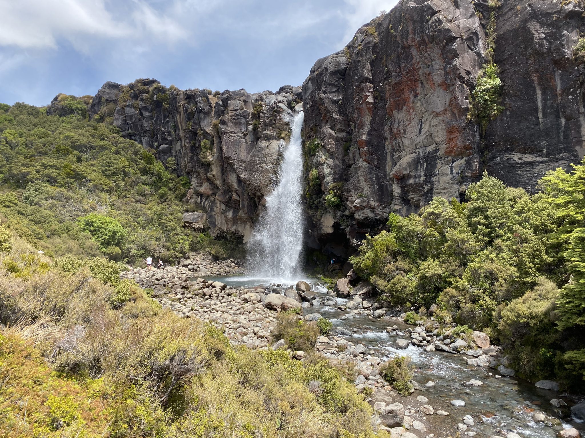
And yes, as the name describes, there’s an amazing waterfall at about the halfway mark with two excellent viewpoints of it (my favourite is the lower one!).
As mentioned, this 6km track starts within the popular Whakapapa Village and from two entrances thus it’s a loop walk.
If you did have your heart set on doing the Tongariro Alpine Crossing, the Northern Circuit, or the Mount Ruapehu Walking Track, it certainly gives you a small glimpse of the terrain you can expect on these more advanced walks.
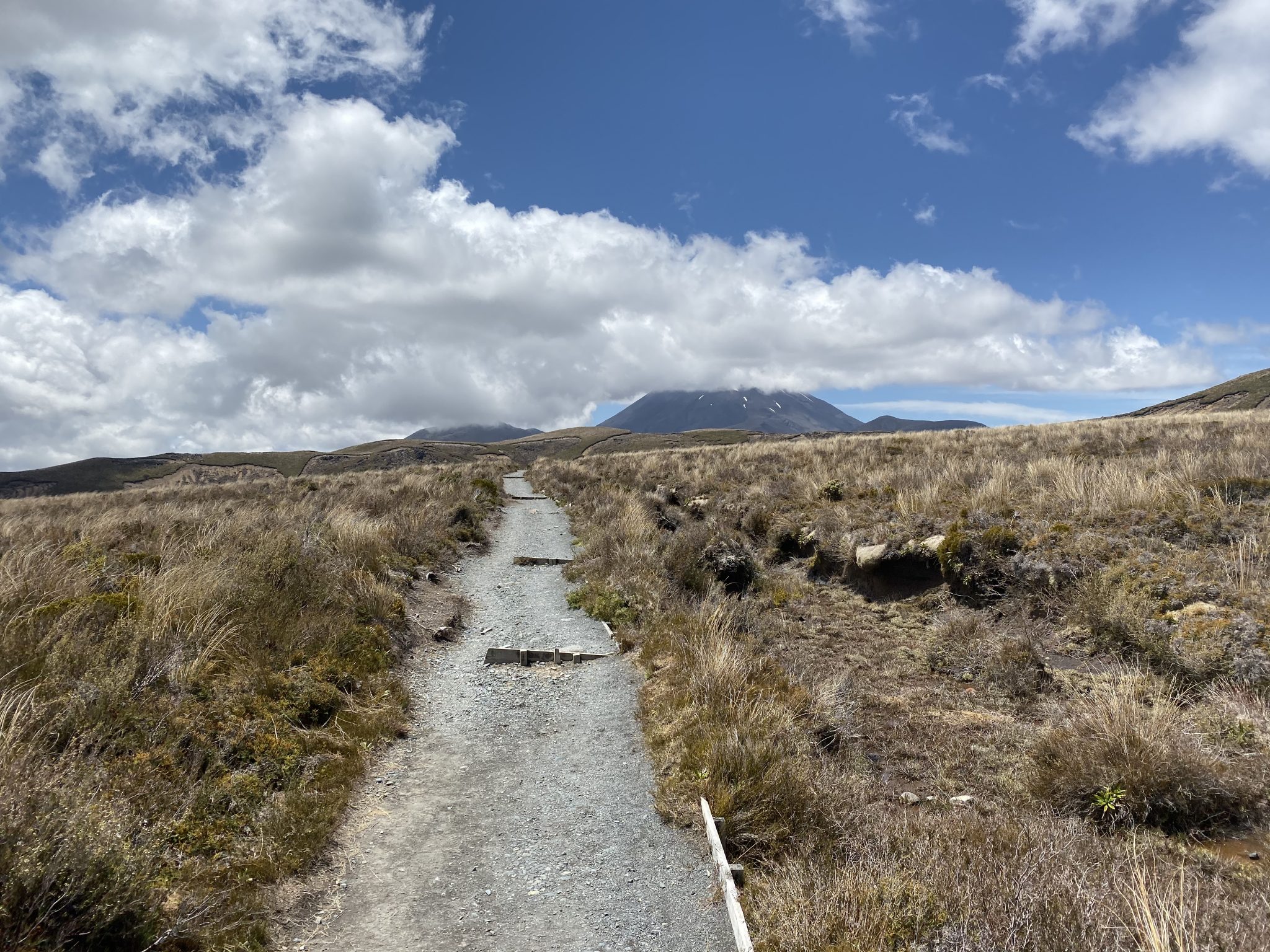
Furthermore, and similar to most of the area, it’s incredibly well-signed regardless of which way you attempt it so the chances of getting lost are basically slim-to-none.
For the purpose of this blog, I did the Taranaki Falls walk in an anti-clockwise direction which I think is the best way to do it.
Why? Firstly, you get rocky terrain and some amazing views of Mount Ruapehu to your right (I dare you not to take at least 100 photos of it as you make your way along the track!) and Mount Ngauruhoe in front of you.
Next up you have the waterfall itself with the two viewpoint options, and lastly, you have a really nice forest section that takes you back up to the Whakapapa Village near the Skotel.
There are also a few little viewpoints of the Wairere Stream which flows downstream from the falls itself.
This was the second time I’d visited Taranaki Falls and I’m always fascinated by how a waterfall such as this one is smack bang in the middle of what is essentially a volcanic park.
Standing at 20m high, but not as tall as Bridal Veil Falls in Raglan, Taranaki Falls flows over the edge of a large andesite lava flow which erupted from Ruapehu some 15,000 years ago.
You can bet your bottom dollar that any of the hikes in the Tongariro National Park have been formed due to an eruption from any one of the three surrounding volcanoes — Ruapehu, Tongariro, and Ngauruhoe – at some point in time.
As I’ve mentioned twice already in this blog, the best spot to view Taranaki Falls is definitely from the bottom.
You will get a good viewpoint from the top, but there’s certainly more room down below to take some amazing photos or stop for a while and take in your surroundings.
Now, you might be wondering if you can swim in the pool at the bottom of the waterfall.
I have seen people do it but, honestly, I wouldn’t recommend it for a number of reasons.
Firstly, the water looks amazing but can make you crook if you happen to swallow it simply due to the nature of the park.
Secondly, you’re treading on some really special land that the local iwi tribes hold dear and therefore we, as tourists, should too and pay our respects by not swimming in these streams or pools.
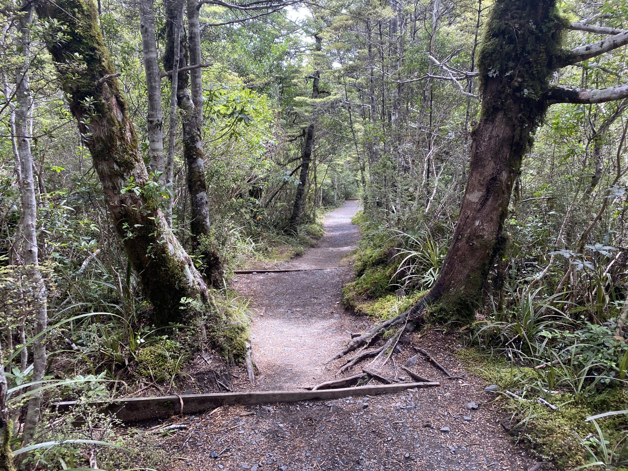
Once you’ve spent your time by the waterfall, continue along the same path which will lead you to a really nice forest section consisting mainly of large mountain beech trees which provide incredible shade on a hot day.
You’ll wind your way along an easy-to-follow path through the forest and eventually make your way back to the Whakapapa Village.
There are some great sections of the Taranaki Falls Track before the village that will give you some more breathtaking views of Mount Ruapehu.
If you enjoy your outdoor photography, and you have a DSLR, I’d highly recommend bringing your tripod for this section to ensure that you get some great shots of Mount Ruapehu.
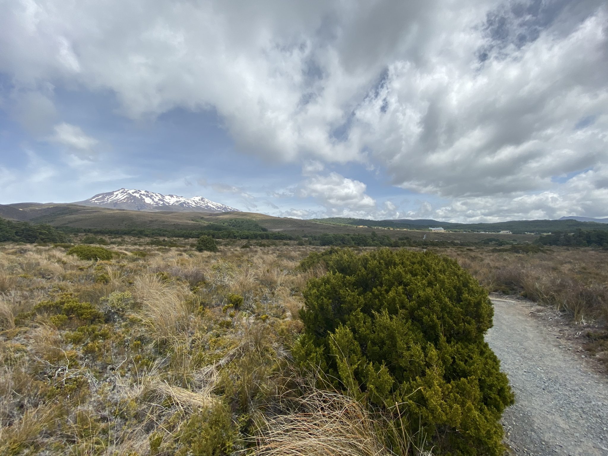
In saying that, I was still able to get some great shots without it and with my iPhone and I’m not much of an outdoor photographer.
So who would I recommend this hike for? As mentioned, it’s probably an easier alternative to the ever-popular Tongariro Alpine Crossing and therefore a good one for parents and their children.
I’d also say that if you’ve only got a day to spare, and the weather isn’t the best to do the Crossing, then I would highly recommend the Taranaki Falls Track.
You don’t need to be super fit and therefore a base level of fitness would absolutely see you through with this one.
Also – keep in mind that whilst I knocked it over in just under two hours, I would strongly recommend that you take your time and spend longer out there especially on a nice day.
For those of you who wish to download this track for future use, you can do so via our Wikiloc account here.
The Stats – Taranaki Falls Track
Length (km): 6.28kms (according to WikiLoc)
Time: 1hr 43min
Moving Time: 1hr 4mins
Difficulty: Easy-moderate (Grade 3)
Maximum Elevation: 1,222m
Accum. elev. uphill: 153m
Accum. elev. downhill: 153m
Return/Loop/One Way: Loop
