This is absolutely the case with the Mount Urchin Track in the Kaimanawa Forest Park.
Located opposite the Tongariro National Park, and part of the plethora of greater Lake Taupo hikes, the near-on 8km Mount Urchin Track is the beginning of a much larger track that continues on into some rugged country known as the Kaimanawa Ranges.
If I could use one word to describe this track it would be challenging.
Again, like most tracks in New Zealand, it’s well-signed and relatively easy to follow as the end destination is a trig at 1,397m.
However, there’s an elevation gain of 585m which, at times, seems absolutely relentless.
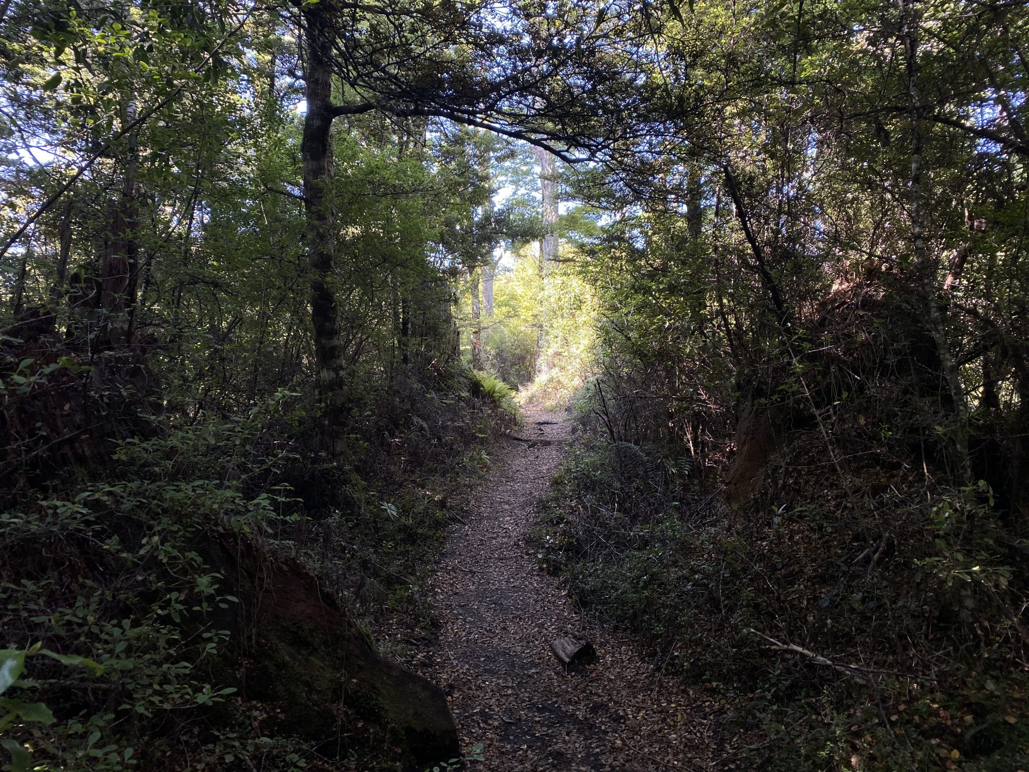
In saying that, it’s an incredibly rewarding walk that begins at a nice little car park in the park and winds its way up through beech forest on a track laden with tree roots.
It’s at around 1,300m that you walk above the tree line and ascend to the trig on a fairly rocky path.
The section of the trail is fairly obvious but be sure to keep an eye on the blue poles with the orange arrows to ensure you are ascending the right path and not some makeshift one.
Given that it’s located not far from the Tongariro National Park, it’s at this point that you start to get some amazing views of Mount Ruapehu and Mount Ngauruhoe.
However, the best view of them both, as well as the surrounding Kaimanawa Ranges and Lake Taupo, is at the top.
I must admit that whilst I thoroughly enjoy all the ‘big name’ walks I’ve done in New Zealand, it’s hidden gems such as the Mount Urchin Track that I enjoy almost that little bit more.
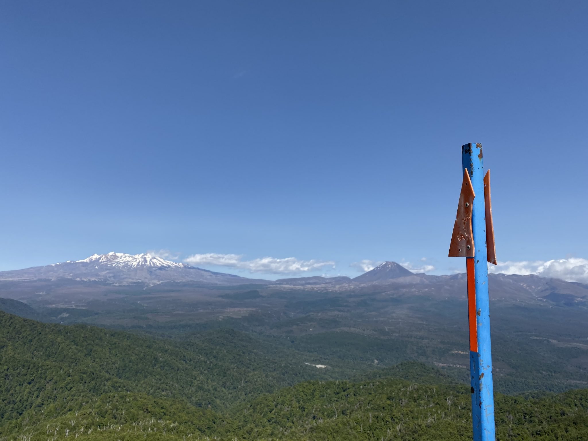
You won’t see many people up there and the views are truly spectacular.
I was up there between mid-morning and midday but I can’t help but feel how much more amazing it would be at sunrise or sunset.
The pics I’ve included in this blog of the Mount Urchin Track really don’t convey just how special the view is (but really – when do they ever!).
Once you’ve finished up at the top, you can return back to the car park the same way you came.
As mentioned at the start of this blog, this track is reasonably challenging.
Starting at 840m, you start climbing pretty much straight away and for a fair distance before there are any flat sections.
However, I will say that the flat sections become a little more consistent once you get closer to the tree line so it’s you’re not only steep sections all the way to the top.
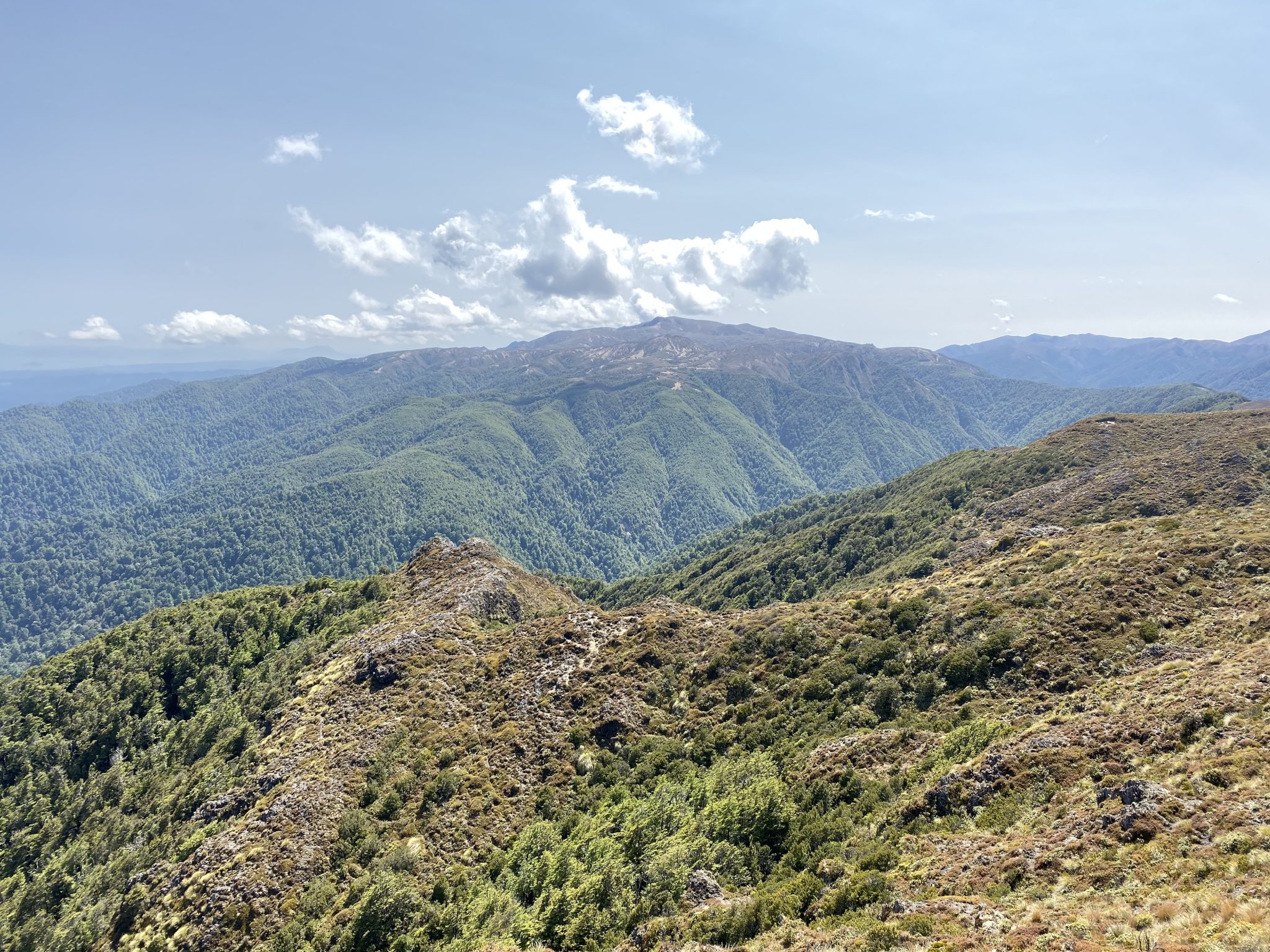
I think the Mount Urchin Track would be suitable for those with a reasonable level of fitness and bushwalking experience, and for those who enjoy a challenge or who are looking for one.
Including several breaks, it took me roughly two-and-a-half hours to complete this hike but I was really pushing myself on those uphill sections.
At a reasonable pace, I’d say it would take anywhere between three-to-four hours to complete.
As always, if you’re keen to download this track and hike it in the future, you can do so via our WikiLoc account here.
The Stats – Mount Urchin Track
Length (km): 7.38kms (according to WikiLoc)
Time: 2hr 36min
Moving Time: 1hr 19mins
Difficulty: Moderate-Difficult (Grade 3)
Maximum Elevation: 1,397m
Accum. elev. uphill: 585m
Accum. elev. downhill: 585m
Return/Loop/One Way: Return
Frequently Asked Questions About The Mount Urchin Track
How long does it take to complete the Mount Urchin Track?
The round trip typically takes about 3 to 5 hours, depending on your pace and how long you spend enjoying the many views along the way.
What is the best time of year to hike the Mount Urchin Track?
I would recommend hiking this from September to November and March to May when the weather is milder. If you prefer the hotter months, then December to February would be ideal.
