Much like the Mount Urchin Track in the Kaimanawa Forest Park, the Waitonga Falls Track is a hidden gem in the Tongariro National Park.
Located in the southern section of the park, and accessible from the ski town of Ohakune, Waitonga Falls is the highest waterfall in the park standing at 39m.
Starting on the Ohakune Mountain Road on the Old Blyth Track, the track itself is a slow but steady rise through mountain beech and mountain cedar forest which provides incredible cover should you be hiking this on a hot day.
As this track is quite close to Mount Ruapehu, the higher you get the more frequent views of the mountain you’ll get.
The hike itself starts at 920m and finishes at an elevation of 1,258m at the waterfall itself.
Whilst it’s a rise in elevation of just over 400m, you’ll barely realise that you’ve hiked that high as it really is a slow ascent to the waterfall.
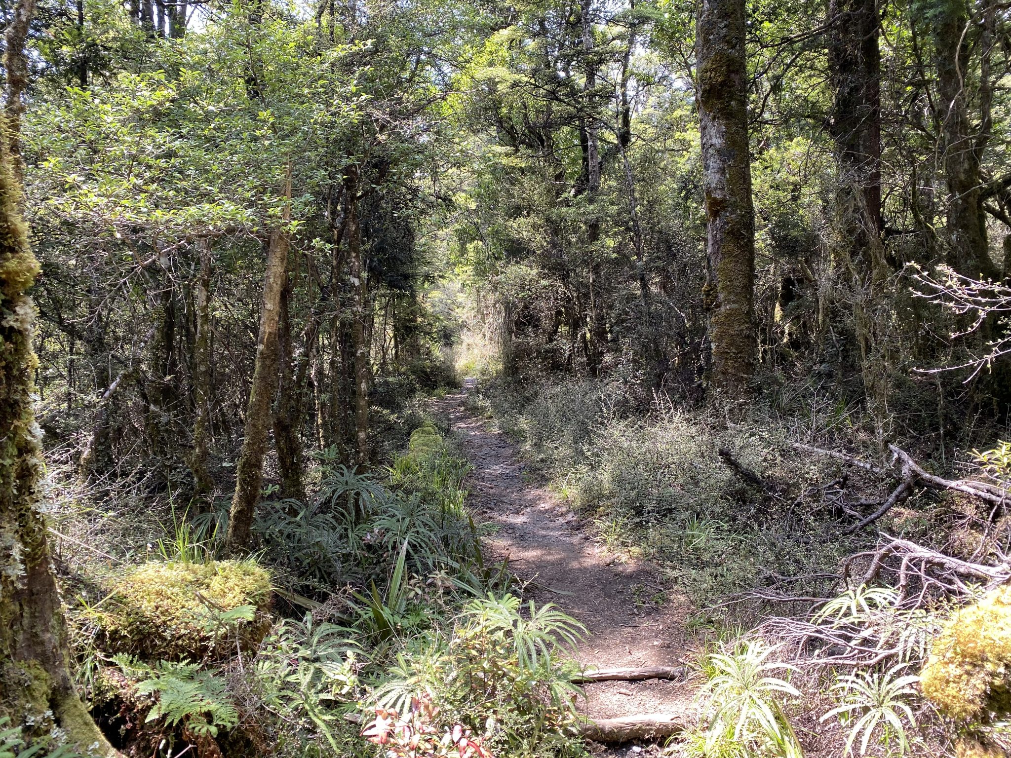
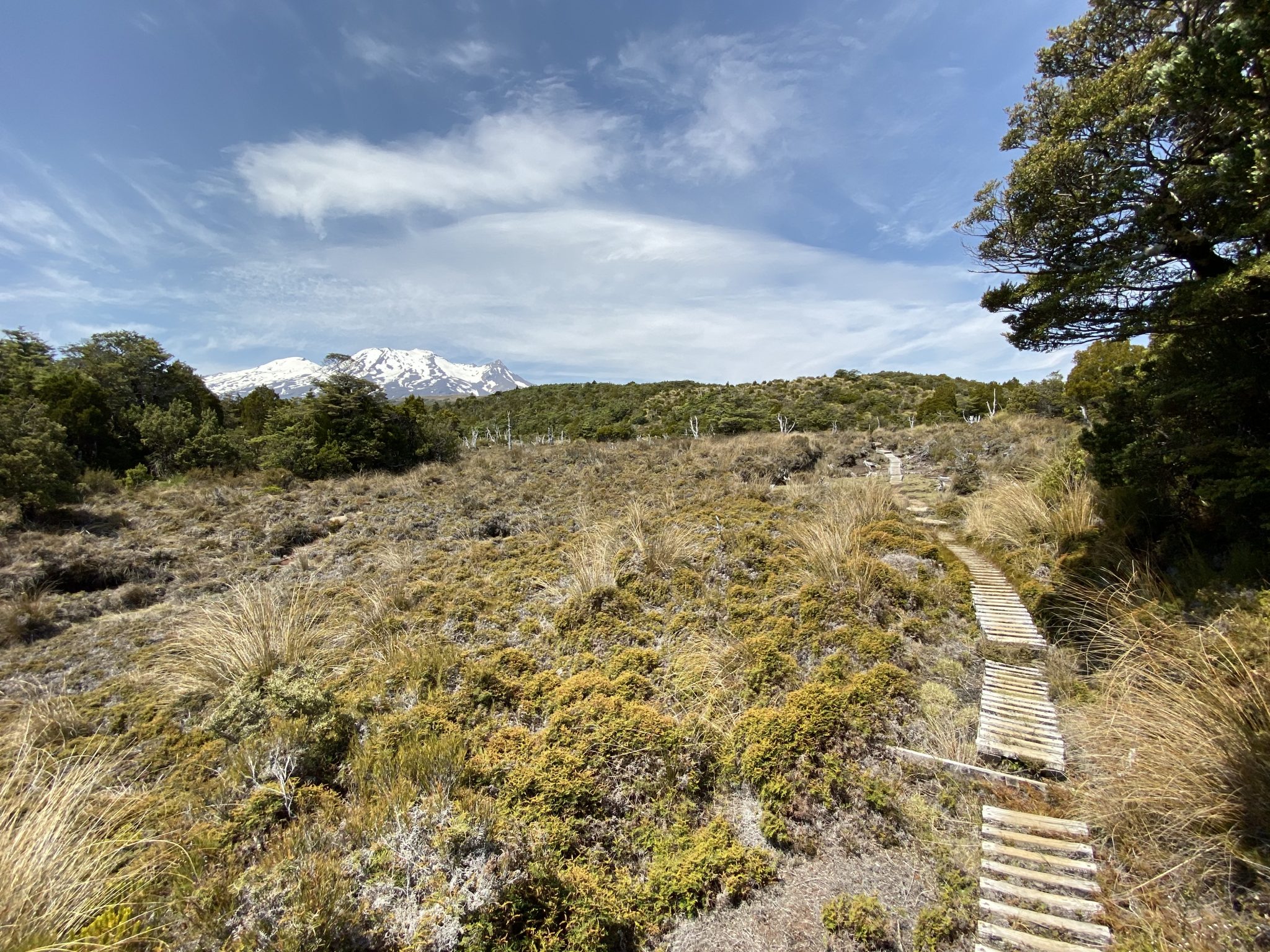
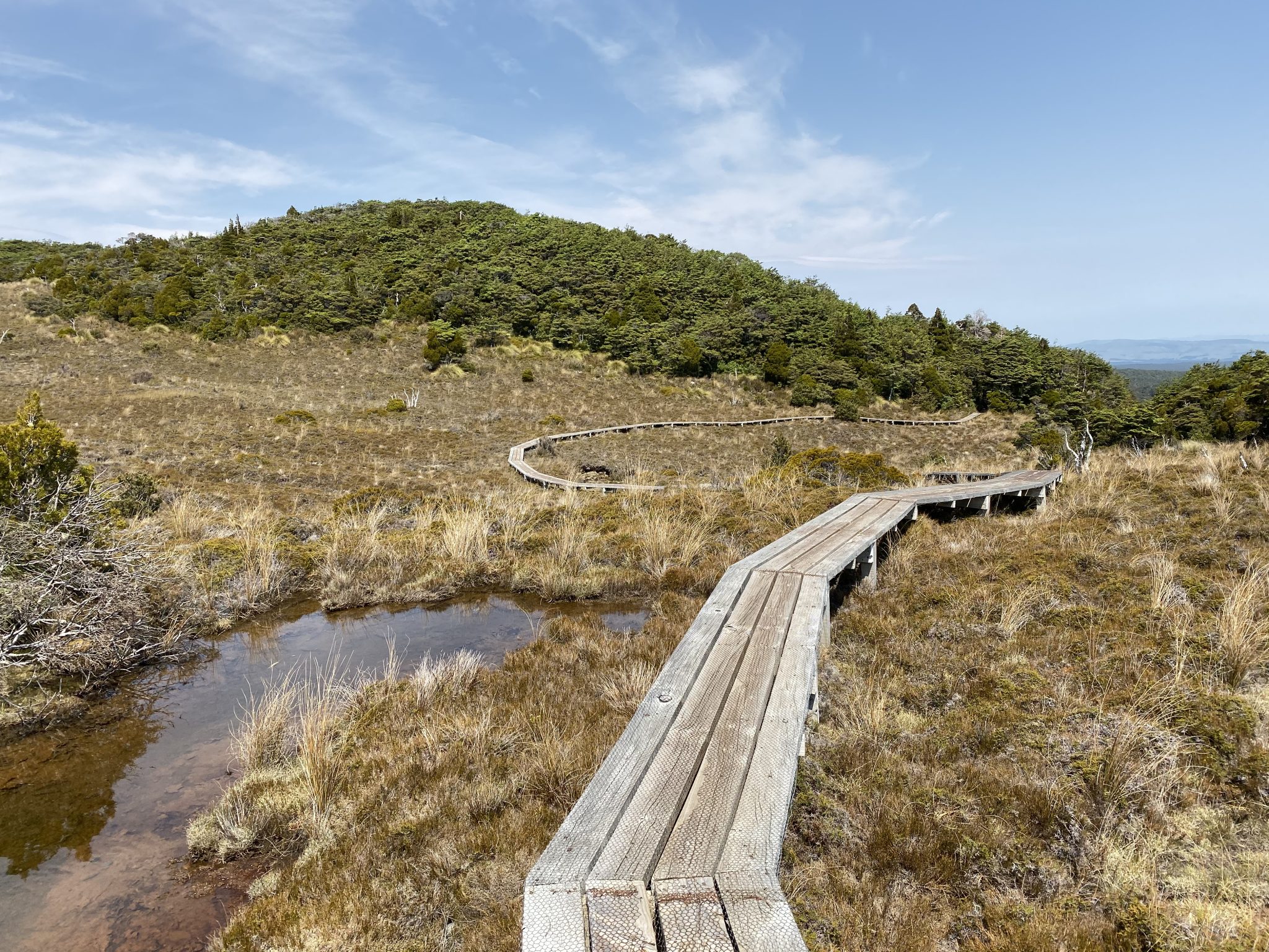
After some time of hiking in amongst the green, mossy beech forest, you’ll find yourself walking along various boardwalks through marshlands teeming with tussocks.
It’s through these boardwalk sections that you’ll get even better views of Mount Ruapehu.
Despite the popularity of Mount Ngauruhoe aka Mount Doom in Lord of the Rings, I reckon Mount Ruapehu is so much better to look at.
Regardless of the time of year, there’s always snow on the top of the mountain as it stands at roughly 2,700m in elevation.
And regardless of which side of the Tongariro National Park you are on you can always see it.
Once you’ve left the boardwalk sections, you’re back into the forest sections as you descend down a flight of stairs and arrive at Waitonga Falls.
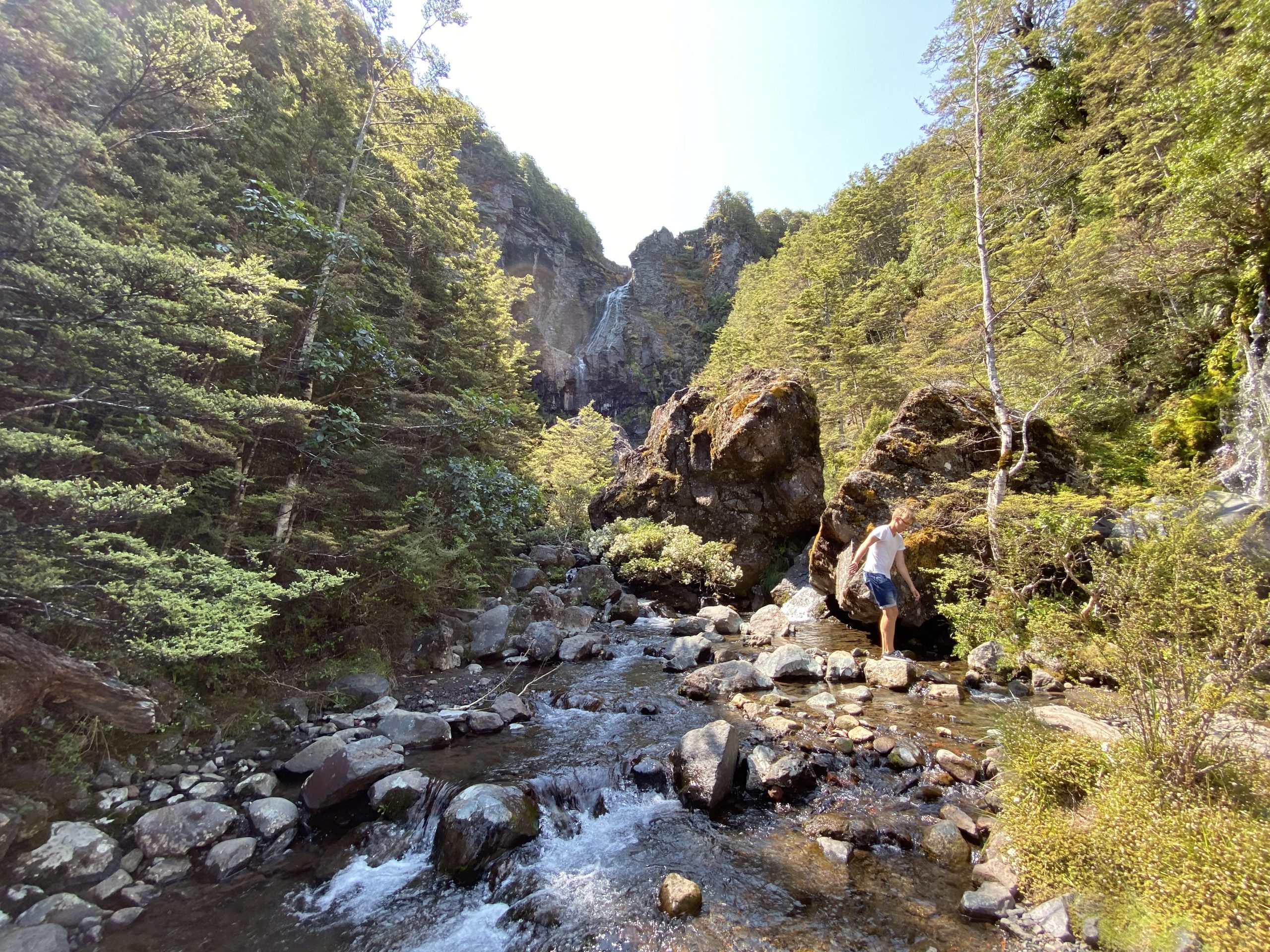
Whilst the base of the waterfall is difficult to access, you can still get some amazing views of it from the various sections along the stream that it flows into.
It’s quite a large area and both sides of the stream are accessible but the water does flow reasonably quickly along here so take extra care when rock hopping from both sides.
I think the great thing about this waterfall compared to the other two waterfalls I’ve visited here in New Zealand – Bridal Veil Falls in Raglan and the nearby Taranaki Falls – is that they all offer something different.
The hike out to Bridal Veil Falls is covered completely in forest scenery and the base of the waterfall is inaccessible, whilst Taranaki Falls is easily accessible but situated in amongst volcanic scree and rocks.
The Waitonga Falls Track is a mixture of them both but with the added boardwalk sections and stupidly good views of Mount Ruapehu.
To get back to the car park, you simply return the same way you came in.
I’d recommend the Waitonga Falls Track for anyone with a decent level of bushwalking experience and those with a reasonable level of fitness.
It’s not overly hard and, as mentioned, whilst you do rise over 400m in elevation you wouldn’t realise that you’re doing so given it’s a steady climb.
Whilst the Waitonga Falls Track is well-formed overall, there are small sections that are cut up and quite muddy & slippery underfoot.
I will also mention that whilst this was a 13km return hike, there is a shorter 4km version of it that can be done.
You basically skip all of the Old Blyth Track and start from another trailhead further up Ohakune Mountain Road.
I think if you were short on time, had little children with you or just wanted to see the waterfall without spending too much time hiking, then this would be an ideal alternative.
Finally, the Waitonga Falls Track forms part of a much longer track in the Tongariro National Park – the Round the Mountain Track.
This is a 4-6 day hike that goes around Mount Ruapehu and utilises a lot of the backcountry huts in the area.
It’s probably more suited for those with significant hiking experience as a pack carry is required and the terrain can be difficult at times.
Overall, the Waitonga Falls Track is yet another alternative hike in the Tongariro National Park where you’ll almost find very few people on it and therefore be able to enjoy the outdoors as it should be enjoyed.
As usual, if you’re keen to do this track at some stage, you can download the track file from our WikiLoc account here.
The Stats – Waitonga Falls Track
Length (km): 13.36kms (according to WikiLoc)
Time: 3hr 7mins
Moving Time: 2hr 7mins
Difficulty: Moderate (Grade 3)
Maximum Elevation: 1,258m
Accum. elev. uphill: 419m
Accum. elev. downhill: 419m
Return/Loop/One Way: Return
Frequently Asked Questions About Waitonga Falls Track
What is the difficulty level of the Waitonga Falls Track?
I would rate this track as easy to moderate, making it suitable for most fitness levels, including families with children.
Can you camp anywhere nearby on the track?
You can’t but there are some nearby huts that you can book to stay in as part of the Round the Mountain Track.
