If the weather turns bad and you’re unable to hike the popular Tongariro Alpine Crossing, a similar alternative would have to be the Tama Lakes Track.
Much like a lot of the popular hikes in the Tongariro National Park, the near-on 17km Tama Lakes Track starts and ends at the Whakapapa Village.
However, in saying that, the official start of the track is at a junction at the halfway mark of the Taranaki Falls track.
Furthermore, this first section, and indeed right until the turn-off for the lake forms part of the 3-4 day Tongariro Northern Circuit.
Somewhat similar to the Tongariro Alpine Crossing, the Tama Lakes Track follows a rocky path through exposed, hilly sections of tussock and alpine herb fields, as well as the occasional boardwalk.
And all of this before you reach the lake!
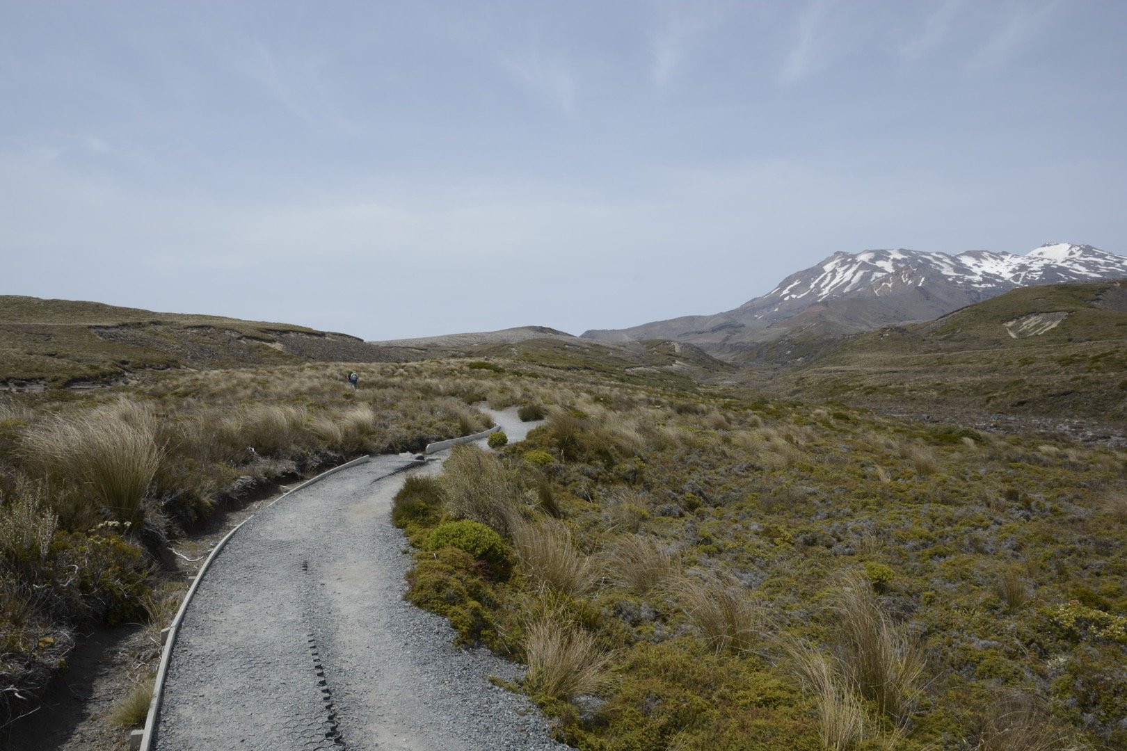
And much like a lot of the other Tongariro walking tracks, you’ll be treated to exceptional views of Mount Ngauruhoe and Mount Ruapehu throughout the entire walk.
It’s also worth noting that some of the oldest lava flows on the slopes of Ruapehu and Tongariro can be found at the Tama Saddle.
The lakes occupy approximately six explosion craters which were created around 10,000 years ago during an intense eruption period.
After quite some time of walking along this track, you’ll come to another junction where you’ll take a left to continue heading to the Upper Tama Lakes (1,436m) and Lower Tama Lakes (1,240m).
Again, this area is incredibly exposed and vulnerable to wind coming through which can make it somewhat tricky when ascending the ridge to the Upper Tama Lakes.
In saying that, if you take your time, and dress appropriately in a windbreaker, rain jacket, or puffer jacket, you should be able to deal with the wind just fine.
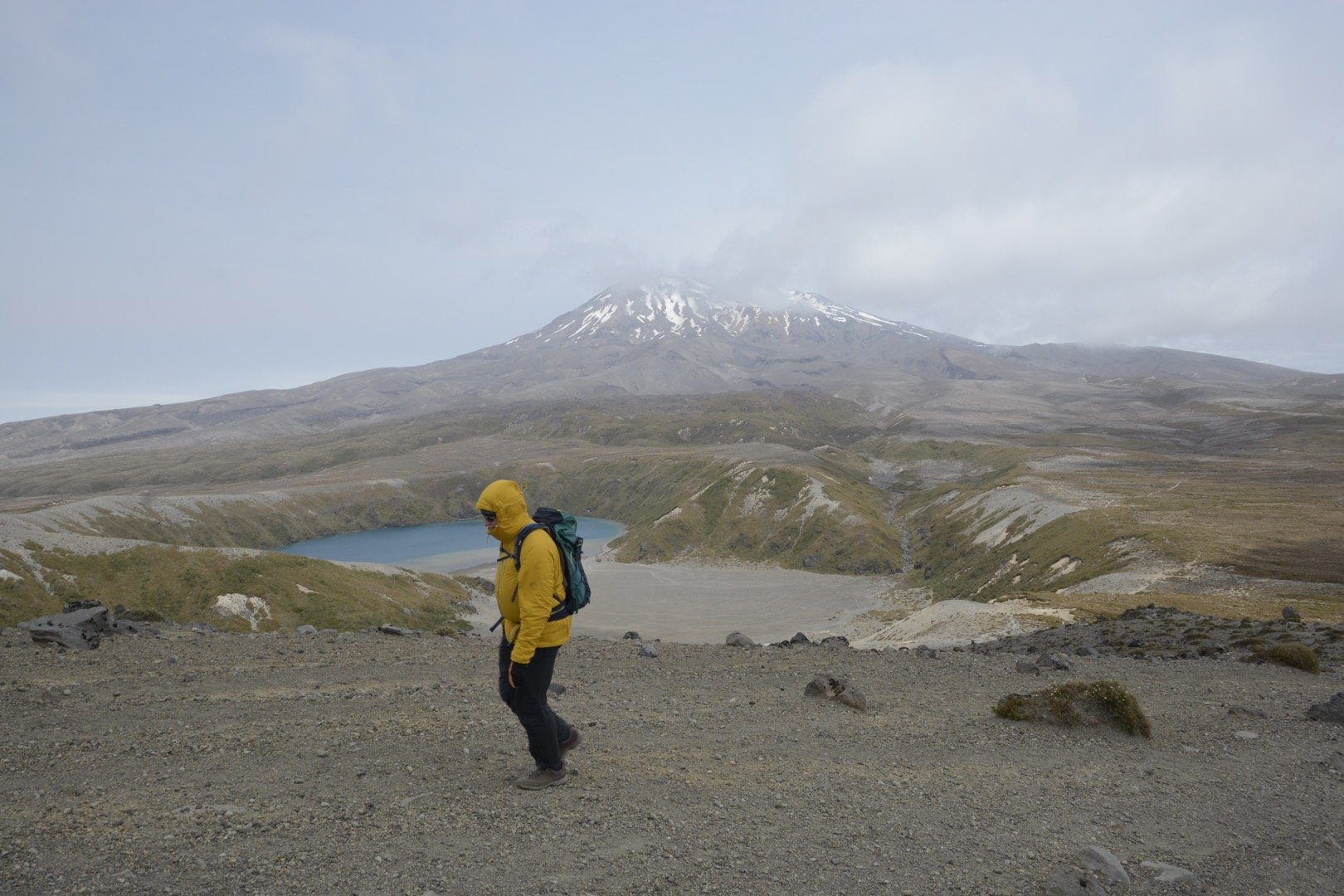
On the day I went up there, I only got so far along the ridge before the wind really started to pick up and it became unsafe to continue on further.
The Met Service app is a handy one to have as it will give you an idea of how strong the winds will be in the Tongariro National Park, as well as anywhere else in New Zealand, and thus you can judge whether it’s safe to head out and along the ridge.
Once you start ascending the ridge to the Upper Tama Lakes section, there’s no real defined path but there are poles that you can use to find your way.
And much like the Tongariro Alpine Crossing, the type of terrain you’ll be walking across up to the top is a mixture of scree and volcanic dust.
Whilst it feels like it might take forever to walk up, it certainly makes for an interesting walk down once you’ve finished at the top.
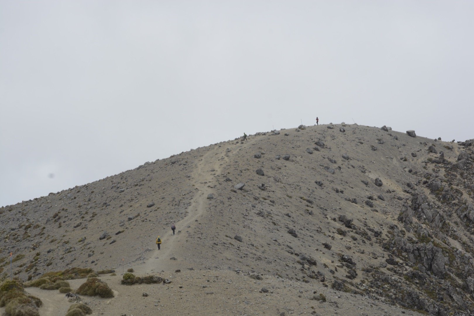
Given all the rocks and scree you have to deal with, it’s very easy to slip over. My advice would be to roll with the rocks and slide down as if you were on a skateboard.
Once you’re down from the top, keep an eye out for the signs for the Lower Tama Lakes and take left to head down there for another view of the lake.
To get back up, simply go back the way you came and continue heading back to either the same spot you started at or continue on down past Taranaki Falls finishing the walk as a loop instead.
Whilst the Tama Lakes Walk is certainly challenging in parts, it’s certainly very much doable for anyone who has done a bit of hiking.
As you’ll see in the stats below, I managed to finish it in three hours and twenty minutes, but the various signs in the area, as well as the Department of Conservation website, suggest that it should take 5-6 hours which makes it an entire day walk.
I really need to emphasise my earlier point about the potential winds you might face there and the type of gear you should bring.
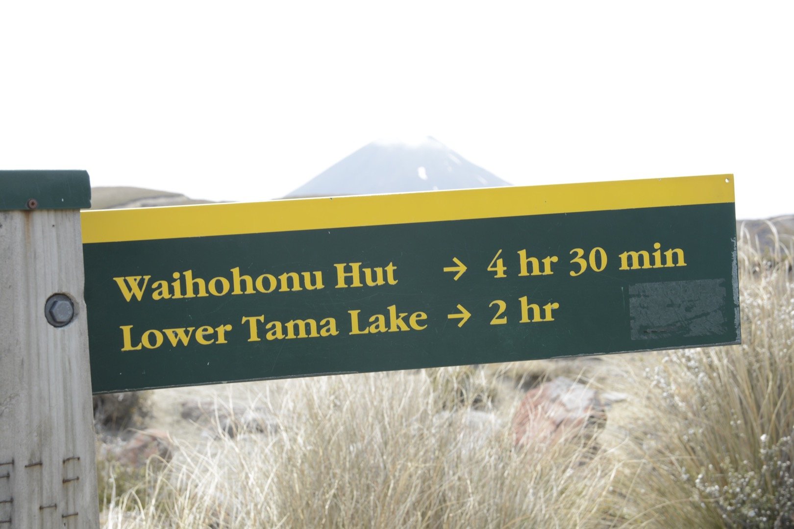
The weather in the Tongariro National Park, and indeed all of New Zealand, can be unpredictable and change without warning even at the best of times.
The park itself is an alpine area and thus the appropriate gear needs to be worn or at the very least taken with you should the winds pick up or the rains kick in.
If the winds get above 65km or the heavens look like they are going to erupt, don’t risk it.
As always, if you’re keen to do this hike at any point, you can download it via our WikiLoc account here.
The Stats – Tama Lakes Track
Length (km): 16.53kms (according to WikiLoc)
Time: 3hr 21mins
Moving Time: 2hr 74mins
Difficulty: Moderate (Grade 3)
Maximum Elevation: 1,436m
Accum. elev. uphill: 518m
Accum. elev. downhill: 518m
Return/Loop/One Way: Loop or Return
