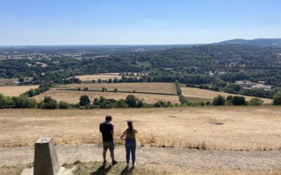
Located in the Bunyip State Park, the Windy Point Track is a steady 10km track that takes you through a quiet part of the park; despite its trailhead situated at the always popular Mortimer Picnic Ground.
The track itself includes a couple of other smaller tracks, but you’ll spend most of your time on the Windy Point Track section.
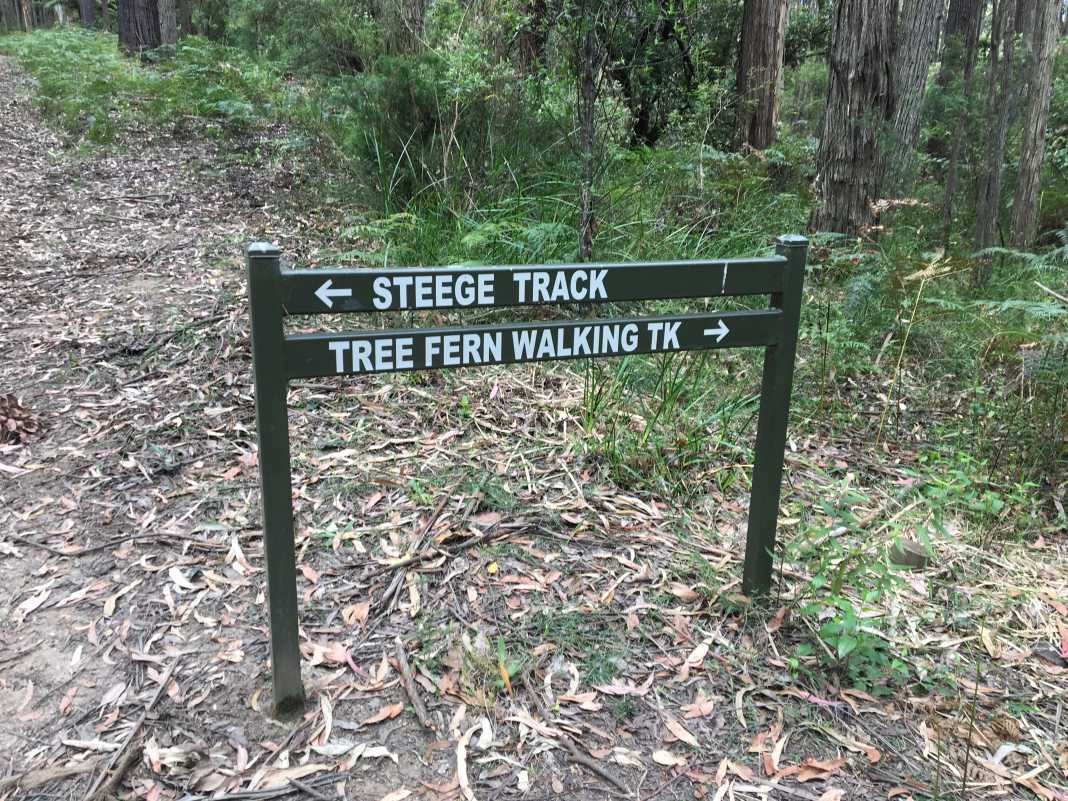
Starting at the Mortimer Picnic Ground, head north on Triangle Track until you come to a junction.
The Windy Point Track is the one on the far left and is a gentle climb passing the intersection of the Tree Fern Track and Steege Track.
A little further north and to the left is the beginning of the William Wallace Track. Within a few minutes of hiking this section, you begin to gradually head downhill.
Taking a sharp left-hand turn onto a short, flat section of the track you are then confronted by a reasonably steep hill.
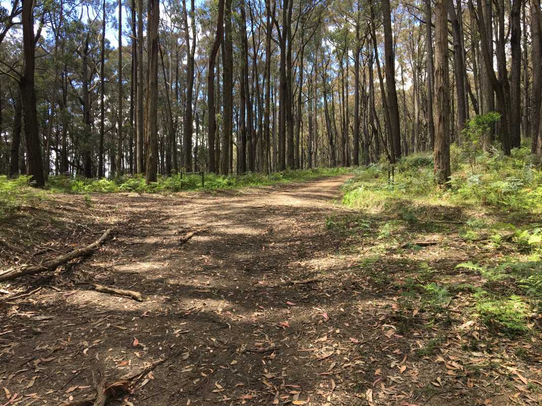
If you read my article a few months back about conquering hills, you will just about run up this section.
We had a short break after this hill and the trail flattens out a little more before coming to the end of the William Wallace Track and the beginning of the Windy Point Track.
This section is a gradual uphill before you begin heading downhill towards the fork of this track and the William Wallace Track.
Again, a little further south is the intersection of the Windy Point Track, Tree Fern Track and Steege Track.
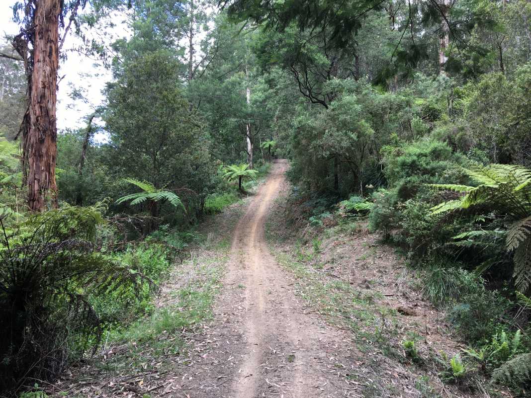
Instead of going back the way I came, I decided to take a right onto Steege Track which brought me back out onto Tonimbuk Road.
The Steege Track is yet another example of just how beautiful the area is with its tall Mountain Ash trees and ferns scattered everywhere.
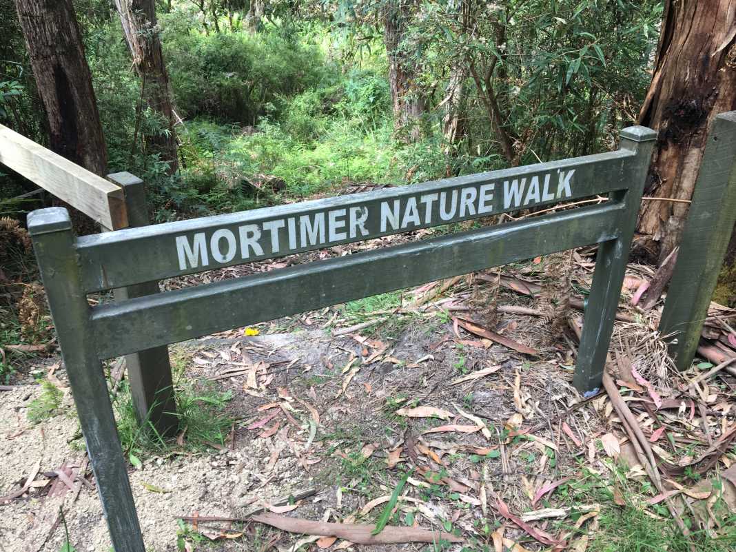
Instead of walking along the road back to the picnic ground, do yourself a favour and take the Mortimer Nature Walk.
It’s a little different to the rest of the track as it’s more dense forest than open track. But it certainly makes for a nice end to the walk.
I would rate this walk somewhere between easy-to-moderate as it would be easy to complete for someone of a good fitness level, but those who don’t might find some of those hills a little challenging.
However, by no means is it a difficult trail. For beginner hikers, it may just take a little longer.
As always, if you wish to download this track for yourself, you can do so here via WikiLoc.
The Stats – Windy Point Track – Bunyip State Park
Length (km): 10.5km (according to WikiLoc)
Time: 2hr 24 mins
Moving Time: 2hr 6 mins
Average Speed: 4.36 km/h
Difficulty: Easy-Medium
Maximum Elevation: 398m
Accum. elev. uphill: 396m
Accum. elev. downhill: 413m
Return/Circuit/One Way: Circuit
