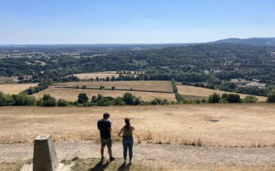
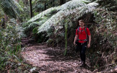
Starting from the middle of town at the back of Gallipoli Park, the Tree Fern Gully Trail follows a gravel track to Steavenson Falls and back.
One of the many fantastic hikes available to you in Marysville, it’s often an alternative to seeing the falls as it incorporates a longer walk.
Passing through manna gums, mountain ash, and tree ferns, the track follows either side of the Steavenson River.
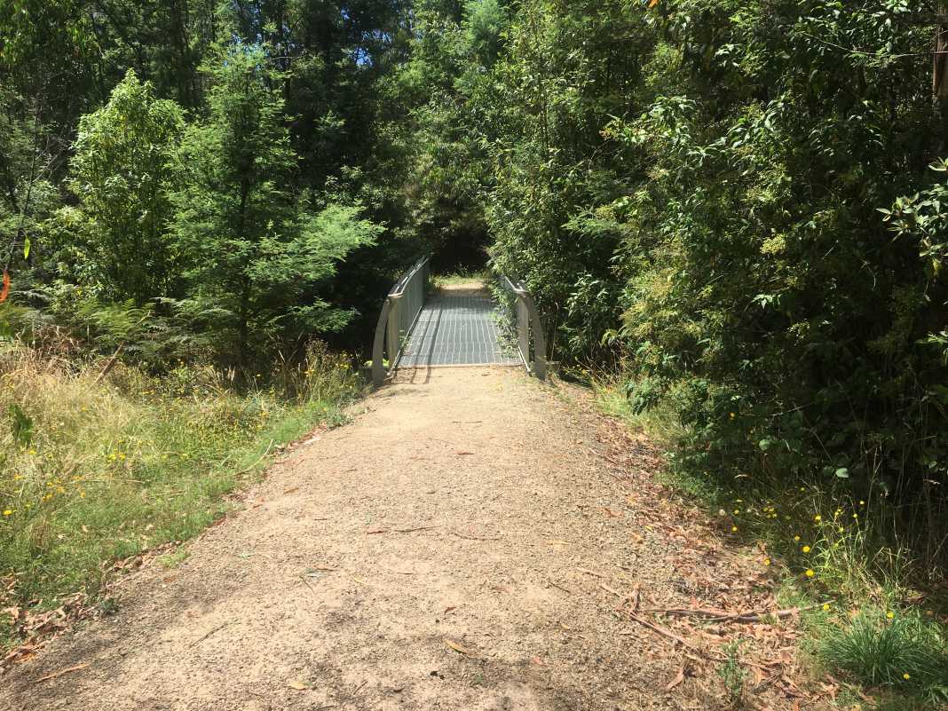
As mentioned, start from the Gallipoli Park car park and cross the bridge near the tennis court.
Turn right at the intersection and this is where the track officially begins. There is a sign here that shows this one as well as others in the area.
The first section of the track includes a few gentle hills as well as some great views of the surrounding hills towards Keppel Lookout
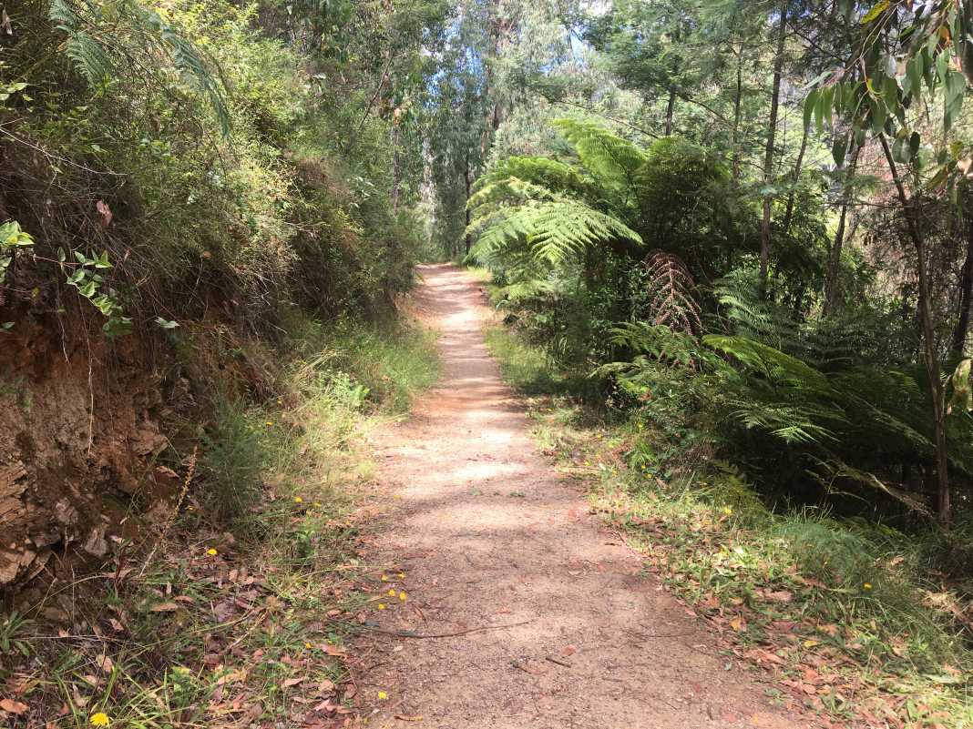
After a few kilometres, you will cross a bridge that will bring you to the southern bank of Steavenson River.
From here, turn left and continue along the track for a further kilometre until you reach Steavenson Falls.
If you’ve yet to visit the falls, I highly recommend that you do. There are two viewing platforms – one at the bottom and one at the top.
Whilst the bottom viewing platform is great, the top platform is absolutely fantastic and offers great views of not only the waterfall itself but the Marysville area too.
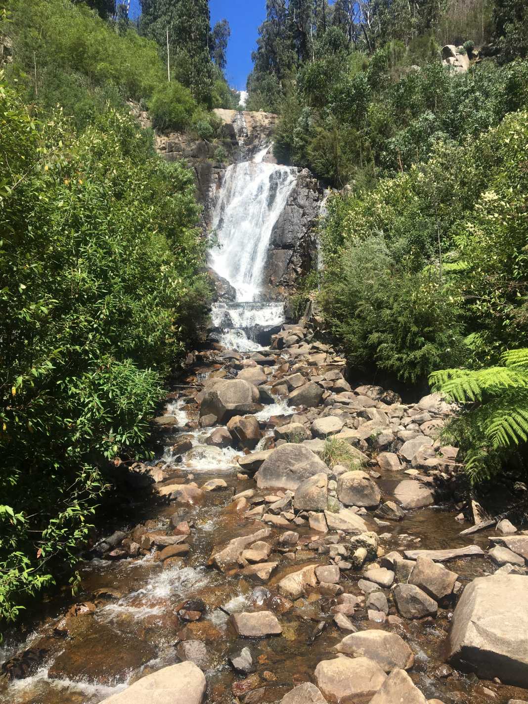
It can be reached by an 800m trail that slowly zig-zags its way to the top.
Once you have finished visiting the falls, make your way back to Gallipoli Park the way you came.
This hike took our group just under three hours to complete including a twenty-minute break at the top of the falls.
I would recommend the Tree Fern Gully Trail to any beginner hiker or anyone who is looking for an easy stroll through an absolutely amazing area.
If you have never been to Marysville before, I would highly recommend taking a drive out there sometime soon.
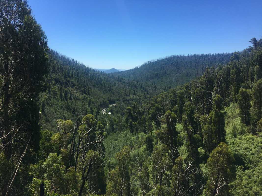
As it is only a 90-minute drive from Melbourne, the Tree Fern Gully Trail is an ideal day hike where you can stay a little longer and experience the other activities the town has to offer.
Getting there is quite easy: find your way to Maroondah Highway, drive through Healesville and the Black Spur, and take a right on Marysville Road before Narbethong.
As always, if you would like to follow this track, please do so here via Wikiloc.
The Stats – Tree Fern Gully Trail Return
Length (km): 8.65km (according to WikiLoc)
Time: 2hr 48 mins
Moving Time: 2hr 27 mins
Average Speed: 3.03 km/h
Difficulty: Easy
Maximum Elevation: 663m
Accum. elev. uphill: 241m
Accum. elev. downhill: 241m
Return/Circuit/One Way: Return
