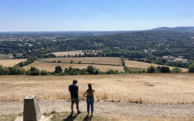
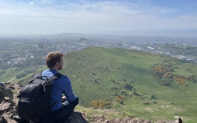
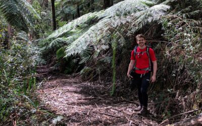
Despite there being plenty of tracks in the Bunyip State Park, the Four Brothers Rocks track is without a doubt the most popular hike in the area.
Did you know…
Around 45% of the park was burnt during the 2009 Black Saturday bushfires?! Fifteen years on and the entire area appears to have regrown.
We found ourselves starting the 13km hike from Mortimer Picnic Ground; the base camp for most hikes in the park.
You can camp here as well, however, there is very little water so make sure you bring plenty with you.
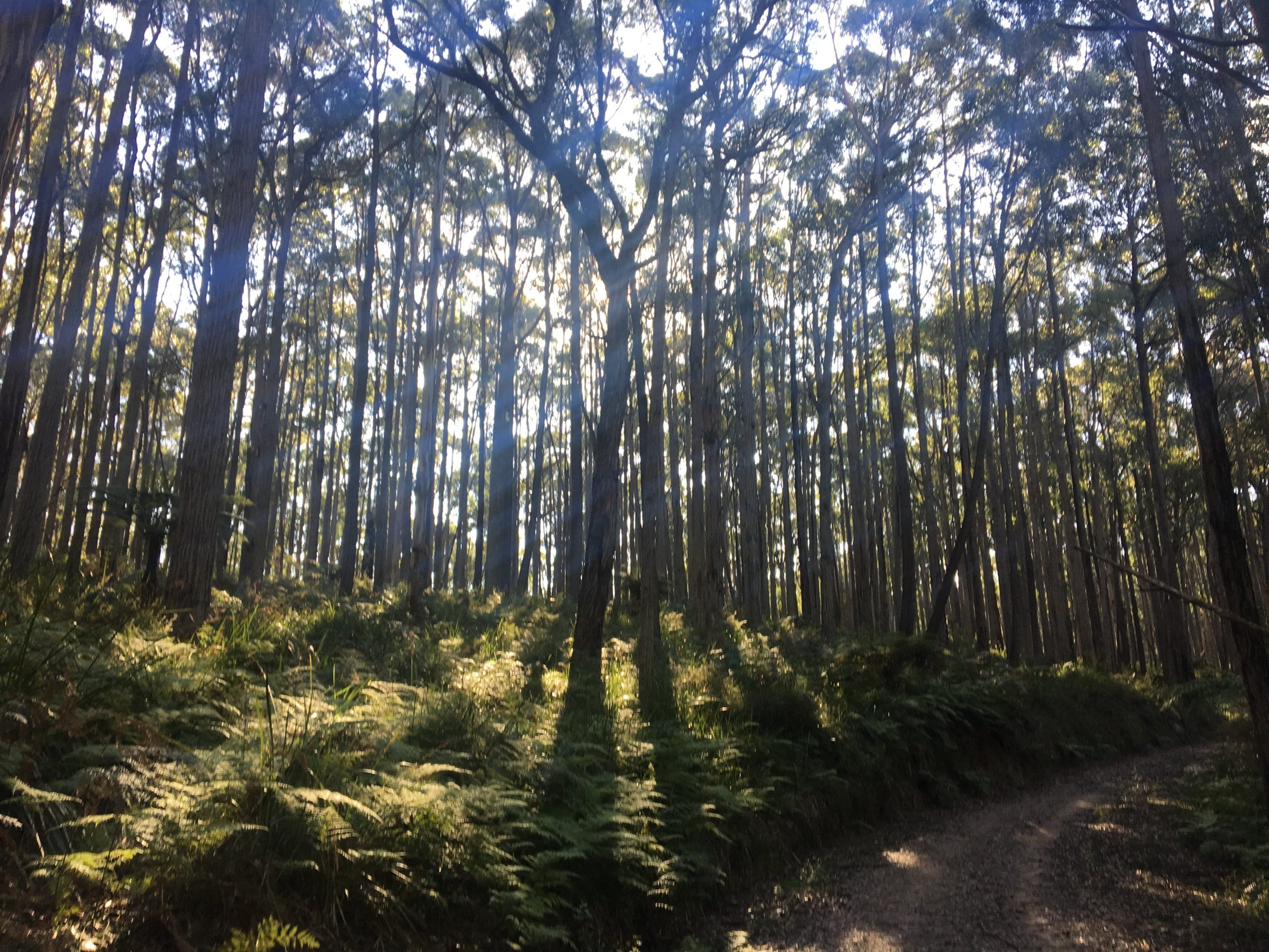
I hiked north for a while on Triangle Road until I came to a three-part intersection. Taking a left onto Williams Track, this is a gentle incline to yet another intersection where you turn right at Tree Fern Track.
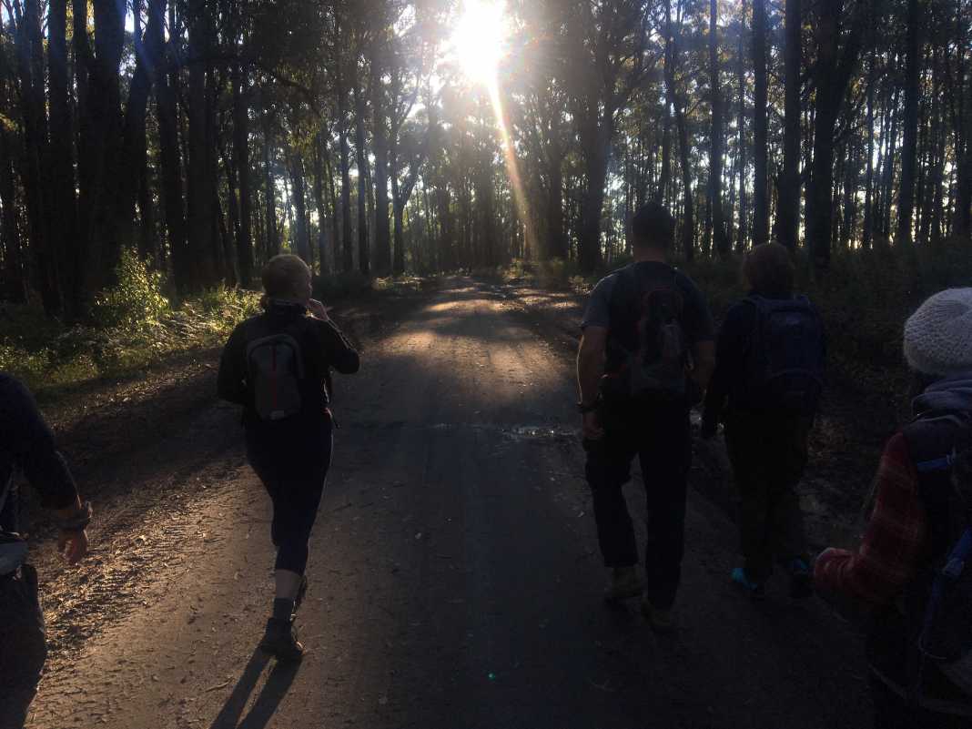
Up until this point, the tracks are quite wide and you’ll be able to walk side-by-side.
Tree Fern Track is your typical hiking track in a forest and begins with a reasonably steep descent into the forest. Be mindful of the weather as it can be quite slippery as you make your way down.
After a while, I crossed over Link Road and continued on Tree Fern Track which eventually flattened out.
The track then leads to the intersection of Nichols Hut Track and this is when the “fun” begins. It’s a gradual uphill hike for a short while and then you are met with a really steep section that I think will test most people.
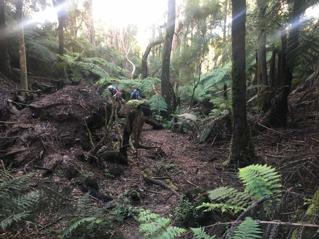
It can be slippery in parts due to the nature of the track, but it’s a great workout for your quads and calves.
The track then flattens out once more and once you reach the end, take a right and then make your down Burgess Road to the Four Brothers Rocks lookout.
This place has a series of randomly placed granite rocks that double as viewing platforms for other parts of the park.
Unfortunately, you can’t camp here but it is a nice place to stop and relax and perhaps have a picnic as well.
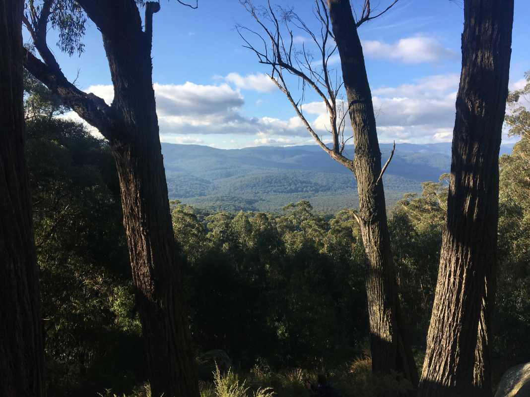
There are a number of ways to get back to Mortimer Picnic Ground, but the most direct route is to follow Burgess Road.
This will then merge into Link Road and after a while, you’ll see a gate to the right that will lead you down Triangle Road.
Apart from the steep hill before the rocks, this hike is achievable for those who have a good level of fitness.
In saying that, even if you don’t, you can always take your time getting up the hill as it is hardly insurmountable.
The views from the Four Brothers Rocks will be all worth the effort you put in getting there.
If you would like to follow the same track we did, follow it here via WikiLoc.
 The Stats – Four Brothers Rocks Track – Bunyip State Park
Length (km): 13.03km (according to WikiLoc)
Time: 3hr 29 mins
Moving Time: 2hr 58 mins
Average Speed: 3.72km/h
Difficulty: Moderate
Maximum Elevation: 418m
Accum. elev. uphill: 460m
Accum. elev. downhill: 460m
Return/Circuit/One Way: Circuit
