Quickly becoming one of my favourite places to go hiking, the Grampians National Park is home to the spectacular Mount Rosea return trail.
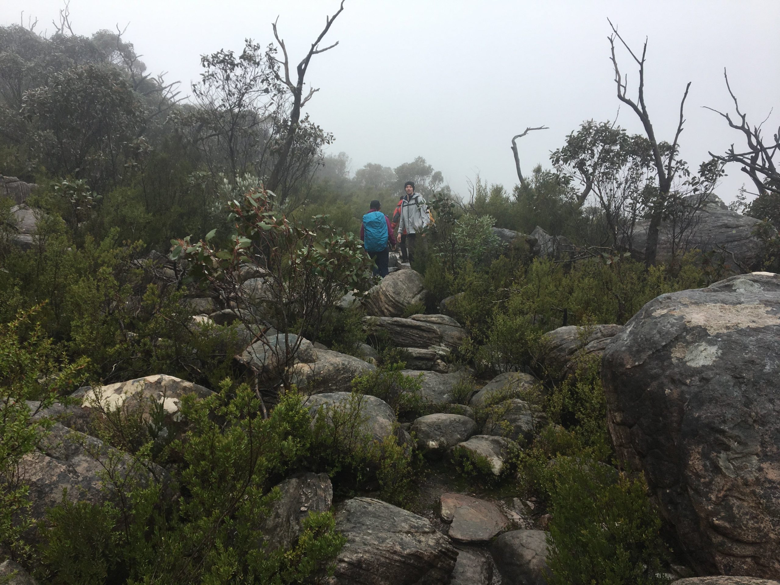
The peak is a smidge past 1000m in elevation and the trail itself is a mix of bushland and rocky terrain.
I didn’t find this hike too strenuous or difficult by any stretch of the imagination and believe it is one that most could do regardless of the pace.
Similar to Boronia Peak and the Pinnacle Circuit – two of the other tracks in the area – it is a well-signed track thus getting lost would almost be impossible. But it can happen so don’t completely rely on signage.
Furthermore, getting to the trailhead of the Mount Rosea hike is quite an easy drive from Halls Gap.
Take Mount Victory Road (which becomes Northern Grampians Road) for a few kilometres and take a left at Silverband Road.
Drive a kilometre or two, take a right at Stony Creek Road and the trailhead will be on your right.
Again, it is well-signed so you can’t miss it.
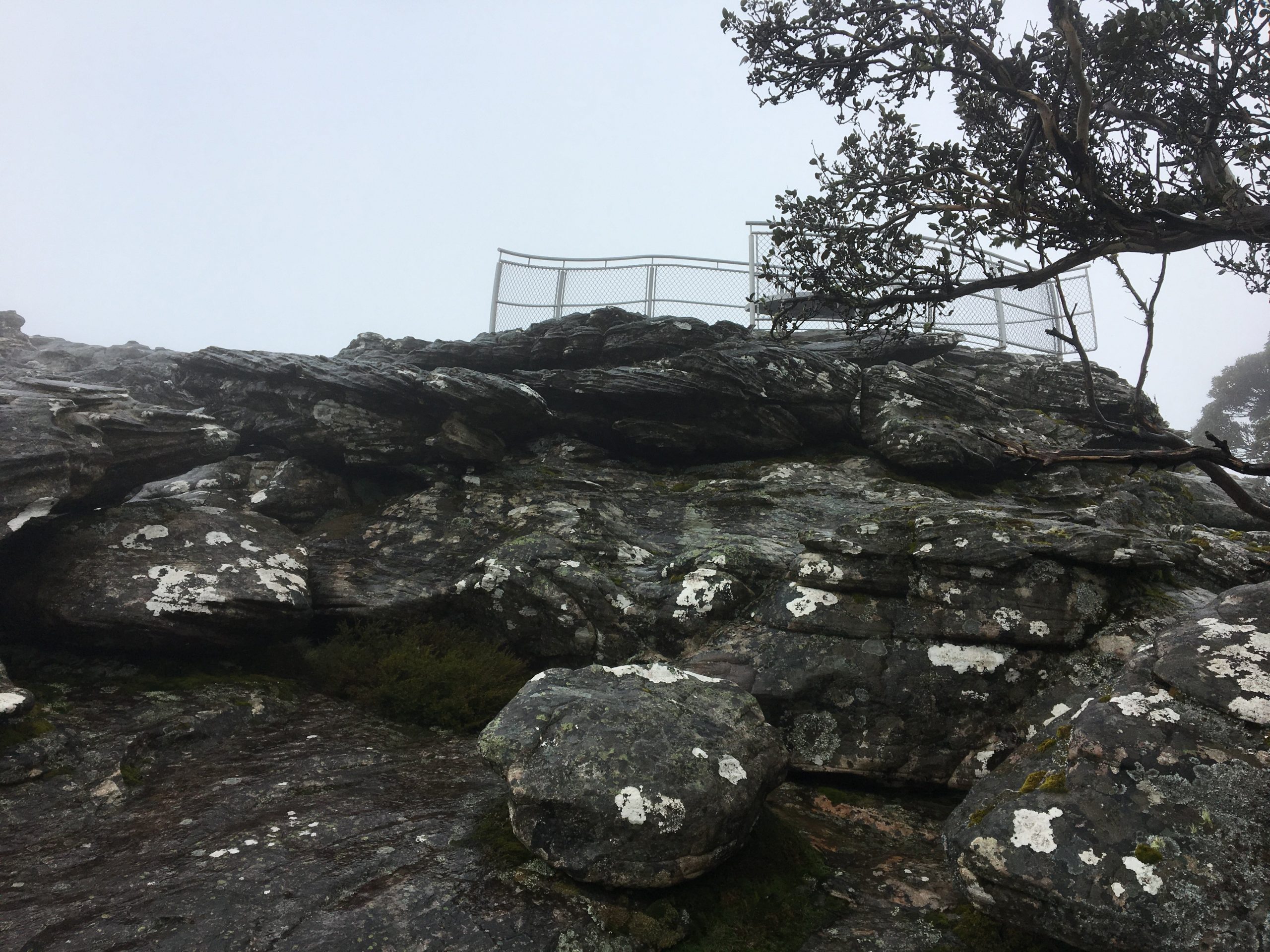
When you start hiking through the rocky area, you’ll be guided by yellow arrows either on the ground or directly in front of you on the rocks themselves.
Now that I have been able to do a few hikes in the area, I would say that if you are looking to go hiking and avoid the crowds at the same time, Boronia Peak, Mount Rosea and Chautauqua Peak are my recommendations.
Don’t get me wrong, the Pinnacle Circuit is a great walk but as it is the go-to walk in the Grampians, you’ll almost certainly always be contending with crowds.
The Grampians is well-known for its amazing views from its various lookout points but the fog was so thick on the way up that I could barely see anything.
On the way down, it had cleared quite a bit and I got to see some of the valleys below but I can only imagine what the walk would be like on a clear day.
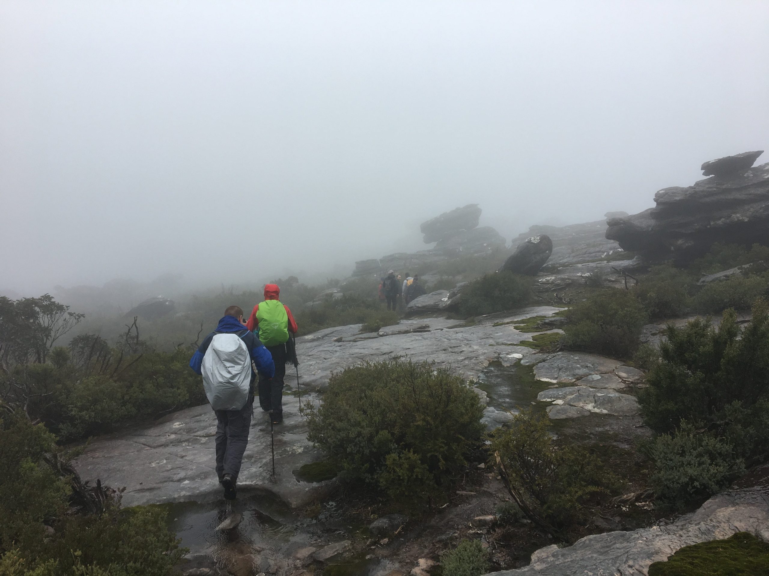
Finally, you don’t have to do this hike as a return hike. Along the way, the signs will point you in the direction of other trails and locations to visit.
So there are several opportunities to tack on other points of interest in the area to the Mount Rosea hike should you want to.
As always, if you wish to do the same hike we did, and you have the app, you can download it from my WikiLoc account.
The Stats – Mount Rosea Return
Length (km): 9.7km (according to WikiLoc)
Time: 3hr 50 mins
Moving Time: 3hr 23 mins
Average Speed: 2.52km/h
Difficulty: Moderate
Maximum Elevation: 1010m
Accum. elev. uphill: 392m
Accum. elev. downhill: 392m
Return/Circuit/One Way: Return
