Located in the Toolangi State Forest, the Tanglefoot Loop is a track like any other that you might find in the Yarra Valley area.
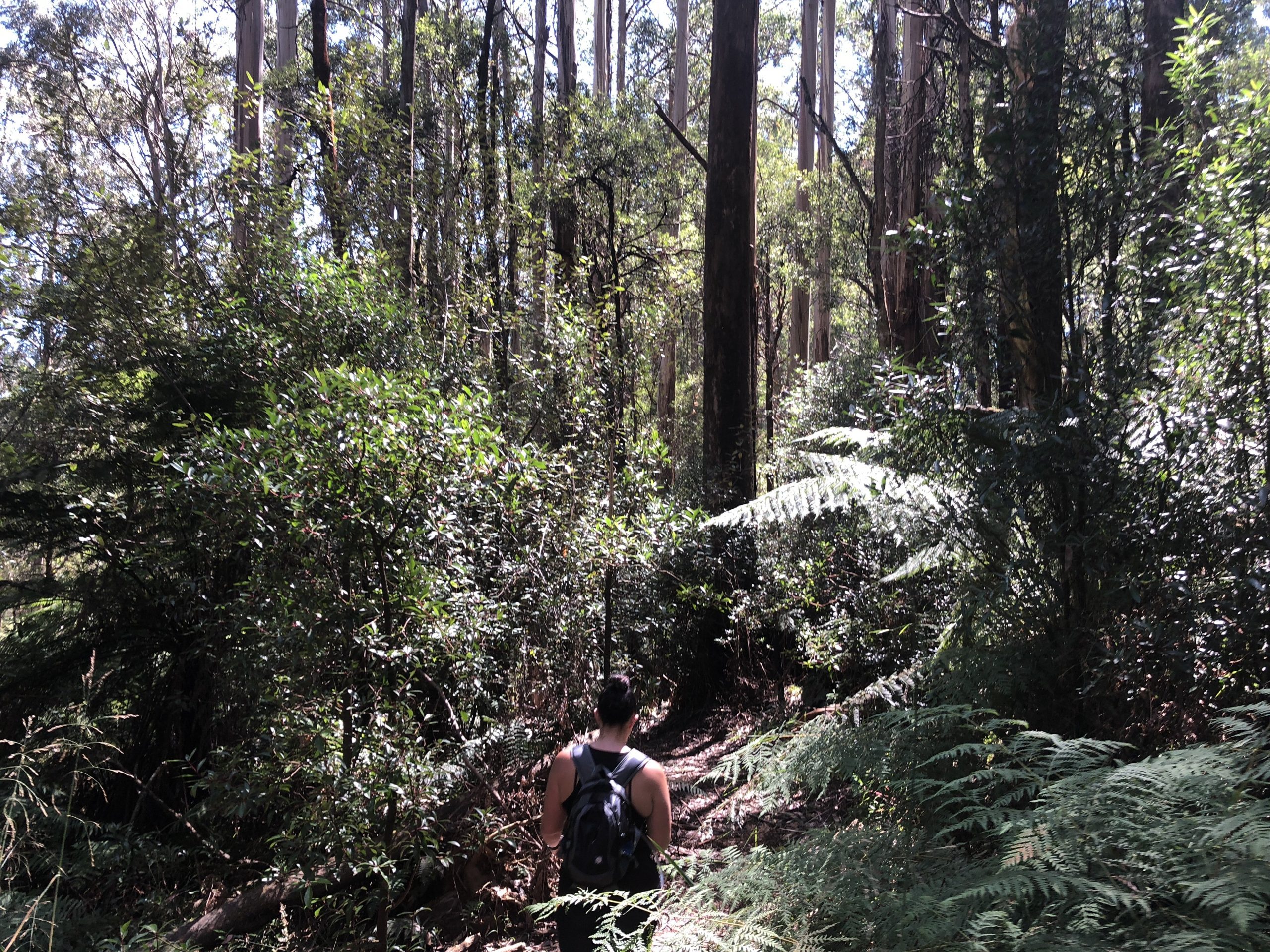
And by that, I mean well-formed, well-marked, and full of stunning Mountain Ash and Myrtle Beech trees.
There are two car parks you can start this hike from the Wirrawilla car park or the Monda Road car park at the southern end of the track.
For the purpose of this blog, I started this hike at Wirrawilla car park; which begins at Quarry Road.
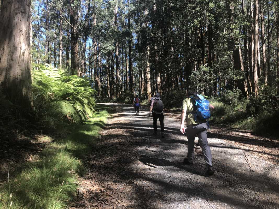
The first section of the hike is a gradual incline rising some 250m from the car park to the intersection at Monda Road. From here you can continue left for a short while and take another left to continue on your way to the Wirrawilla car park.
Alternatively, you can take a right and hike to the popular Mount St Leonard and its lookout tower.
Follow the metalled road to the nearby gate a few hundred metres and this will lead you to the track up to the top. Be warned – the hill to the top is on a steep incline and will definitely give your quads a serious workout.
Should you be so lucky to get a clear day while you’re up there, you’ll be able to get views of the western slopes of Mount Dandenong and the city of Melbourne. Other hikes in this area include the Mount St Leonard and Condons Track.
Head back down the mountain the same way you came and continue on the metalled road past the intersection you arrived at before.
A short distance from the intersection, the Monda Road car park is to the right, and the Tanglefoot Loop continues to the left. The rest of the track is much like the start as you weave your way down a formed track in amongst a dense forest.
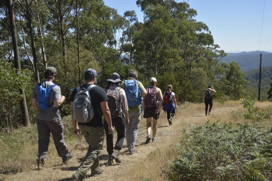
What I really like about the Tanglefoot Loop is the ability to add other tracks to it, such as the Mount St Leonard Track. Secondly, I think this track would be suitable for most people who have done a reasonable amount of hiking before.
If you were to include the Mount St Leonard track, I would recommend that you have at least done a fair amount of hill walking in the past before you attempt this version. As mentioned before, it is quite steep but the views at the top are worth it.
If you wish to follow the version of the Tanglefoot Loop that I ook, you can do so by downloading it here on WikiLoc.
The Stats – Tanglefoot Loop and Mount St Leonard
Length (km): 12.19kms (according to WikiLoc)
Time: 3hrs 41mins
Moving Time: 2hr 22mins
Difficulty: Easy-Moderate
Maximum Elevation: 1,030m
Accum. elev. uphill: 417m
Accum. elev. downhill: 417m
Return/Circuit/One Way: Loop
