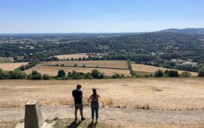
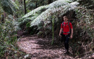
Despite the fact that I have driven past Lysterfield Lake Park just about a million times, I’ve never been there to go hiking. That has all since changed after I recently hiked the Dargon Track in the northern section of the park.
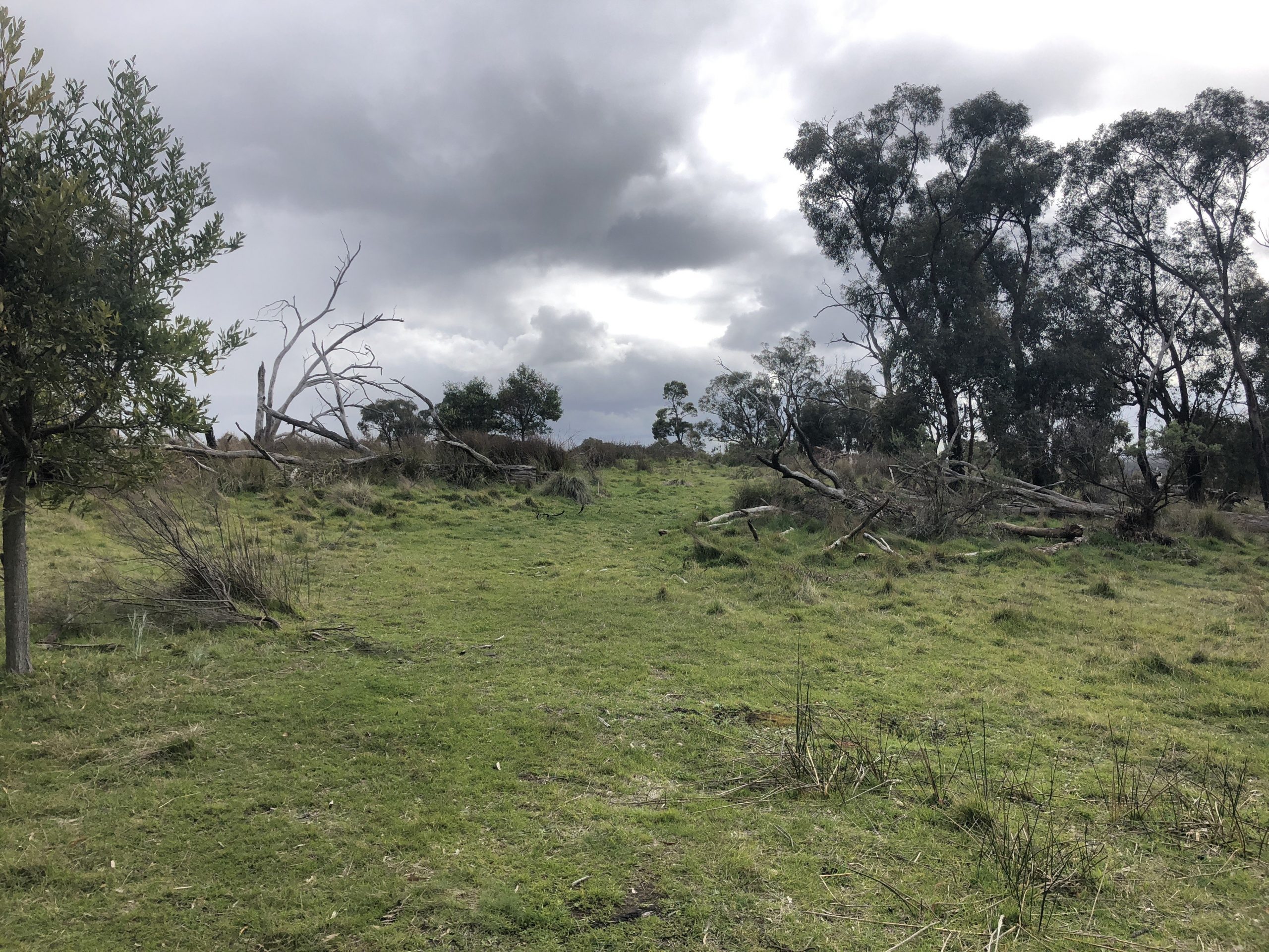
What really grabbed my attention roughly 5 minutes into this near-on 7km track was how it was everchanging.
And this continued pretty much the entire way around the park.
What I mean by that is that one minute the path was cutting through bushland and the next I found myself in open areas with views of the surrounding hills.
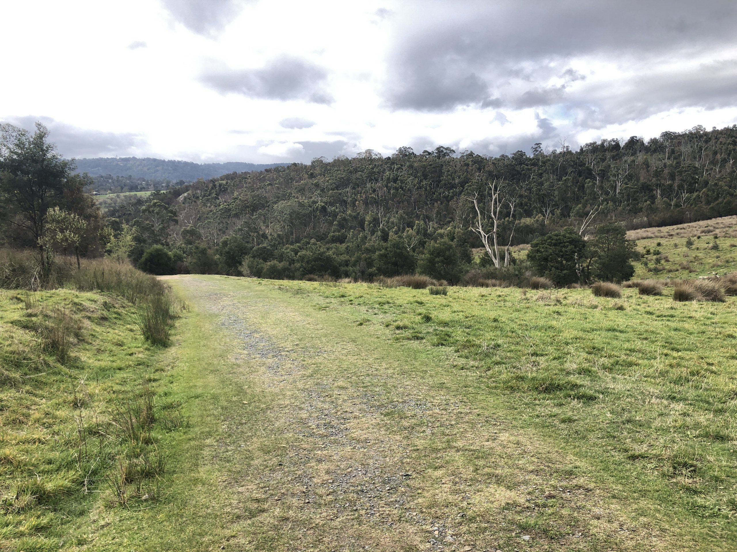
This certainly keeps things interesting and ensures that there are different things to look at rather than the same stuff over and again.
For the purpose of this hike, I started it at the southern end entrance located on Wellington Road, but you can access it from other points including Nixon Lane and Ryans Road.
While there were a few other trails in the middle of this section of the park, I decided to follow Dargon Track around the outskirts.
This track eventually ends and becomes Abraham’s Track which then merges into Gully Track as I made my way back to my car.
I think two other features of the Dargon Track that I really felt made this hike well worth it were:
- The track itself is incredibly well-formed
- A sign was located at every junction identifying each track that ran off it
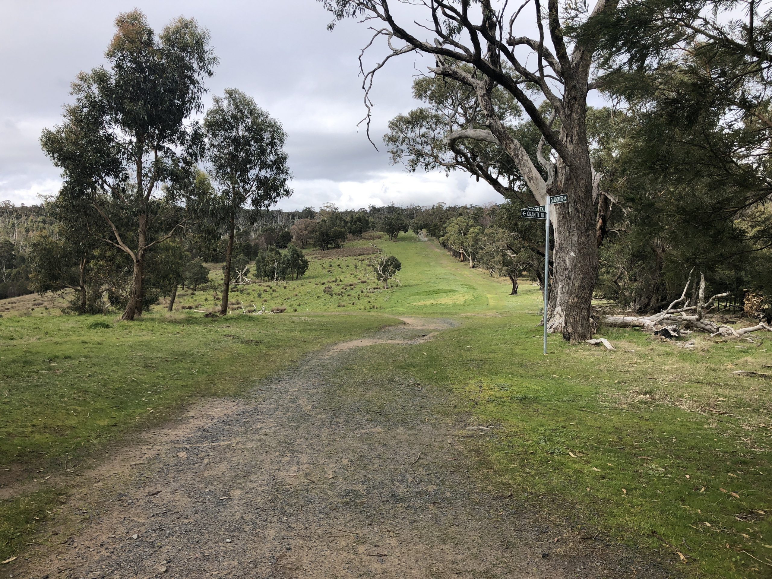
These two features in themselves, in my opinion, make this hike incredibly accessible to just about anyone.
Furthermore, although you are in suburbia, you still get that feeling that you are on a decent bushwalk; so, you’re really getting the best of both worlds.
There isn’t much in there by way of really difficult hills, but the hill rising from the junction at Abraham’s Track and Dargon Track in the northeast may catch you by surprise.
In saying that, it really isn’t all that difficult and should be doable for most people with a good base level of fitness much like the other hikes in the Lysterfield Lake area.
In closing, I would recommend this Grade 3 hike for almost everyone who a) has done a few hikes/walks before and b) has a good base level of fitness.
As previously mentioned, you have little to no obstacles in your way whatsoever, and given the distance, it should be doable by most.
As usual, if you wish to follow the recording of the Dargon Track in Lysterfield Lake Park via WikiLoc, you can download it here.
 The Stats – Dargon Track
Length (km): 6.86km (according to WikiLoc)
Time: 1hr 17mins
Moving Time: 1hr 5mins
Difficulty: Easy (Grade 3)
Maximum Elevation: 239m
Accum. elev. uphill: 177m
Accum. elev. downhill: 177m
Return/Circuit/One Way: Loop/Circuit
