Sometimes you needn’t travel too far from home for an adventure and this certainly rang true for me when I explored the Lysterfield Lake Circuit Trail in Melbourne’s outer east.
Lysterfield Lake itself is a fairly well-known, and often visited, location for a variety of activities including hiking, running, adventure racing, mountain bike riding, and swimming.
Accessible from a number of points around the park, its ideally located between the Dandenong Ranges and the Monash Freeway.
However, if you are looking to walk the 6km+ Lysterfield Lake Circuit Trail, your best option would be to access the park from the Horswood Road car park which also seems to be the main car park.
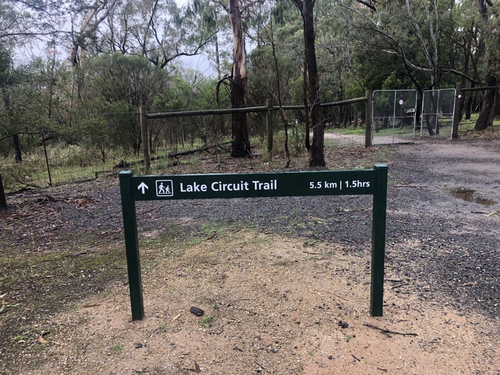
Like most circuits, you can do this trail in either direction but for the benefit of this blog, it was done in an anti-clockwise direction.
Starting from the well-signed gate at the northeast car park, follow this typical bushland trail as it basically hugs the edges of the lake.
You’ll notice along the way that there are little side paths that will lead you down to the lake itself; perfect for any photographer looking to take some wide-angle shots.
This will continue for some time before coming to a t-intersection where you’ll take a left heading south on the western side of the lake.
For those of you who might want to attempt this for the first time, but might not have the confidence to follow our usual step-by-step approach, you’ll be glad to know that at every kilometre there is a sign with the number 1 which indicates the Lake Trail.
So, all you have to do is keep an eye out for these signs and you can’t go wrong.
Continue heading south on the Casuarina Track where once again you’ll be able to get some special views of the lake, including a side path called South Break that will take you down onto a small pier.
For mine, this is the best spot – apart from the car park – to view the lake from.
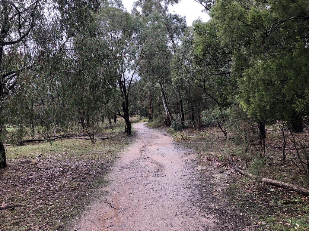
Returning back to Casuarina Track, keep heading south until you come to various intersections that will lead you to Snipe Track.
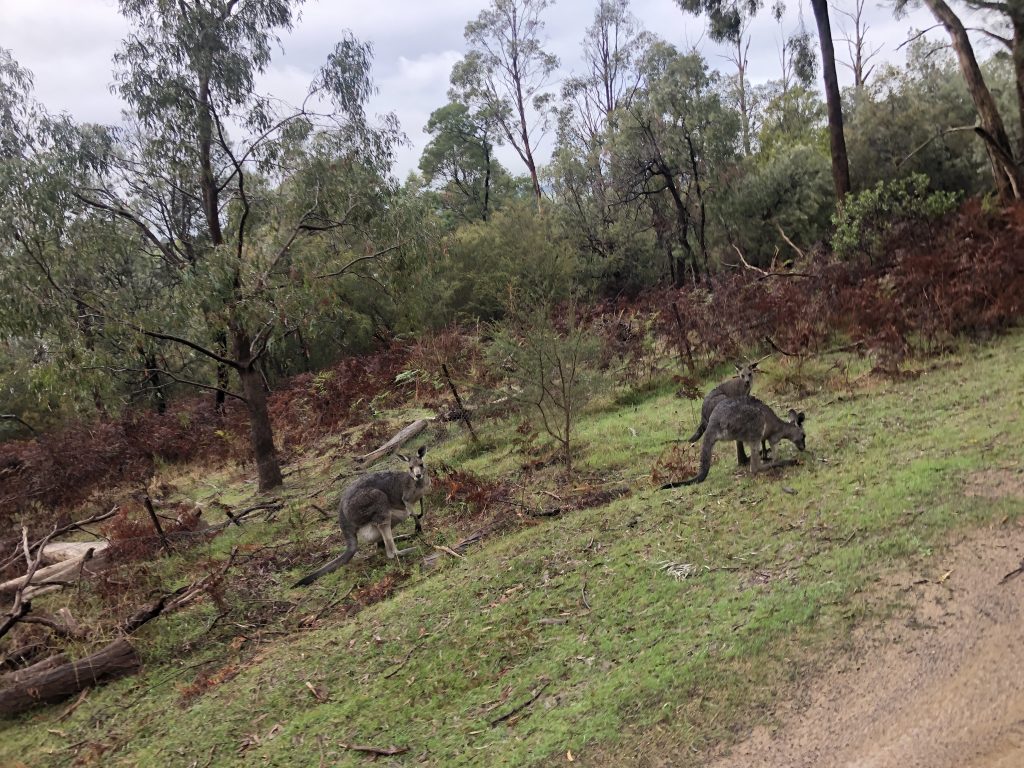
Without a doubt, one of the highlights of this track would have to be the several opportunities you’ll get to spot kangaroos.
If you’re parents of young children, or you’re keen to see some wildlife without having to travel far, you’ll have no problem doing that here and in various other places in the park.
Once you’ve hit Snipe Track, you’ll find yourself at the southern end of the lake and heading east across the dam wall and back to the main car park area where you started.
This is an incredibly easy and accessible walk that I would recommend for anyone regardless if you are a weekend wanderer, beginner hiker, or parents with kids who’d like something different than the local park.
Unfortunately, for dog owners, you may have to leave your dog at home as they are prohibited within the park.
As previously mentioned, the Lysterfield Lake Circuit Trail is well-formed, easy to follow, and has many vantage points where you can sweeping views of the lake and wider scenery.
As always, if you’re keen to follow my recording of the Lysterfield Lake Circuit Trail, and you have the app, you can download my WikiLoc trail here.
The Stats – Lysterfield Lake Circuit Trail
Length (km): 6.30km (according to WikiLoc)
Time: 2hrs 11mins
Moving Time: 1hr 16mins
Difficulty: Easy (Grade 3)
Maximum Elevation: 92m
Accum. elev. uphill: 50m
Accum. elev. downhill: 50m
Return/Circuit/One Way: Circuit
