Located not far from Calder Park in Victoria’s north-west, the Organ Pipes Trail has it all; especially for those with kids or those looking for a leisurely wander in the outdoors.
As you arrive at the car park from the Calder Freeway, it’s immediately clear that this area was built for convenience and accessibility.
With an information centre, ample car spots, a toilet block, a couple of picnic tables and a drinking tap all located at the trailhead, it makes it an ideal short walk.
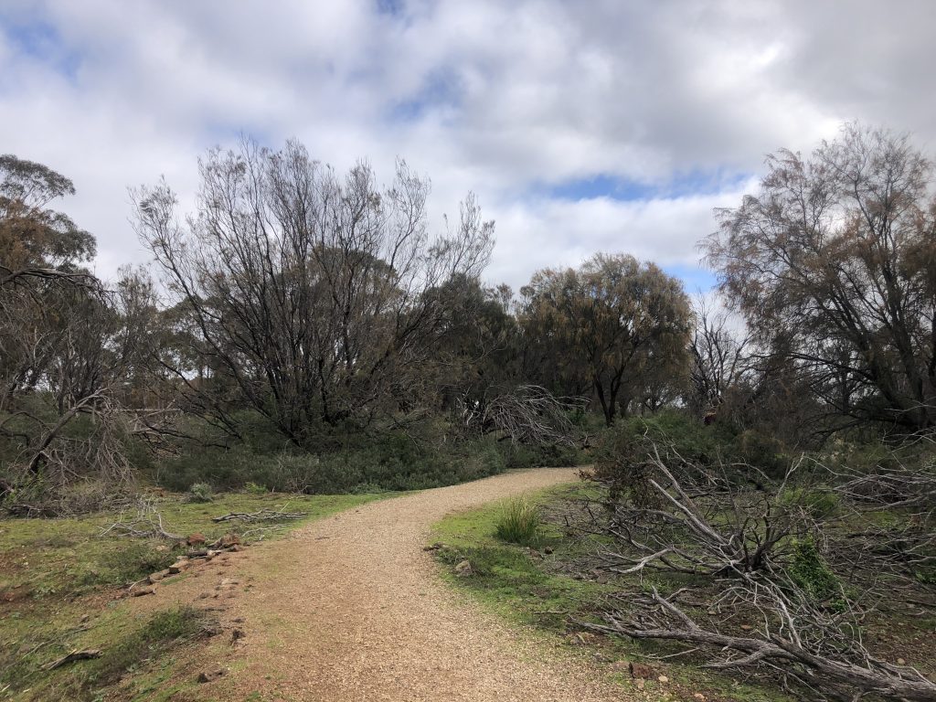
Furthermore, the frequency of signs littered along the path will reassure even the most frantic person who is worried about getting lost.
Now, you might be forgiven for thinking that the Organ Pipes Trail begins on the other side of the sheltered area of the information centre, but this dirt path essentially takes you back around to the car park.
This is where the dirt path meets a small section of bitumen and what I would deem is the official trailhead for the Organ Pipes Trail.
This steady descent towards Jackson Creek and the Organ Pipes themselves will shortly bring you to a crossroads section.
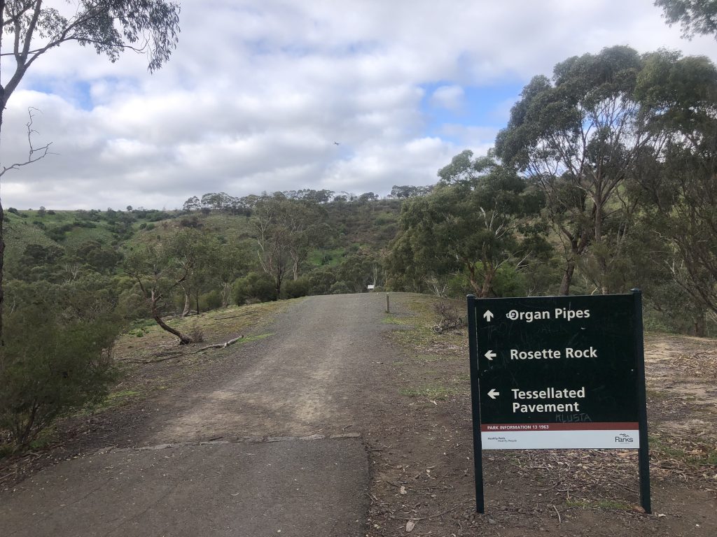
At this point, you can keep heading down into the viewing section of the Organ Pipes or you can take a left to Rosette Rock and the Tessellated Pavement.
Regardless of which option you take first, you’ll be able to see the alternatives as they’re all linked to one another.
We kept descending towards Jacksons Creek to get a glimpse of this volcanic rock formation I’d driven past so many times on my way to and from Mount Macedon.
Following on from the accessibility comment at the start of this blog, to your right you’ll notice yet another toilet block which has a water tank attached to it.
As you arrive at the bottom, there are several ways you can get to the Pipes so again it really doesn’t matter which way you go.
But how did the Organ Pipes form?
Good question.
It’s said that roughly one million years ago, lava flowed over the Keilor Plains from the nearby Mount Holden which filled the various valleys and solidified into basalt once it cooled.
Furthermore, it is believed that the lava filled a river valley running at right angles into Jackson Creek and once a surface crust had formed, the lava started to cool very slowly.
It was during this cooling period that the lava contracted and surface cracks began to appear.
As it continued to harden, the cracks began to lengthen until the basalt mass was split into columns.
Since the initial lava flow, Jacksons Creek has cut a deep valley through the basalt and thus the Organ Pipes came to be.
Despite the fact the entire walking track, including the section to Rosette Rock and Tessellated Pavement, is just over 2kms, you could spend several hours in the area.
As previously mentioned, you can continue on past the Pipes and wander upstream along the path to the small viewing platform looking out to Rosette Rock.
A large outcrop of basalt, it has these bizarre-looking streaks through it that resemble bike spokes.
And not far from here is the Tessellated Pavement; which is yet another geological rock formation along the banks of Jackson Creek.
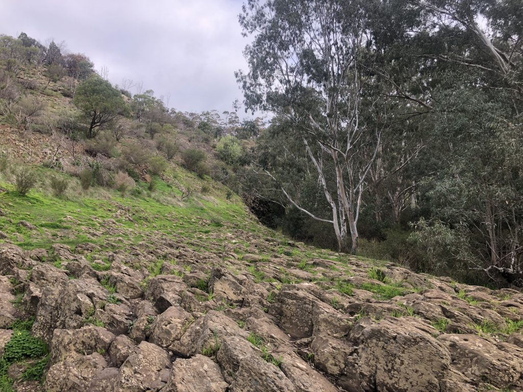
Personally, I didn’t find it as interesting as the other two highlights, but still interesting to look at regardless.
This is effectively a dead end, so you’ll need to turn back and then take a right up a short, steep section, and then another right which leads you back to the car park.
As mentioned at the start of this track blog, I would highly recommend this walk for parents with little kids and for those who want a nice, relaxing short walk in the outdoors.
I’d also say that if you’ve got the time on the way back from hiking the Mount Macedon Walking Trail, you should drop in and check out the Organ Pipes Trail too.
Complete with all the facilities you’ll need in the outdoors, a really well-formed and well-signed track, and a couple of really nice geological rock formations, the Organ Pipes Trail epitomises outdoor convenience.
One last thing worth noting – as you’re not far from Tullamarine Airport, you can guarantee a few planes regularly flying over your head at various stages.
As always, if you would like to follow or download my recording of the Organ Pipes Trail, and you have the Wikiloc app, you can do so here.
The Stats – Organ Pipes Trail
Length (km): 2.32kms (according to WikiLoc)
Time: 42 mins
Moving Time: 28 mins
Difficulty: Easy (Grade 2/3)
Maximum Elevation: 127m
Accum. elev. uphill: 65m
Accum. elev. downhill: 65m
Return/Circuit/One Way: Circuit
