A part of the Dandenong Ranges Circuit, and not to be confused with the Mount Dandenong Trail, the Western Slopes Hiking Track navigates its way around Mount Dandenong taking in some incredible views including the popular Burkes Lookout.
The first thing that stood out about this track from an accessibility point of view was the various trailheads—four to be precise.
These include the car parks at the end of Eyre Road and Osprey Road, the Kyeema parking spot, the Sky High car park, and the small car park on Ridge Road opposite Falls Road.
For this blog, we started our walk on this track at the car park opposite Falls Road and headed off in an anti-clockwise direction along Trig Track.
The path along this section, and indeed the entire walk, is well-formed but rocky in spots; particularly on the ascents and descents as we found out fairly quickly.
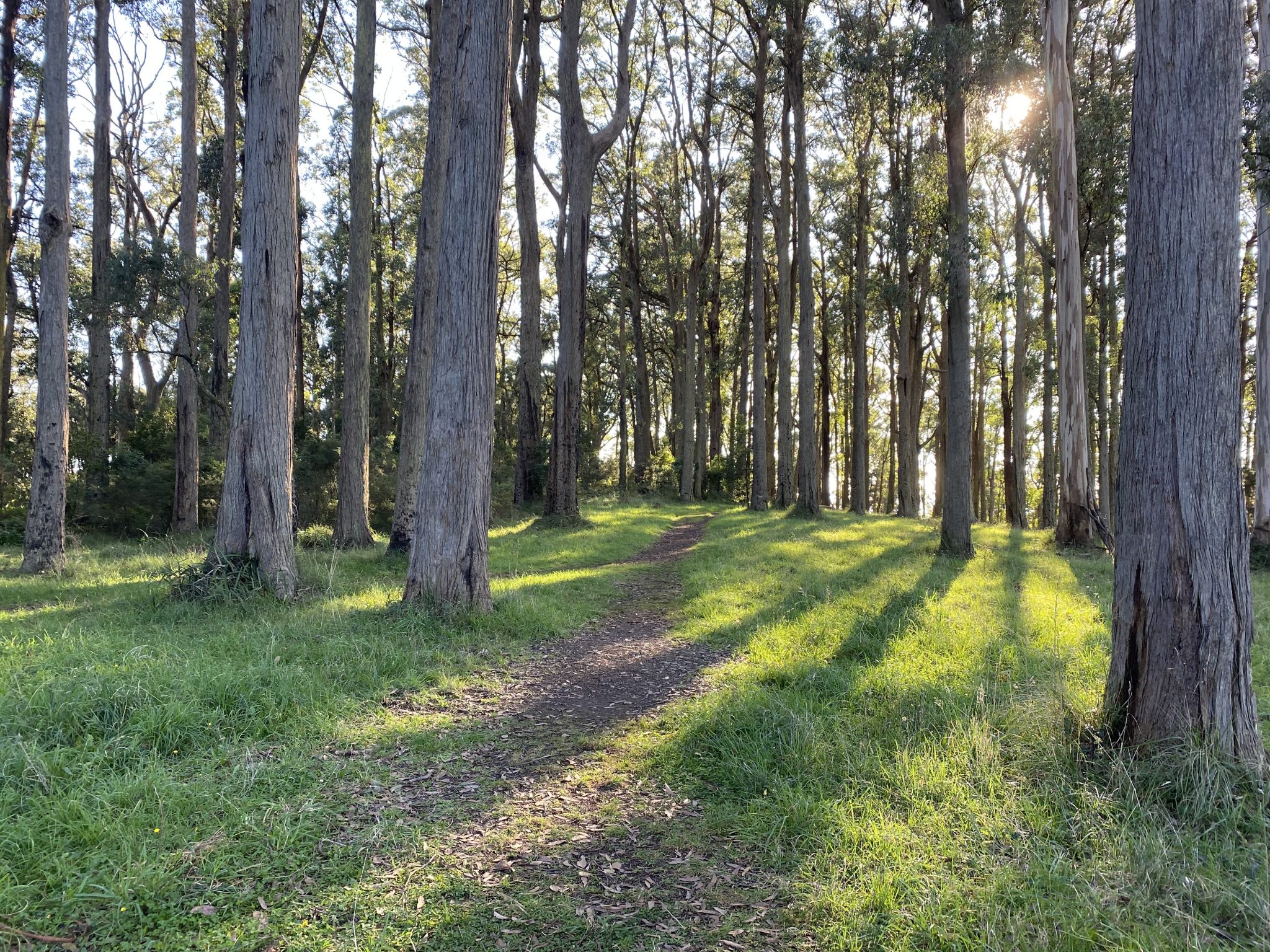
The first one only lasts momentarily as you find yourself back on flatter ground and heading towards Old Coach Road and then hard left into Old Mountain Road.
Old Mountain Road might look like a long, gravel driveway, making you think you’re in the wrong place.
But rest assured you are not and there’s a gate towards the bottom which you can pass around to continue on your way.
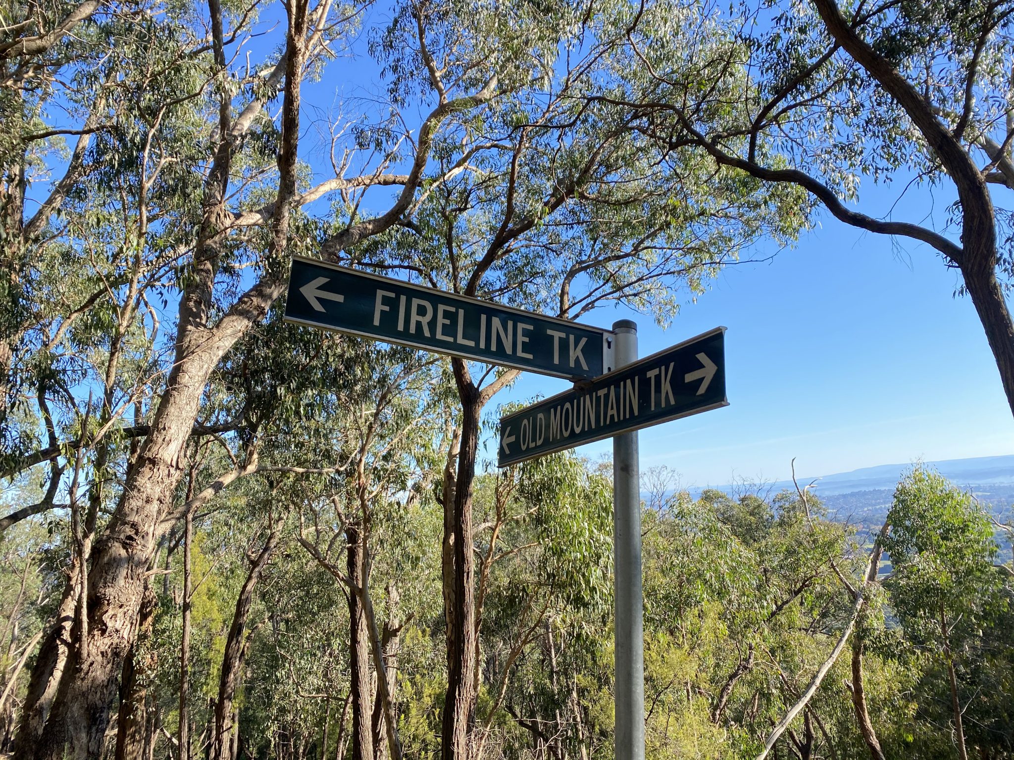
The first junction you will come to will be to head left up Fireline Track.
This, along with the upcoming Dacite Track, is probably the most challenging section of the entire Western Slopes Hiking Track on Mount Dandenong.
There are some reasonably steep sections here that will test your legs out but with a little persistence, you’ll be able to get through just fine.
It’s worth noting that most of the Fireline Track is the lowest point of the entire walk, so naturally, you’ll have to continue heading higher to get back up to Trig Track and back to your car.
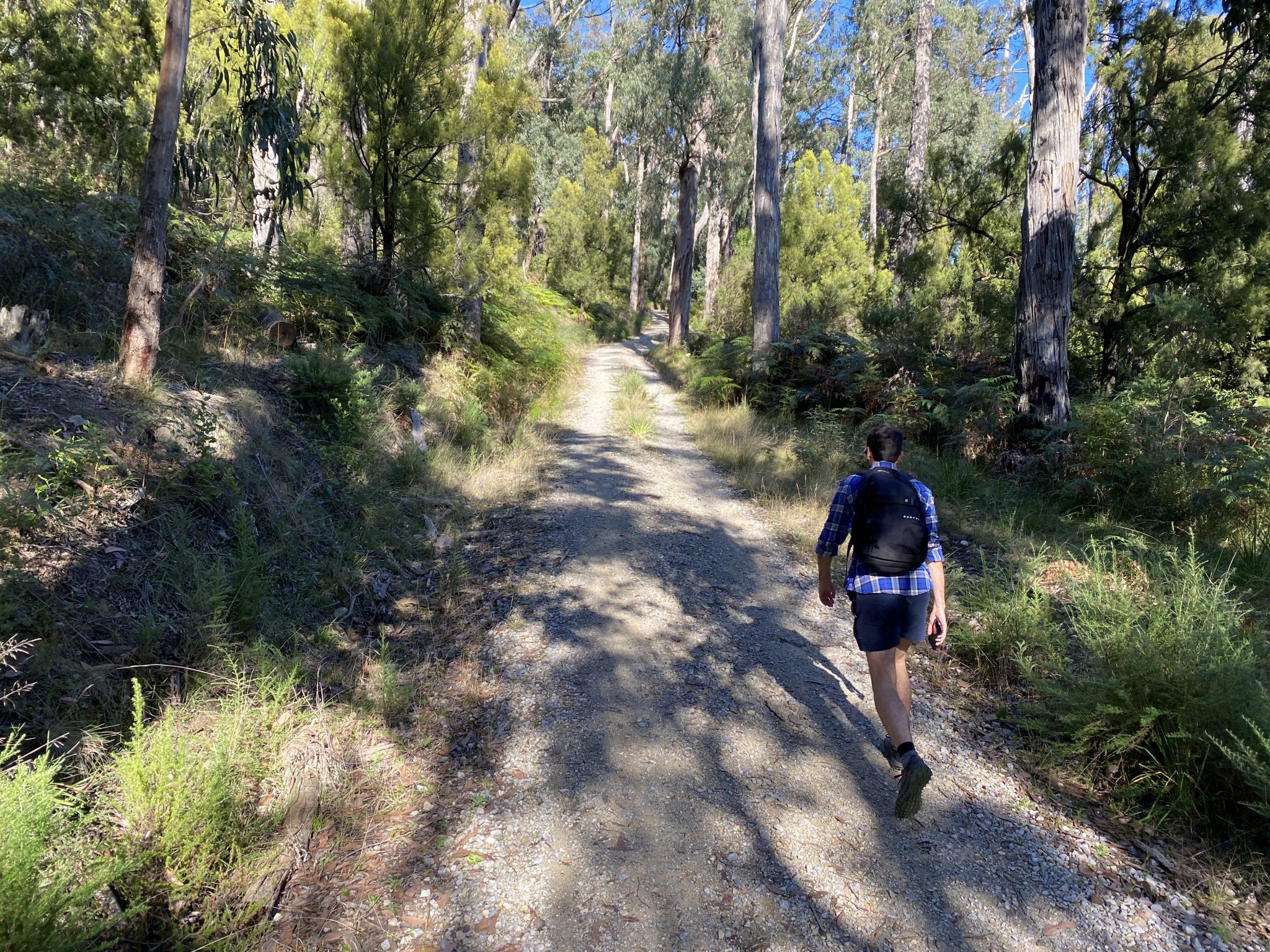
After roughly 2kms, you’ll find yourself at another junction where you’ll take a left onto Dacite Track and, after a short while, another left onto Zig Zag Track.
And yes, you guessed it, Zig Zag Track makes its way to the junction of Kyeema Track in a zig-zag.
One last little effort hiking up Kyeema Track will bring you back onto more stable ground and to the end of the most difficult part of the Western Slopes Hiking Track.
And as one difficult section ends, another really special section begins – Burkes Lookout – as well as the Mount Dandenong Summit.
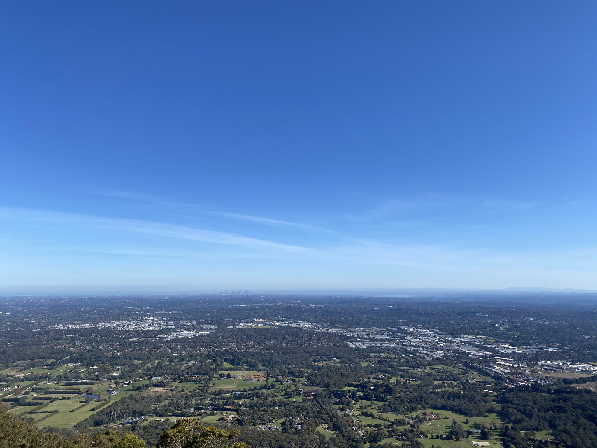
Twice as nice as the 1,000 Steps, but not nearly as crowded, Burkes Lookout offers spectacular views of the slopes of Mount Dandenong as well as the surrounding eastern suburbs.
On a clear day, you can also see into the city of Melbourne with ease from this point on the Western Slopes Hiking Track.
It’s a great spot to sit around, relax, and have something to eat after doing all the hard work from before. Treat it like your little reward!
It’s also a great spot for photography; especially for those of you who love chasing sunsets.
Once you’re done taking hundreds of photos and you’ve managed to relax a little, it’s time to continue heading on your way.
The next highlight of the walk is the Kyeema Memorial – the site of the “Kyeema” aeroplane crash that occurred in 1938.
The memorial was built in 1978 and there is an info board nearby that goes into further detail about the incident that killed everyone on board.
Further on down the track, there is a junction where you’ve got two options:
- You can continue back on Kyeema Track, which merges onto Trig Track at the junction, and then back to your car
- Or you can take a right at the junction and head up to Sky High for more views of the surrounding suburbs below.
We decided to keep on heading back to the car park which ended our hike for the day at about 9kms, but you’ll certainly add a few kilometres if you add in the side trip to Sky High.
All in all, the Western Slopes Hiking Track was a really wonderful walk in the Dandenong Ranges and one I would recommend everyone to do at least once.
Now, those hills I’ve described to you might be slightly off-putting (especially if you despise hills), but I promise you that they are doable and they won’t kill you.
Given you have Burkes Lookout waiting for you at the top (assuming you’ve walked it in an anti-clockwise direction), those hills will be worth the reward that awaits you.
As always, if you wish to follow my recording of the Western Slopes Hiking Track on WikiLoc, you can do so here.
The Stats – Western Slopes Hiking Track
Length (km): 8.98kms (according to WikiLoc)
Time: 2hr 16mins
Moving Time: 1hr 36mins
Difficulty: Moderate (Grade 3)
Maximum Elevation: 612m
Accum. elev. uphill: 414m
Accum. elev. downhill: 414m
Return/Loop/One Way: Loop
