As mentioned in one of my previous blogs, my first overnight hiking trip was on the Walk Into History Trail in Warburton.
It is listed as a 33km one-way hike that is ideally done over 2-3 days, however, I decided to turn it into a two-day circuit.
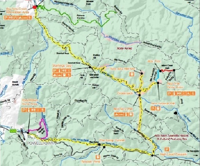
As you will see in the map below, I started the hike at Big Pats Creek and headed southeast for 9kms to Starlings Gap (typically 3.5 hours).
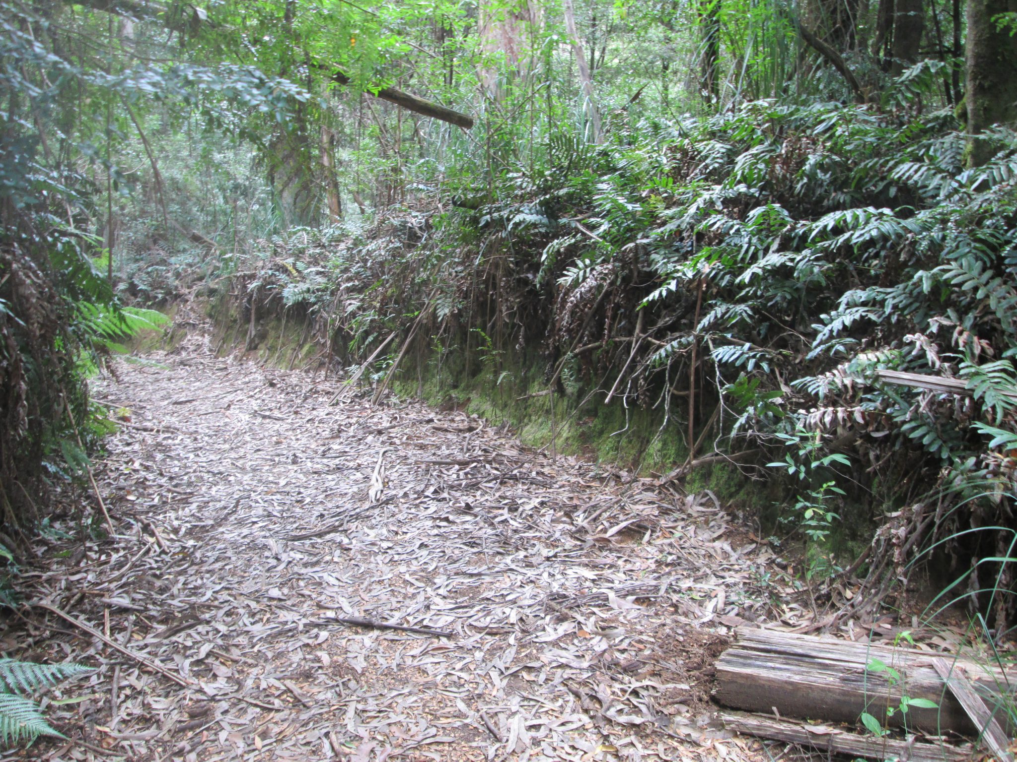
During the colder weather, the trail is known for its leeches so you will need to be wary of these if you happen to hike through during autumn or winter.
From Starlings Gap I made my way east to a place called the Crossroads.
From this intersection, you can head north to the New Ada Mill (2.8km return), or east to the Federal Mill (4.3km return) and Ada Tree (5.7km return), or continue the walk south to the Ada No.2 Mill.
I decided to take the trail east to the Federal Mill.
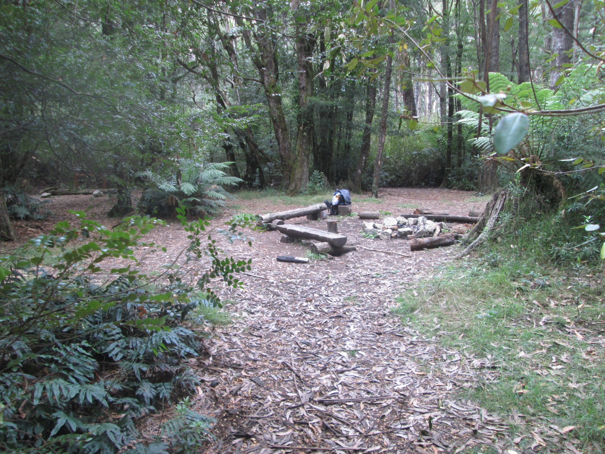
You follow a nice and easy path that opens up to a clearing where you can plonk your bag down and have some lunch.
It seems to be a regular spot for people to do that because there are sleepers set up for it.
I decided not to head to the Ada Tree or the Ada Tree Picnic Area as I knew I would be heading back that way the following day.
After lunch, I doubled back to the Crossroads and made my way south passing the Ada No. 2 Mill and onto the Highlead Carpark located on Yarra Junction-Noojee Road.
This part of the trail is described as difficult on the notes for the Yarra State Forest, but nothing can prepare you for just how difficult it is.
It’s a steep descent and drops 415 metres in 1600 metres, which is a grade of almost 1 in 4.
It was made that much harder for me as I was carrying quite a bit in my backpack on this trip which put a bit of pressure on my knees.
It wasn’t ideal, but I managed.
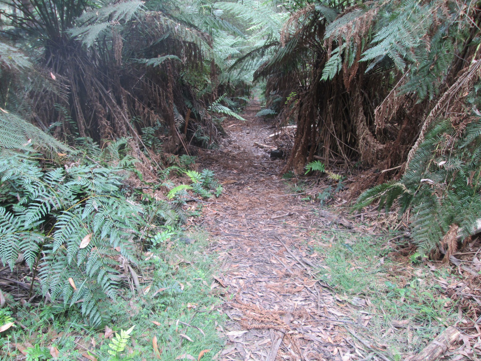
After the downhill section ended, the Walk Into History trail was relatively flat to the main road.
Now, from here you would usually head west and continue the designated Walk Into History trail.
The plan all along was to camp overnight and I was able to find a small camp spot when I began researching the area.
So, instead of hiking west, I went east for a while until I came to Ada River Road, turned left, and made camp at the Latrobe River Camping Area.
This is a quiet little camping spot that doesn’t appear to be used that often.
There is running water nearby so be sure to bring a filter or whatever you use to source water while out on the Walk Into History trail.
After experiencing during the night what I can only describe as the loudest storm I have ever heard, I woke the next to find debris all around the camp area.
No trees had fallen over, but there were plenty of sticks and tree bark around.
I broke camp at about 7:45am and kept on heading north on the Ada River Road where there happened to be a trail starting where the black dot is marked in the above map.
I assure you there is a trail there as you will see on the map I have included below.
This trail took me north where I navigated through more debris from the storm, dealing with a few leeches whilst also keeping myself from slipping over.
The trail looked as though it hadn’t been used in some time judging by the large logs and branches that covered it.
The end of this track took me to an unnamed road that led south to the Ada Tree Picnic Area. I stopped for some water and then took a trail that led me back to the Federal Mill where I stopped for lunch again.
From there it was fairly easy to find my way back to the car at Big Pats Creek Camping area as I was simply retracing my steps from the day before.
I probably could have tacked on an extra day with this hike and made it a little easier on my body. In saying that, it was very enjoyable.
If you ever want to do the Walk Into History trail, please feel free to get in touch with me if you have any questions about any section of the trail. I’d be only too happy to help.
Note – I’ve updated this blog to include the two recorded tracks via my WikiLoc page:
Big Pats Creek to Latrobe River Camp Ground
Latrobe River Camp Ground to Big Pats Creek
The Stats – Walk Into History Trail
Length (km): 58kms
Time: 19 hours (over two days)
Difficulty: Moderate/Difficult
Return/Circuit/One Way: Circuit (start/end at Big Pats Creek)
Location: Yarra State Forest, Warburton
