Located in the far southeast region of Melbourne and near the town of Gembrook lies the Bunyip State Park.
Similar to many forests and hiking areas in those parts of the state, it is full of mountain ash trees and plenty of wildlife.
Furthermore, there are many trails located in the Bunyip State Park where you could spend several days hiking them that don’t include the popular Four Brothers Rocks Track.
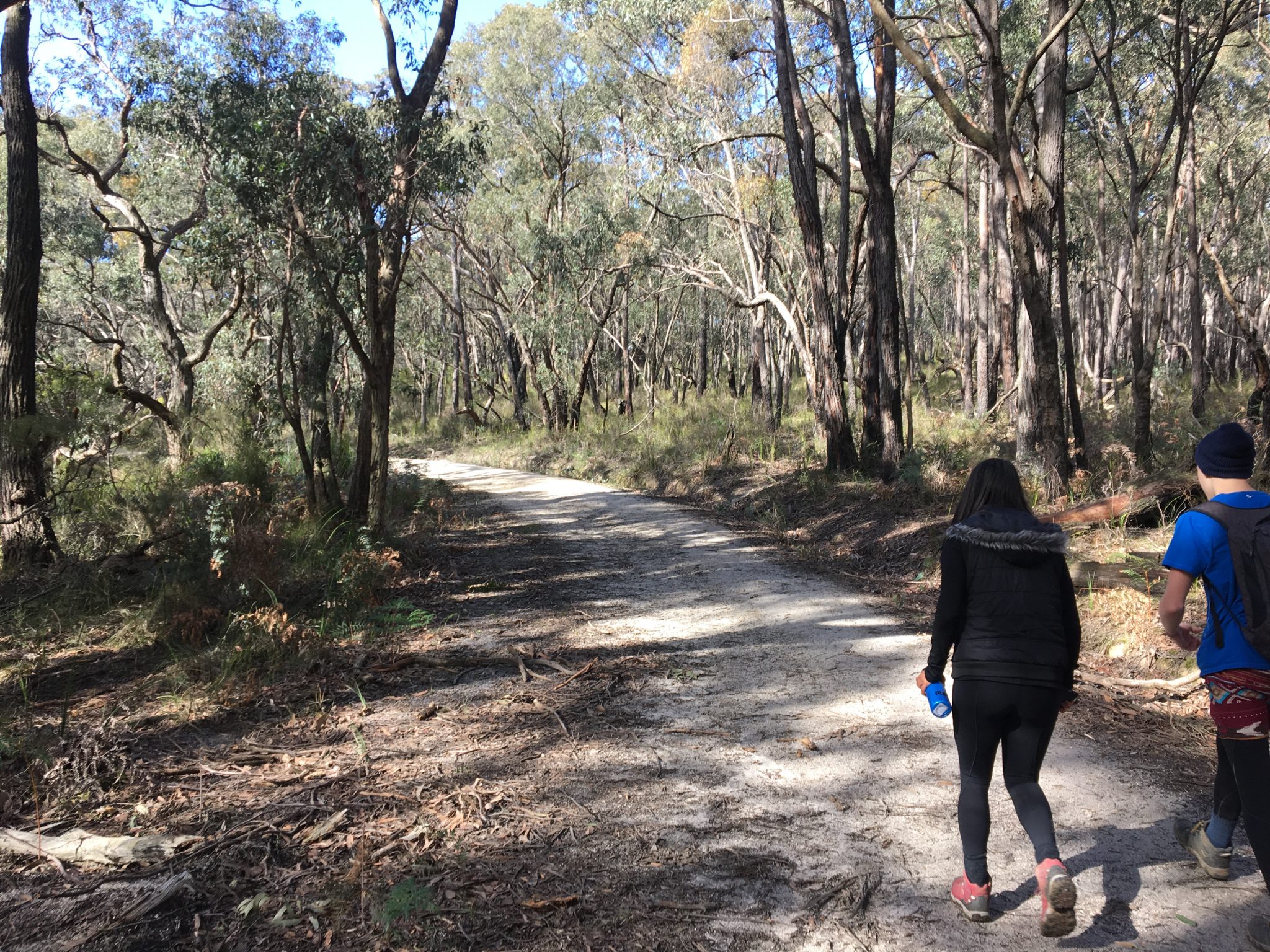
Further to that point, by connecting these trails you can pretty much create your own – which is exactly what I’ve done here with the Bunyip State Park Southern Circuit.
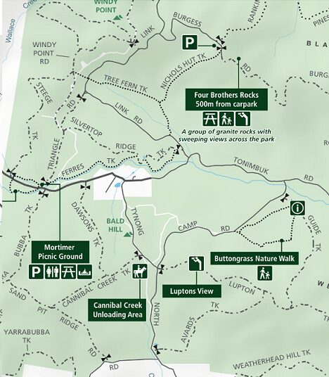
Starting from the popular Mortimer Picnic ground – a home base for campers and hikers alike – this near-on 16km hike is made up of a number of trails.
You’ll start off by crossing the Gembrook-Tonimbuk road into the southern section of the park and head south on what’s known as Yarra Bubba Track, turning left onto Sand Pit Ridge Track, and left on Pooley Road.
Walking this section for a short time, you’ll come to what’s known as North Road taking a left momentarily and then a right into Avards Track.
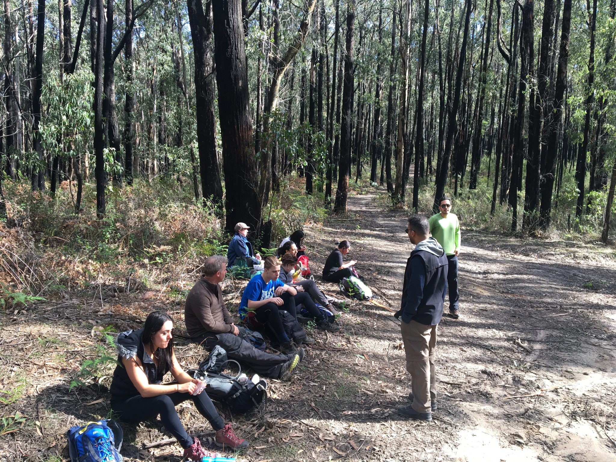
You’ll wander through some more Mountain Ash on Avards Track where you’ll approach a t-intersection which is an ideal spot for lunch.
Continuing on the trail turning right onto Lupton for a brief period and then ascend & descend Guide’s Track until you finally make it out onto the main road.
From here, follow the main road back to Mortimer Picnic Ground and you’re done!
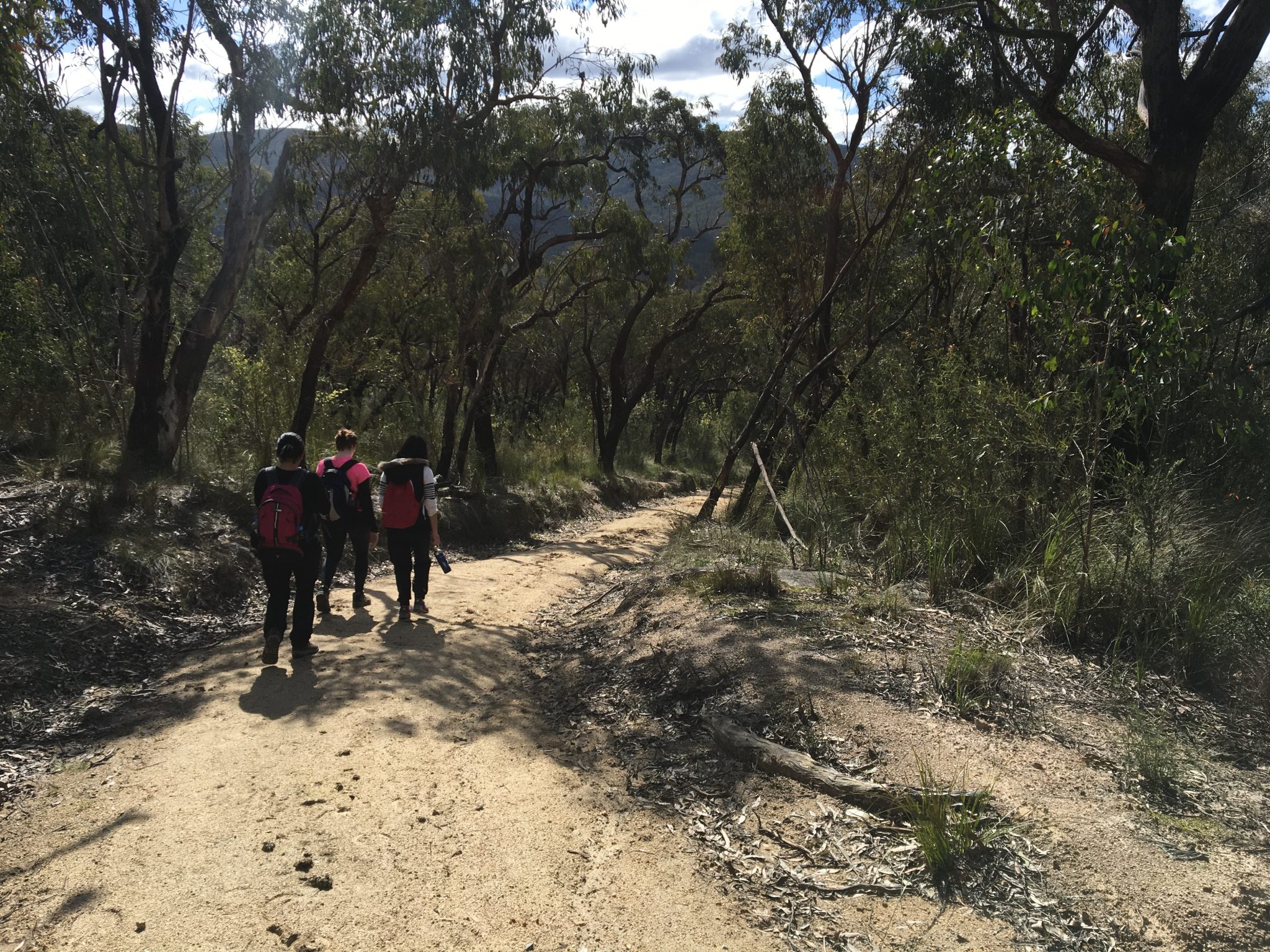
As the Bunyip State Park Southern Circuit isn’t an official trail, you’ll need to take a map of the area with you to ensure you are going the correct way.
It is reasonably well-signed but it’s always good to have safety measures in place to ensure you are following the correct path.
Ideally, this hike should take you approximately 4 hours to complete but this will largely depend on your walking pace and how many breaks you take.
I’d probably recommend this to those of you who are experienced bushwalkers and are confident in reading a map.
If you are neither – that’s okay!
There are plenty of other hikes in the area for you to do that start and finish at Mortimer Picnic Ground much as this one does.
For info on the hike itself, please check out my WikiLoc entry here.
The Stats – Bunyip State Park: Southern Circuit
 Length (km): 15.9kms (according to WikiLoc)
Time: 3hrs and 52mins (moving time of 3hrs and 30mins)
Average Speed: 4.09 km/h
Difficulty: Moderate (Grade 3)
Return/Circuit/One Way: Circuit
Location: Bunyip State Park, Melbourne
Maximum elevation: 316m (according to WikiLoc)
