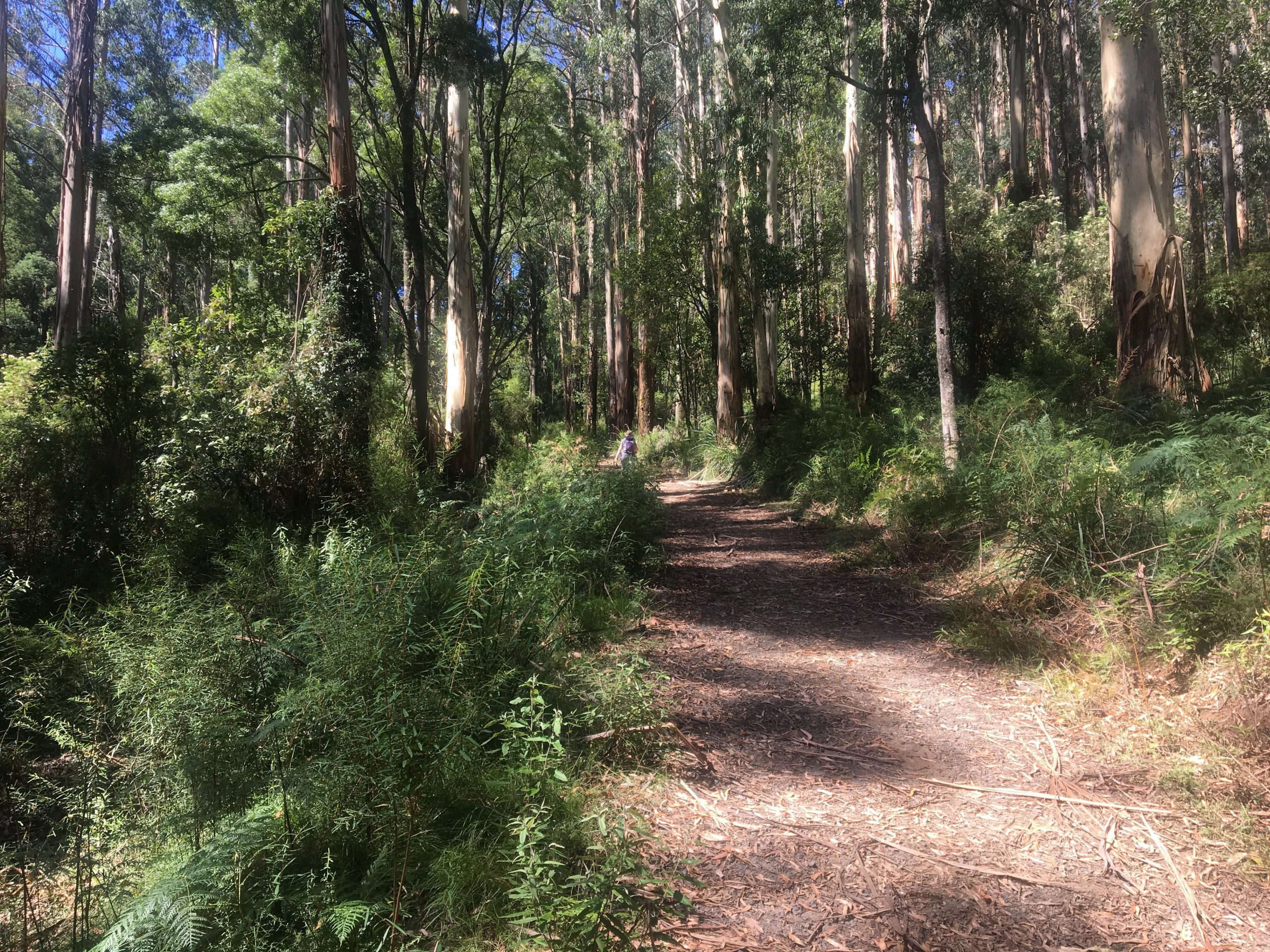
Located not too far from the popular town of Belgrave in Victoria, the Eastern Sherbrooke Forest Walk is situated in the heart of the Dandenong Ranges National Park.
This near-on 7km walk can start from several locations, including the popular Grants Picnic Ground; which is where most people start this hike from.
Alternatively, you can park at Belgrave Station and walk under the overpass and past the Puffing Billy train station.
This will bring you to the beginning of the Welch Track.
Beginning at Grants Picnic Ground, I made my way south through the car park and onto Coles Ridge Track.
This section is roughly 2kms and is largely flat the entire way until it descends onto Welch Track.
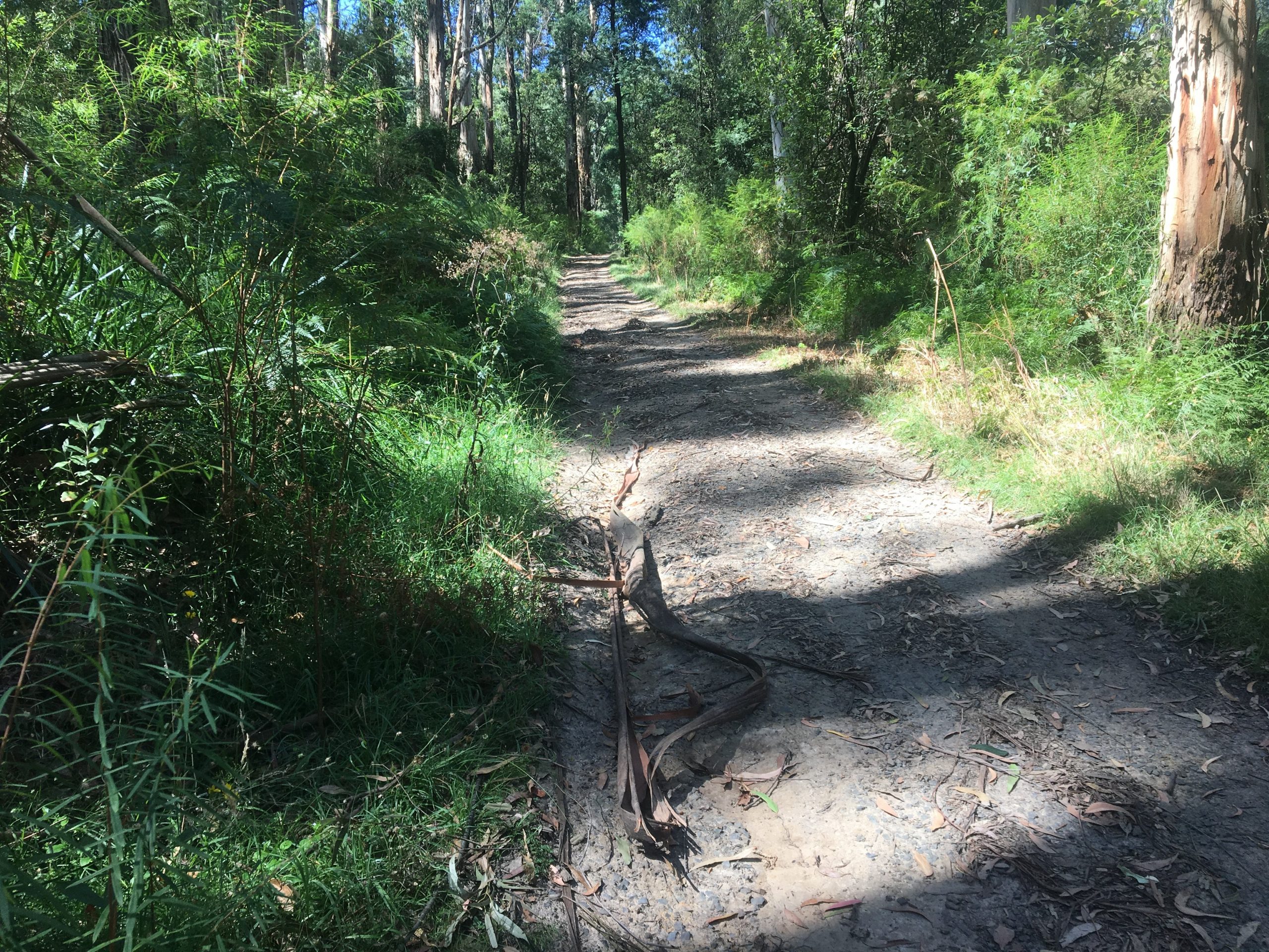
From here, you continue to descend the track into a relatively shady forest area. Take your time on this section as you can easily slip over.
Continue to follow the path until you come to a t-intersection which is the beginning of Paddy Track.
This is where the fun really begins; particularly if you enjoy hills.
A majority of the Paddy Track is uphill and is very steep; thus it will slow you down quite a bit if you aren’t used to hills.
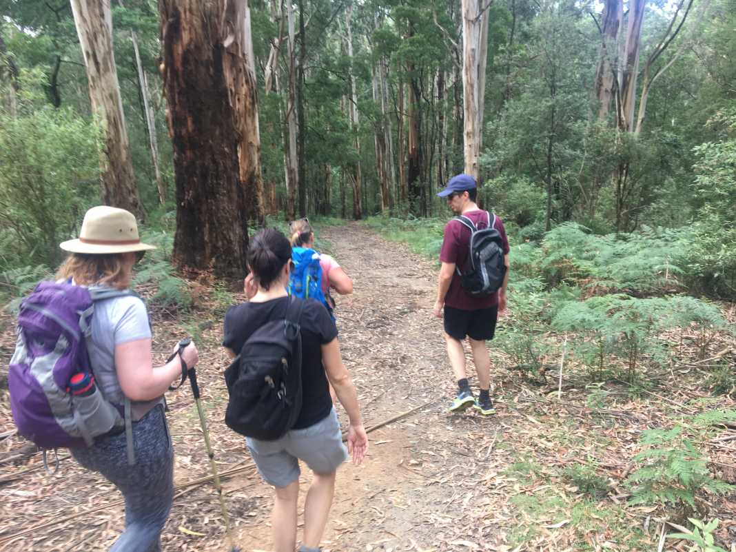
In saying that, once you’re at the top, and back on flatter terrain, you can’t help but feel like you’ve achieved something pretty decent.
Continue on Paddy Track until you come to another t-intersection where Neumann Track begins at the gate.
After a short while, there is an entrance to an open field where you can plonk yourself down underneath a tree for an extended break or some lunch.
If not, continue on Neumann Track as it makes its way down and over a bridge through some shady forest area.
Eventually, you’ll find yourself at the t-intersection of the Lyrebird Walk where it’s 500m back to the Grants Picnic Ground car park and cafe.
The Eastern Sherbrooke Forest Walk would be suitable for most hikers and walkers who are either beginners or slightly beyond it.
The Paddy Track hill aside, it is a relatively easy hike and includes terrain that is typical of what can be found in the Dandenong Ranges.
What I mean by that is rainforests, wide paths, tall Mountain Ash trees, and plenty of wildlife such as wallabies and lyrebirds.
If you would like to follow the same way we did the Eastern Sherbrooke Forest Walk, you can do so by downloading it from WikiLoc here.
The Stats – Eastern Sherbrooke Forest Walk
Length (km): 6.65km (according to WikiLoc)
Time: 1hr 54 mins
Moving Time: 1hr 40 mins
Average Speed: 3.49 km/h
Difficulty: Easy-moderate
Maximum Elevation: 382m
Accum. elev. uphill: 210m
Accum. elev. downhill: 210m
Return/Circuit/One Way: Circuit
