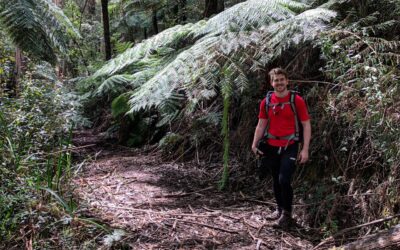
Located in the northeast section of the Bunyip State Park, the Freemans Mill Walking Track is a 14km return hike that includes a large campground at the halfway mark.
Starting at the Aqueduct Track at the makeshift car park under the power lines, head north for a kilometre until you come to a sign heading east on Freeman’s Mill Walking Track.
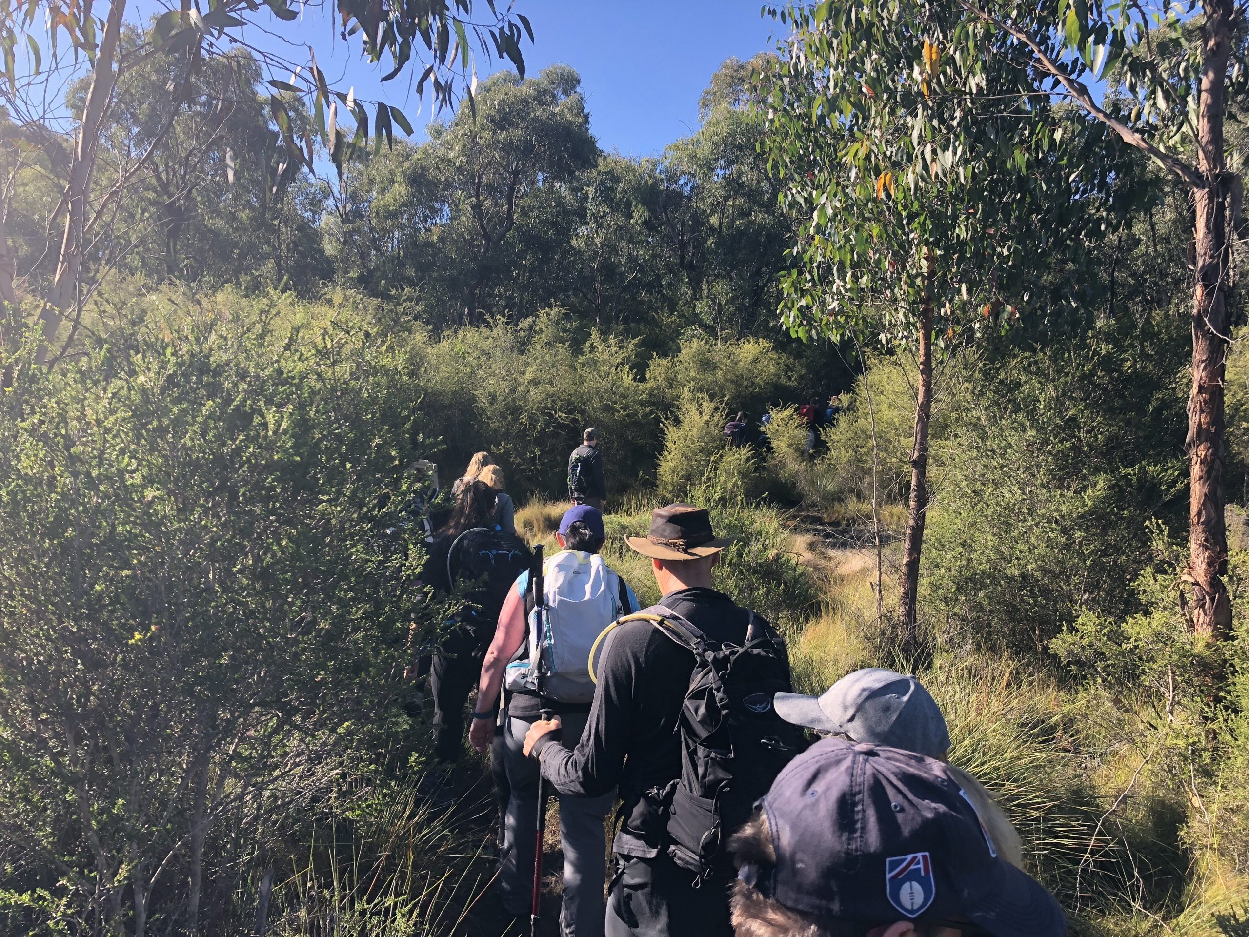
The next six kilometres follow an extremely well-formed track through to Freeman’s Mill Campground.
More recently, a short boardwalk was installed along a short marshy section making it much easier to make your way through the track.
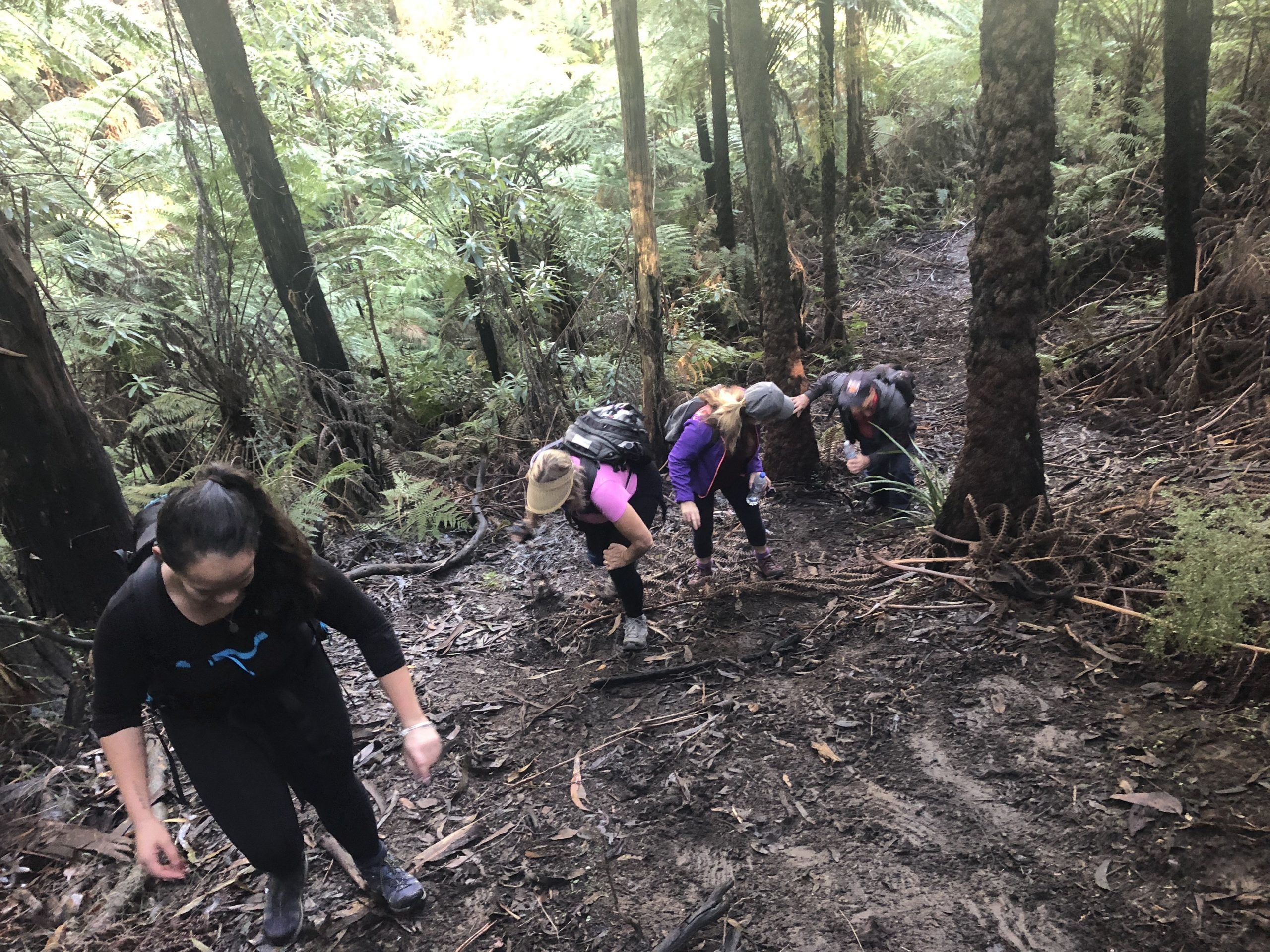
Despite the fact that it is well-formed, the track can be muddy in places which means it’s going to be slippery underfoot.
So, make sure you’re wearing some sturdy shoes with a strong grip if you are planning on doing this hike.
Furthermore, there are a couple of sections where it gets reasonably steep; especially in one particular section.
After you’ve completed this hill, it’s mostly downhill until Freemans Mill Campground.
You’ll know you’re almost there as there is a makeshift bridge several metres from the entrance to the campground.
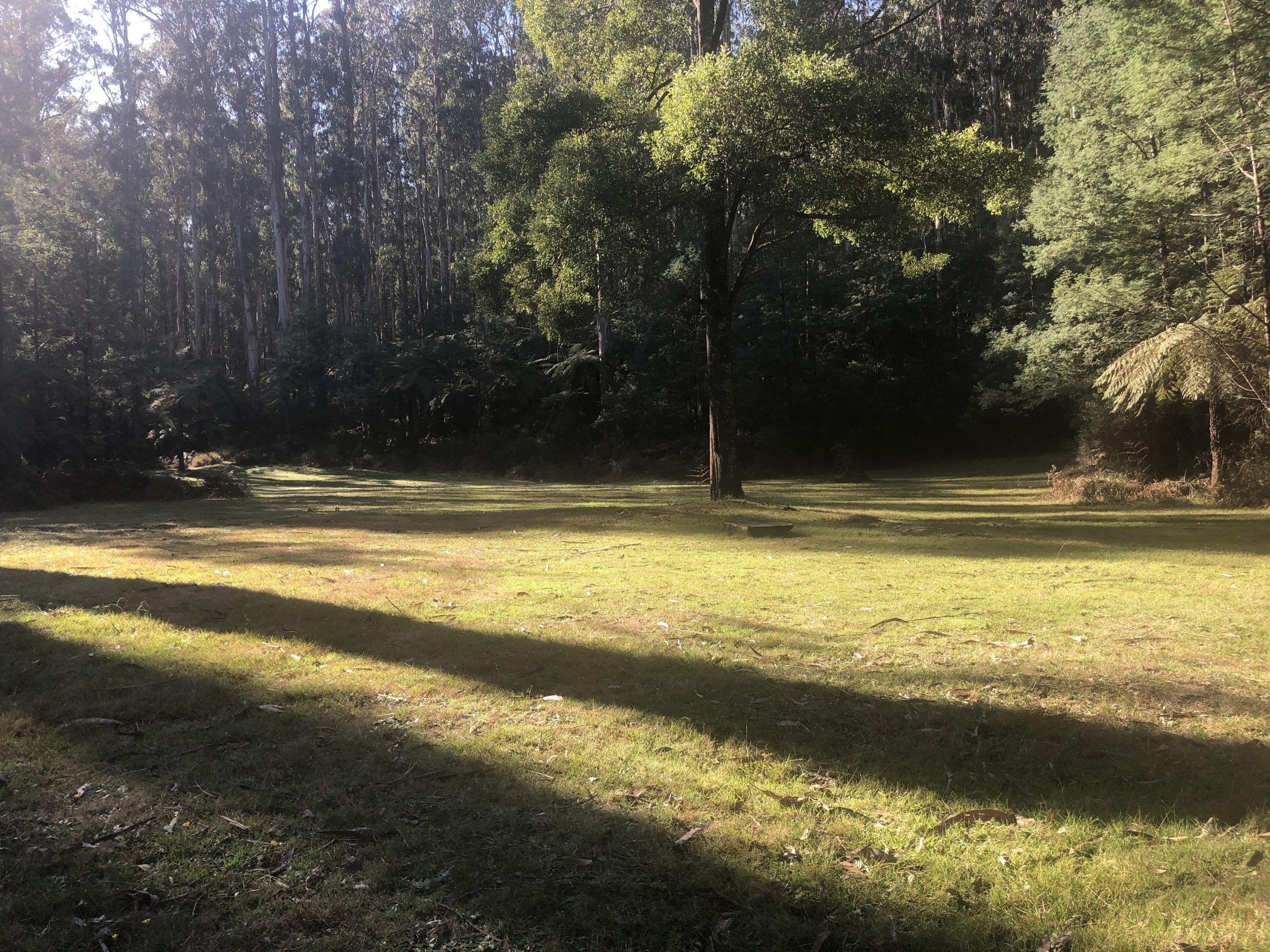
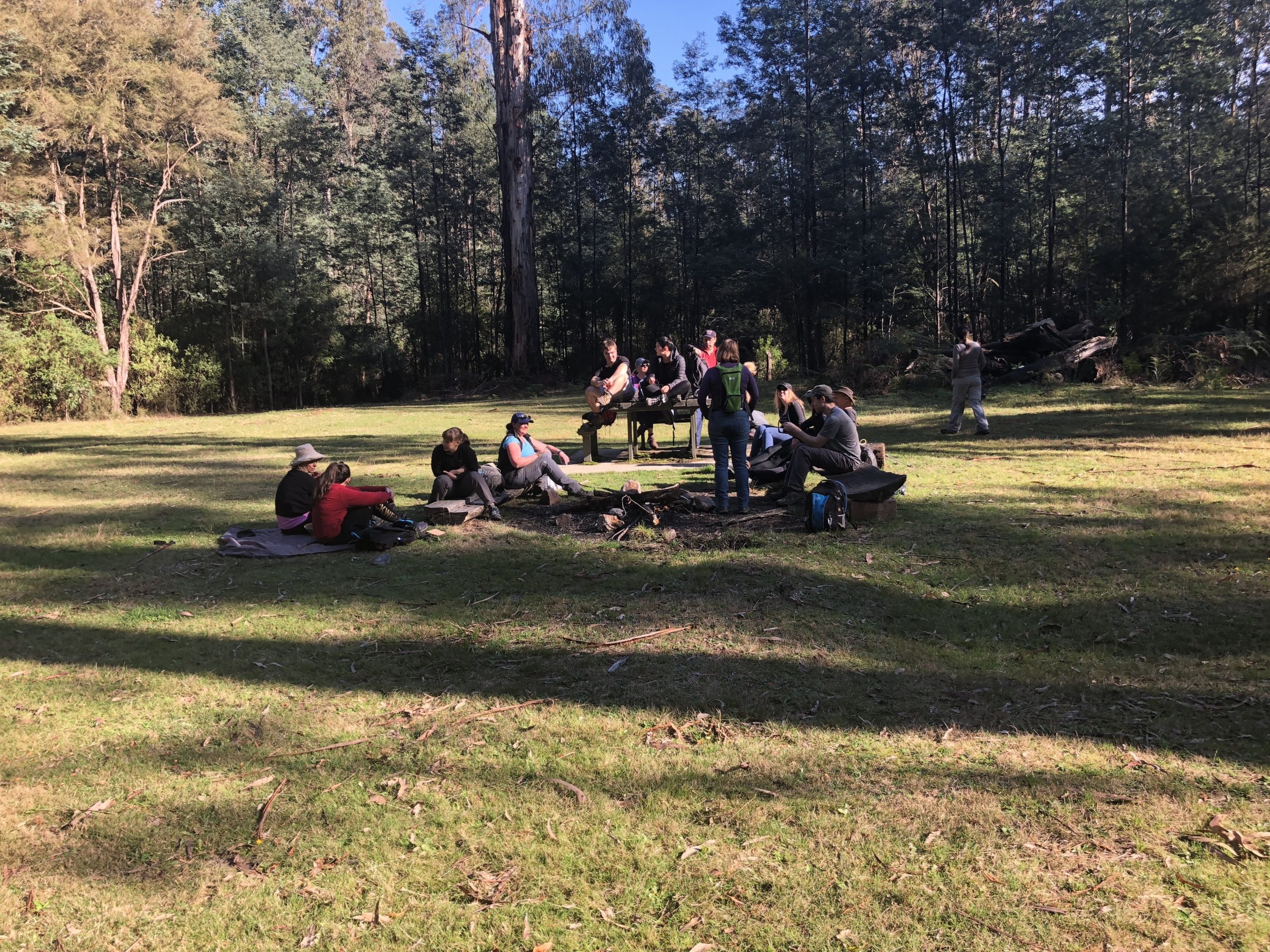
Aside from the popular Mortimer Picnic Ground in the southwest section of the forest, this campground would have to be the biggest one in the area.
While there are no drop toilets or similar in the campground, there is certainly plenty of room for several large groups to stay there such is the size of the area.
It’s worth noting that you’re only able to access the campground on foot as there is no public access for cars.
Lastly, there is a picnic table available as well as a small area where you can build a fire.
In closing, the Freemans Mill Walking Track was a great walk for many reasons but most of all because I had absolutely no idea what I was in for when I planned this hike.
Despite the fact that it’s not an overly long hike, it is located in quite a picturesque section of the Bunyip State Park which makes it a must-do for those looking for a hike where they don’t have to think too much.
I would probably rate this as a Grade 3 hike because:
- It’s a well-formed and, surprisingly, a well-signed track
- It’s not overly difficult
I would recommend the Freemans Mill Walking Track for anyone who has a good fitness base and is okay with hiking the odd hill or two.
You really don’t have to think too much with this one which makes it a great option for beginner and experienced hikers alike. Furthermore, it makes for a great alternative to the ever-popular Four Brothers Rock Walking Track.
Getting There – Freemans Mill Walking Track
If you are coming from Melbourne, take the M1 get off on the Sand Road exit and take a right at Princes Way. Shortly afterward you will need to take a left at Labertouche Road.
Follow this road for some time (it will become Labertouche North Road) until you can take a left at Bunyip River Road.
Keep following this road for a short while and you will come to a t-intersection at the Aqueduct Track. Take a right at this intersection and the make-shift car park will be in front of you.
As always, if you have the WikiLoc nav app, and wish to follow/download this track, you can do so here.
The Stats – Freemans Mill Walking Track, Bunyip State Park
Length (km): 13.48kms (according to WikiLoc)
Time: 4hrs 15mins
Moving Time: 2hr 39mins
Difficulty: Moderate (Grade 3)
Maximum Elevation: 240m
Accum. elev. uphill: 286m
Accum. elev. downhill: 286m
Return/Circuit/One Way: Return
