Very much an adventure location on the rise, there is so much hiking in Warburton to be done that we thought we’d collate them together into this handy adventurers guide.
Whether you’re a beginner hiker or someone who likes a challenge, there is something for everyone in this adventurer’s guide.
But before we get into the trails, let me tell you a little about the town of Warburton itself.
Located in the Upper Yarra Valley region, Warburton was once a thriving centre for timber & gold mining and was the home of Weetbix.
And despite the many hiking trails in the area, it is also an adventure haven for bike riders as it features the Lilydale-Warburton Rail Trail.
Overall, it is such an accessible town for all sorts of activities regardless if you’re coming up for the day or looking for a weekend getaway.
La La Falls Return
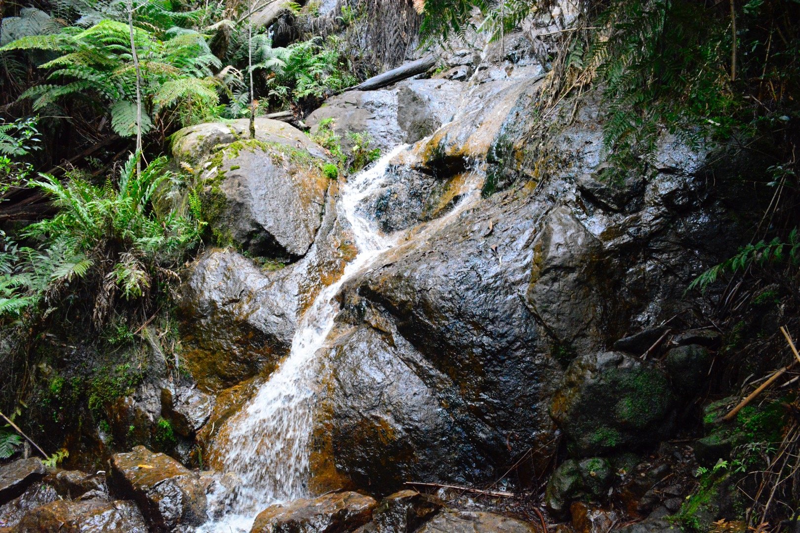
A highlight of the easier hiking trails in Warburton, the La La Falls return trail is a 3.5 km meander through some beautiful forest area arriving at a stunning little waterfall.
Only a few minutes drive from town, it’s one of those walks that you feel so far away from everything despite its proximity to Warburton.
An ideal hiking trail in Warburton on a hot day, the small La La Falls is a perfect place to cool off before heading back to your car.
As it is one of the easier hikes to do, it’s very much suited for weekend wanderers, beginner hikers and parents with little children due to its easy-to-follow trail and beautiful scenery.
Start and Finish: La La Falls car park on Iruka Road.
Redwood Forest
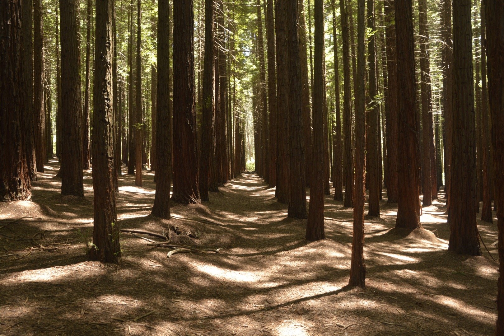
Despite the excessive crowds that you’ll almost certainly come across when visiting here, the Redwood Forest remains the jewel in the Warburton crown.
Planted approximately in 1930 by the then Board of Works, the Redwood Forest has a plantation of a staggering 1476 trees ranging from 20 metres to 55 metres tall.
Furthermore, they were planted in a grid formation which just adds to the beauty of the place.
Whilst there is very little hiking to do through here, except for a small trail running parallel with the nearby Cement Creek, it’s still a magical place to visit.
I’ve been here roughly 15 times now and I’m always blown by how impressive these trees are.
Start and Finish: Redwood Forest Car Park, East Warburton.
Rainforest Gallery
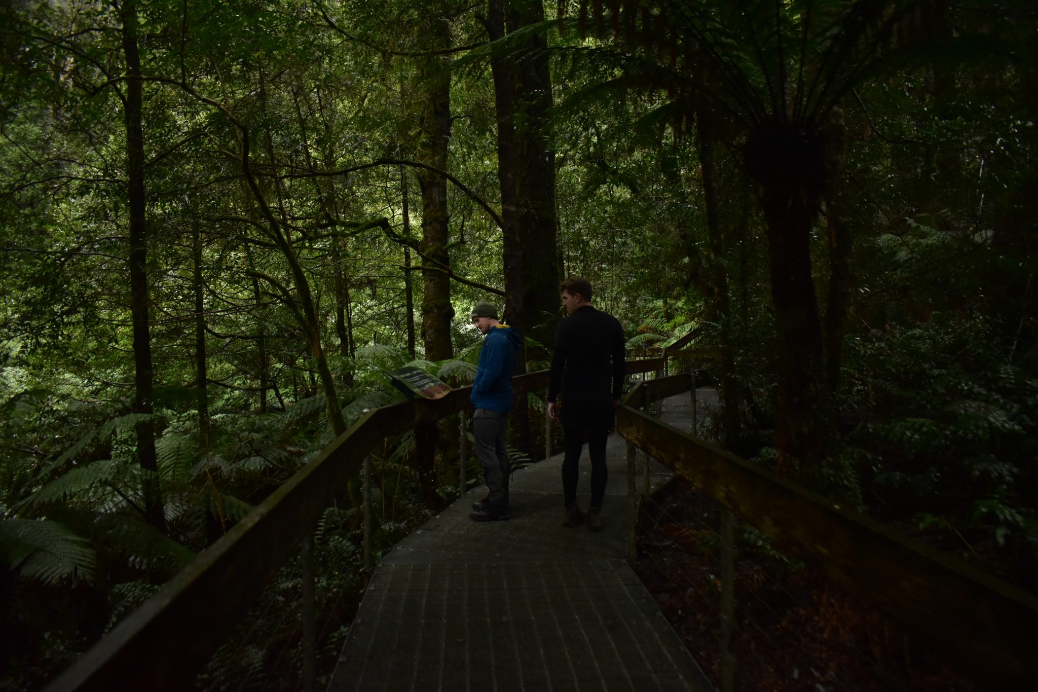
Photo Credit: JC Adventure Images
Located between Mount Donna Buang and Warburton on Mount Donna Buang, the Rainforest Gallery is yet another fantastic option for those looking for an easy wander in the area.
Beginning with a 40m long observation deck overlooking the forest at 15 metres high, the walk extends to a 350m-long elevated walkway through the greenest forest you have ever seen.
The photo above doesn’t do any justice to just how green and dense this part of Warburton really is.
And true to form with the flora in the area, the rainforest comes complete with 65-metre tall Mountain Ash, ferns, and ancient Myrtle Beech trees said to be up to 400 years old.
Pairing this hike with the Redwood Forest, La La Falls, the Ada Tree or even Reid’s Tramline would make for a fantastic day’s hiking in Warburton.
Start and Finish: Rainforest Gallery Car Park on Mount Donna Buang Road.
The Ada Tree Walk
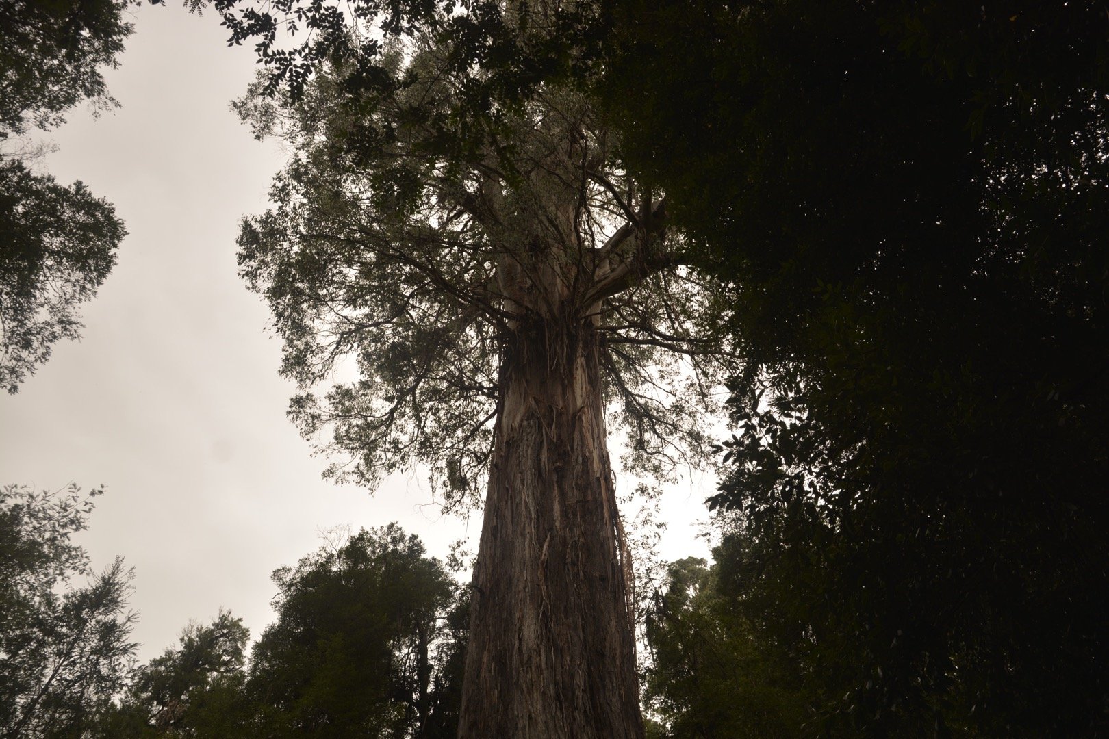
An easy 3.5km trail, the Ada Tree Walk is a fantastic option if you want to really stretch your legs in nature.
Not only that but the Ada Tree itself, much like the nearby Redwood Forest, is ridiculously impressive as it towers over its surrounding forest.
It is considered to be one of Victoria’s largest living trees and is estimated to be over 300 years old.
You’ll have no issues following or navigating the path as it includes hardened gravel and a few boardwalks which ensures that it is accessible for everyone.
Whilst it might be a little bit of an extended drive from Warburton, it is certainly worth the travel time for anyone who would consider themselves a beginner hiker or casual walker.
Finally, there are ample car parks as well as a toilet block at the Ada Tree Picnic Area thus making it an incredibly accessible place to visit.
Start and Finish: Ada Tree Picnic Area, Yarra State Forest
Reid’s Tramline Walk
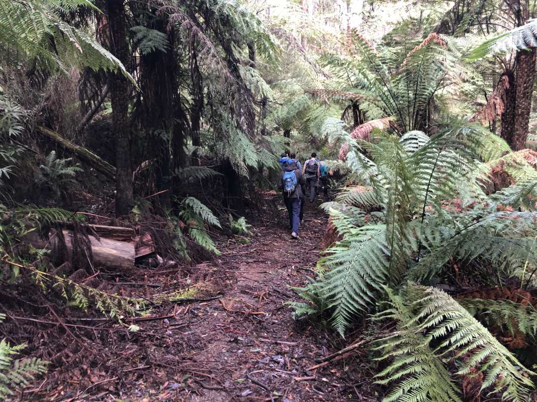
Very much a step from the other trails we’ve already mentioned in this guide, Reid’s Tramline Walk is a solid 6km hike that is part of the official Walk Into History Trail.
Starting from the Powelltown Streamside Reserve, the entire hike is typical of what you would find in the southern/southeastern regions of the entire Warburton area.
Now, just a little warning, the first section of this hike is a long, grinding hill that will test you a bit if you’re not used to hills.
That’s the bad news!
The good news is that once you’re finished with this section, it’s a relatively easy walk with only one downhill section left to do.
Continue following the path until you come to a fork in the road, take a right and then another right a little further along as you venture deeper into the forest to Reid’s Mill.
A lot of the hiking trails in this section of Warburton include some old relics left over from the timber logging days which Reid’s Mill was very much a part of.
Finally, once you emerge from the forest and cross the bridge over the Little Yarra River, you’ll need to do a bit of road walking to get back to the start of the hike.
Start and Finish: Powelltown Streamside Reserve, Powelltown.
Big Pats Creek to Starlings Gap Return
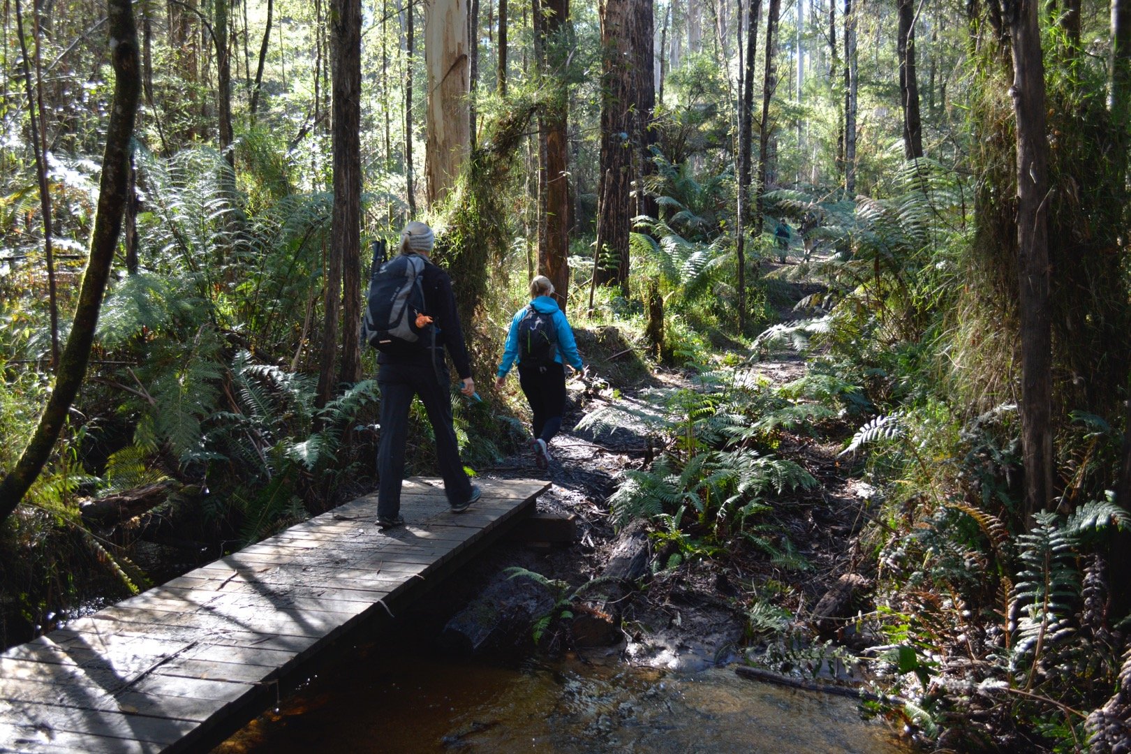
In the first section of the Walk into History Trail, this walk holds a special place for me as it is where I did my first overnight hike.
Starting from Big Pats Creek car park in East Warburton, this 18km return hike is a slow ascent to Starlings Gap campground.
Either done as a day hike or preferably as a pack carry hike so you can really enjoy yourself, one of the great things about this walk is that you’ll see very few people on it.
As mentioned before, most people who go hiking in Warburton for the day will typically hike some of the shorter trails that are closer to town.
However, a trail like Big Pats Creek to Starlings Gap is a little bit further out of the way and takes roughly 5-6 hours to do as a return hike which wouldn’t suit your everyday walker.
So, if you’re a keen bushwalker who wants to get away from the crowds, this one is for you.
Finally, there is a small campground at Big Pats Creek which is big enough for 5 tents and is located by the creek itself.
Start and Finish: Big Pats Creek campsite.
Starlings Gap to New Federal Mill Return
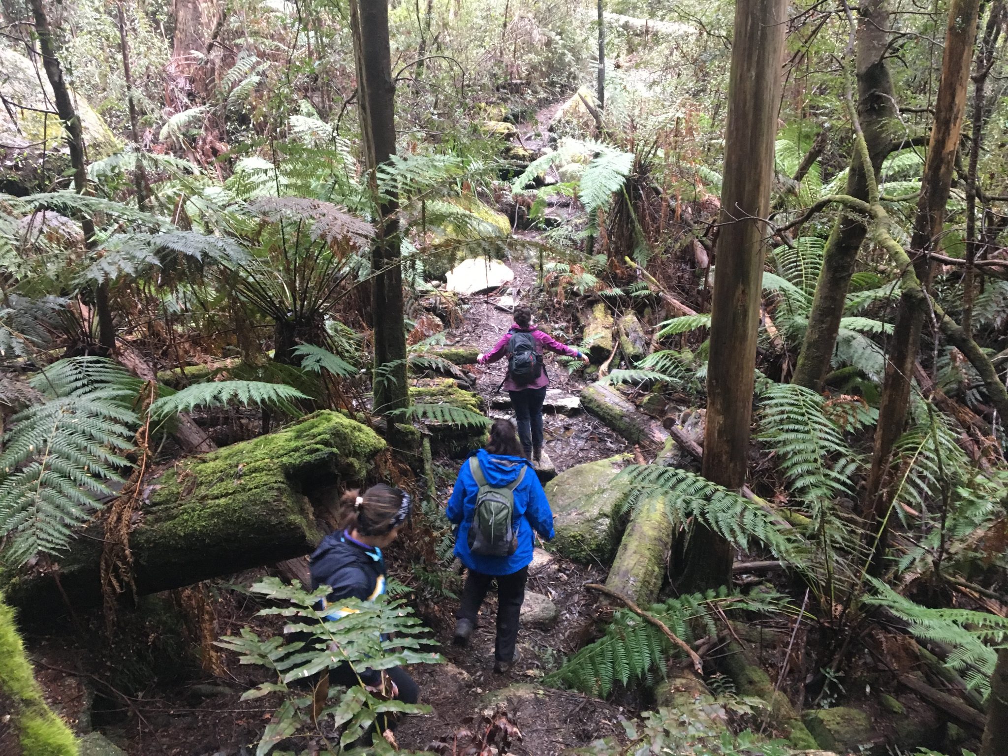
An extension of the Big Pats Creek to Starlings Gap, and typically the second day of the Walk into History Trail, the hike from Starlings Gap to New Federal Mill epitomises everything great about hiking in Warburton.
Now, before we get into more detail about this hike, given it is a section of rainforest it does come with its share of leeches.
Regardless if it’s the middle of winter or summer, you will encounter at least a few of them.
In saying that, they are nothing more than pests and shouldn’t be a deterrent for you when considering this hike.
Furthermore, it has its fair share of mud across some sections so be prepared to come home with plenty of it.
I think what I like most about this hike in Warburton is just how quiet and dense it can be.
Again, it’s that little bit further out from town and thus most walkers won’t go all the way out there to do it in a day; especially given its return distance of 19kms.
However, some sections are so dense that it’s bordering on claustrophobia – but in that good, outdoorsy way!
Finally, there are two really fun sections in this hike that I feel make it what it is.
First, there is a small section where you walk across an elevated boardwalk over a soft, marshy bog.
The other section is where you have to rock hop over a small section of the Ada River on your way to New Federal Mill which makes the overall experience a little bit more exciting.
If you have enough time, you could also extend the hike to visit the nearby Ada Tree from New Federal Mill.
Start and Finish: Starlings Gap Campground, Ada.
Mount Little Joe Loop via Backstairs Track
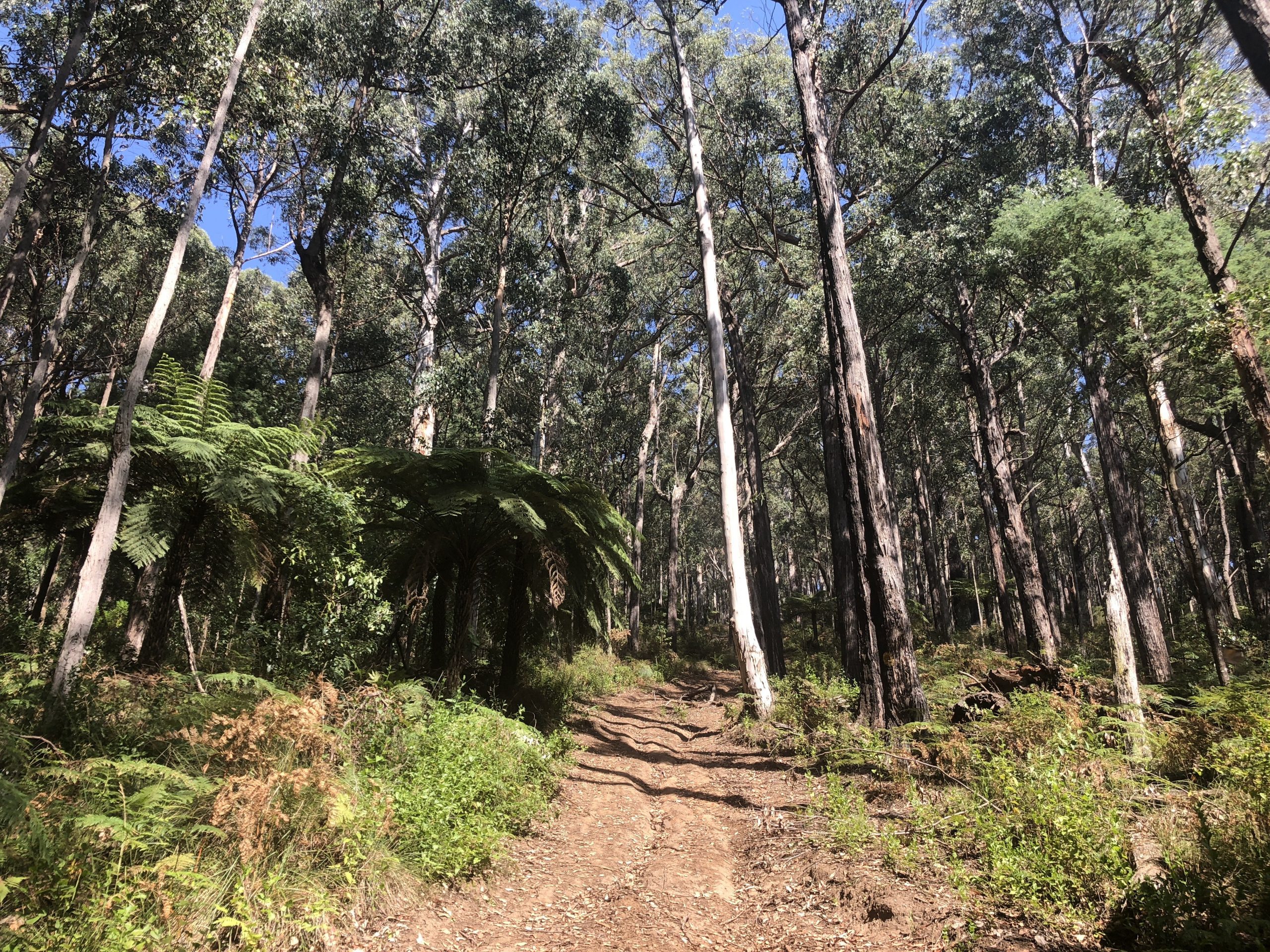
Possibly one of the two hardest hikes in Warburton, the trail to Mount Little Joe was once the location used for the end of the Oxfam Trailwalker event.
Beginning and ending at the Cog Cafe, the trail follows a small, flat section of the Lilydale-Warburton Rail Trail before veering off into the nearby bushland trails.
It’s a gentle walk from here until you reach the base of Mount Little Joe.
Now, I don’t mind tackling a hill here and there but there is no warming up for this one as you ascend sharply straight away.
You’ll no doubt need to take a few breaks on your way to the top but it gives you a chance to take in your surroundings which are pretty nice.
Despite its name, it isn’t much of a mountain and is more like a large hill so there’s not a summit at the top.
The only thing waiting for you is a nice, flat walking trail which is a good place to cool down after that intense hill.
However, as sharply as you ascend, you descend a similar gradient on the way down as you rejoin the more gentle section of the hike on your way back to the Cog Cafe.
Start and Finish: Cog Cafe car park
Mount Donna Buang via Mount Victoria
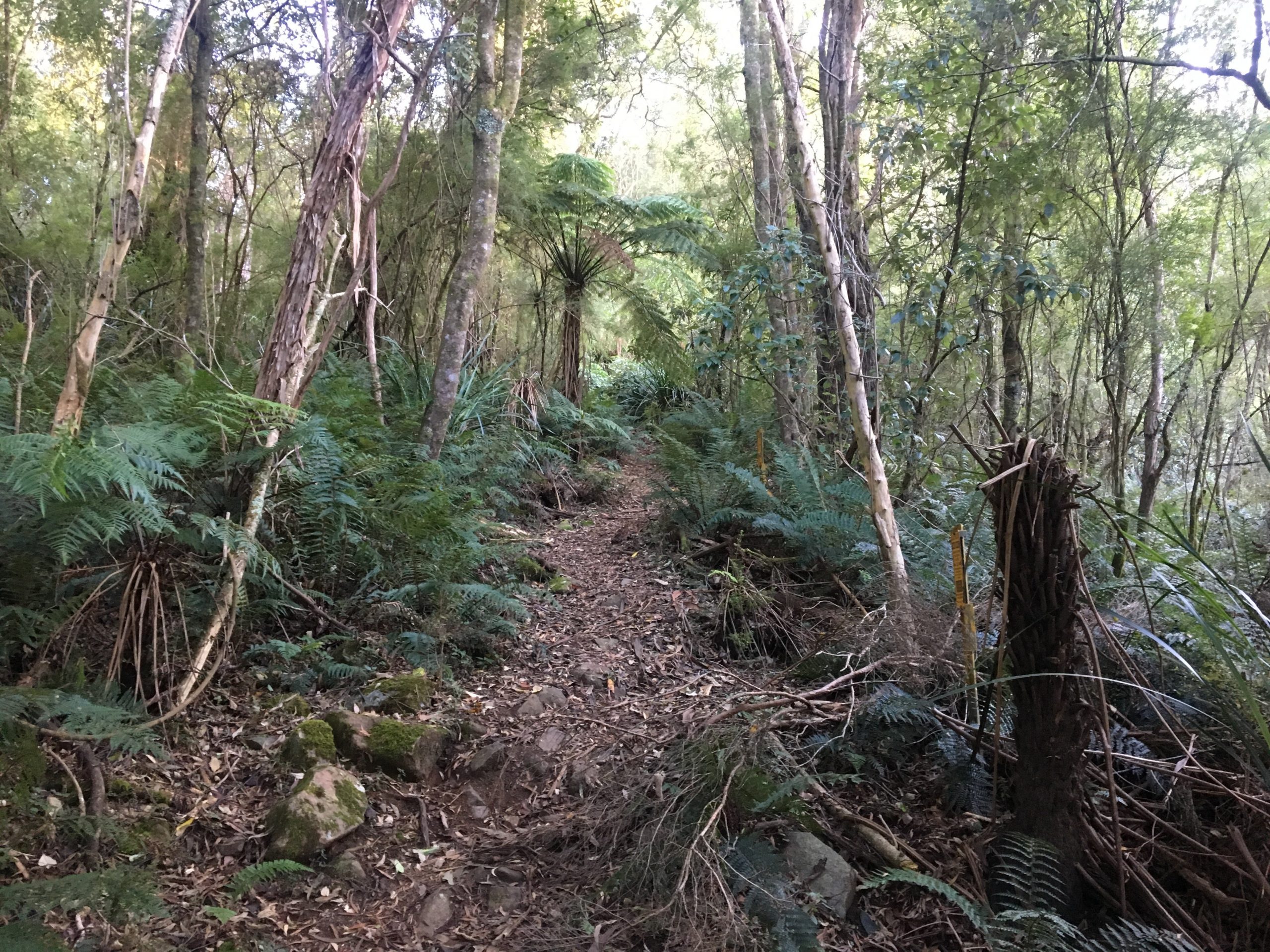
If Mount Little Joe is the second hardest day hike in Warburton, then Mount Donna Buang would have to be the hardest.
A near-on 14km Grade 4 hike that will roughly six or more hours to do, this is an absolute doozy when it comes to hills, track quality, and difficulty.
Because of this, several tour operators use this hike as training for their upcoming Kokoda Treks.
There are a few places to start this hike from in town, such as the Warburton Tennis Club car park, but the official trailhead begins on the corner of Martyr and Wellington Road.
There is a big sign at the start that reads “Donna Buang Walking Track 12 KLM Return, 7 Hours”, so you really can’t miss it.
From here, you’ll gradually ascend to the mountain rising approximately one kilometre in elevation.
So that gives you some idea as to the incline you’re in for.
Once you come to where the trail intersects Mount Donna Buang Road, you’ll take a right alongside the road to a makeshift car park and then onto the summit.
If you’re not too tired once you reach the summit car park, be sure to scale the lookout tower to get some insanely good views of Warburton down below.
Start and Finish: Warburton Tennis Club car park or wherever you would like to that is nearby.
The Walk Into History Trail
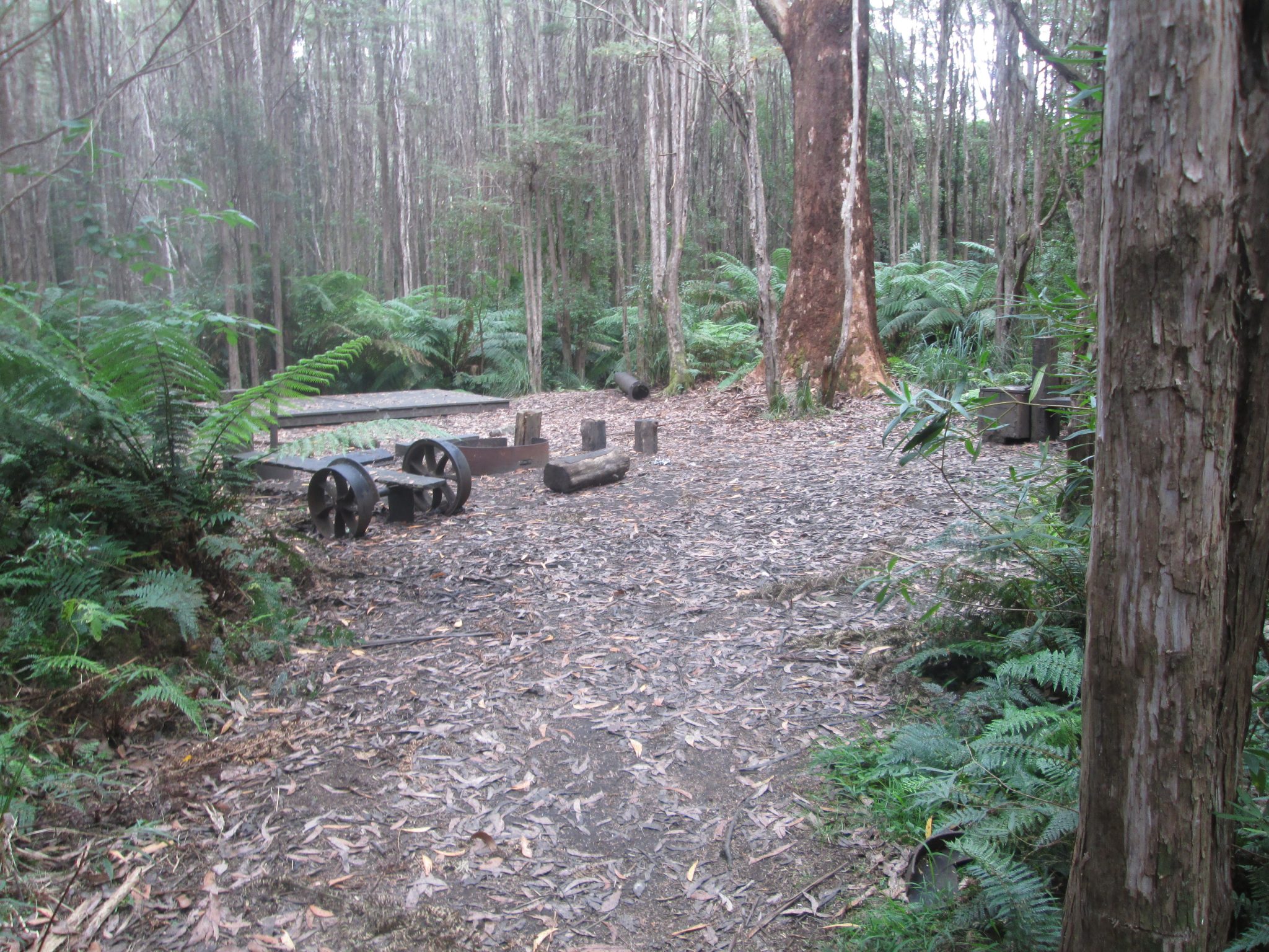
Considered the only true multi-day hikes in Warburton, the Walk Into History trail is incredibly underrated and doesn’t get the attention that it possibly deserves.
Typically done as a one-way hike starting from Big Pats Creek and finishing in Powelltown at the start of Reids Tramline Walk, this is a 2-3 day, near-on 60km pack carry hike that is as scenic as it is challenging.
You’ll hike the previously mentioned Big Pats Creek to Starlings Gap and to New Federal Mill before heading south down an incredibly steep section known as the High Leads.
This section rises/falls 500ms over two kilometres and can be quite a challenge if it’s soft underfoot.
Once you’ve finished the High Leads section you’ll emerge onto a trail that runs parallel with Yarra Junction-Noojee Road that will take you into Powelltown.
Aside from Big Pats Creek and Starlings Gap, there is a fantastic campsite called Ada Mill No. 2 where you can stay.
Much like the other nearby hikes in Warburton I’ve already mentioned, you’ll find yourself wandering through a Mountain Ash and fern-infested forest that is simply stunning.
Due to its lack in popularity as a multi-day hike, you’ll almost certainly not come across anyone as you venture deeper into the forest thus making it ideal for those of you who love isolated pack carry hikes.
However, this does present some safety management issues when it comes to notifying others of where you are and what you’ll be doing.
Furthermore, there is very little reception along most sections of the trail so ensure you have a PLB with you whilst out there just in case.
Start and Finish: Big Pats Creek to Powelltown Streamside Reserve.
