Following on from our previous article, our group hiked southwest to Lake Tali Karng via the steep Gillios Track.
And when I say steep, I really mean it. The trail descends 600 metres from the top to Lake Tali Karng.
There are two ways to get to the lake, and while the Gillios Track is much shorter compared to the Echo Point and Riggal Spur Track, it’s certainly much steeper.
The trail itself is similar to any trail you would find in the bush i.e. well-formed and in amongst lots of trees.
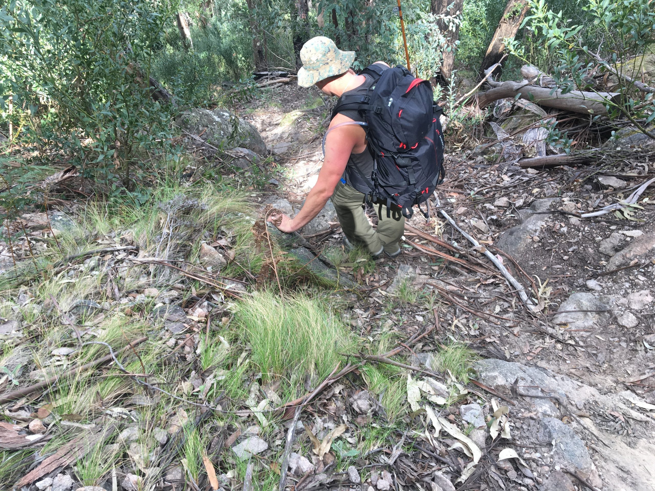
The trail is fairly straightforward coming out of the Nyimba campsite. However, when you come to the junction at Gillies Track and Riggal Spur Track, that’s when the track quickly starts to descend.
I would consider the first 2-3 kilometres a gradual decline, and the third kilometre is when you start to concentrate on your balance and where you are placing your feet.
Given the recent storms we’d had at the time I wrote this article, I encountered many fallen trees and branches. So, if you are up there anytime after a storm, be prepared to jump over all sorts of tree obstacles.
The last kilometre of the trail will test your knees and balance as it winds its way downhill without any flat terrain.
I would strongly recommend bringing a set of hiking poles or finding a sturdy stick to balance yourself because it is extremely easy to fall.
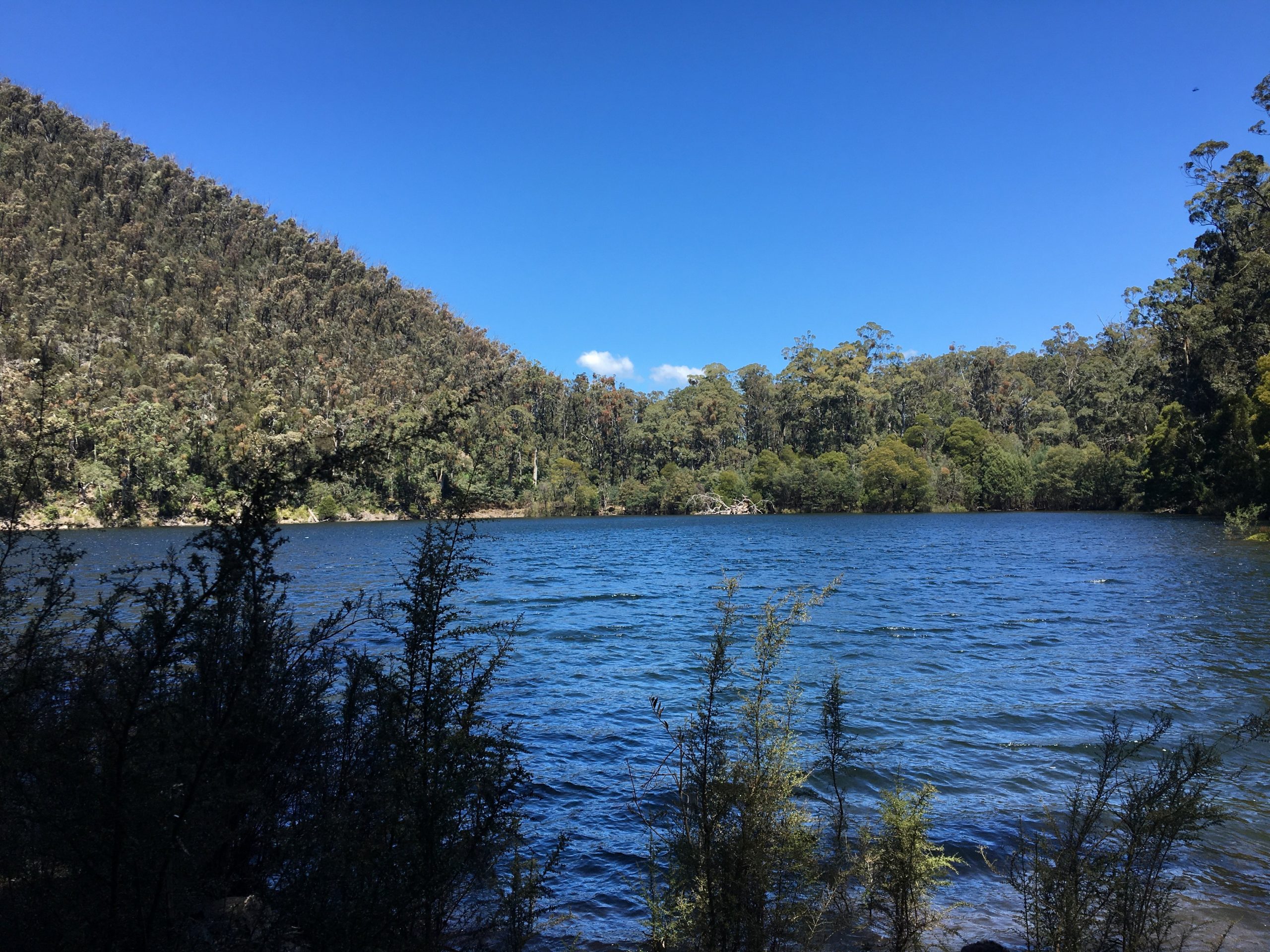
After an hour and forty-five minutes of hiking and trying not to fall over, I had finally made it to Lake Tali Karng.
All that hard work was totally worth it as the view of the lake is unreal. There isn’t a hell of a lot to do around there, so I relaxed and had a bit of a look around the area.
However, if you feel so inclined, you can go for a swim in the 51 metre deep lake if you’re up for icy cold water. Remember – you are in alpine territory!
Some History About Lake Tali Karng
Often referred to as the ‘Hidden Lake’, Lake Tali Karng was formed because of a massive landslide that was said to have occurred about 1500 years ago.
Tons of rocks had collapsed into the area now known as the Valley of Destruction.
The area is also a sacred place to the Gunaikurnai people and they have given permission for people to visit there provided they don’t camp by the lake.
Unfortunately, we could see remnants of people who had camped there and had also made campfires. People really can’t help themselves!
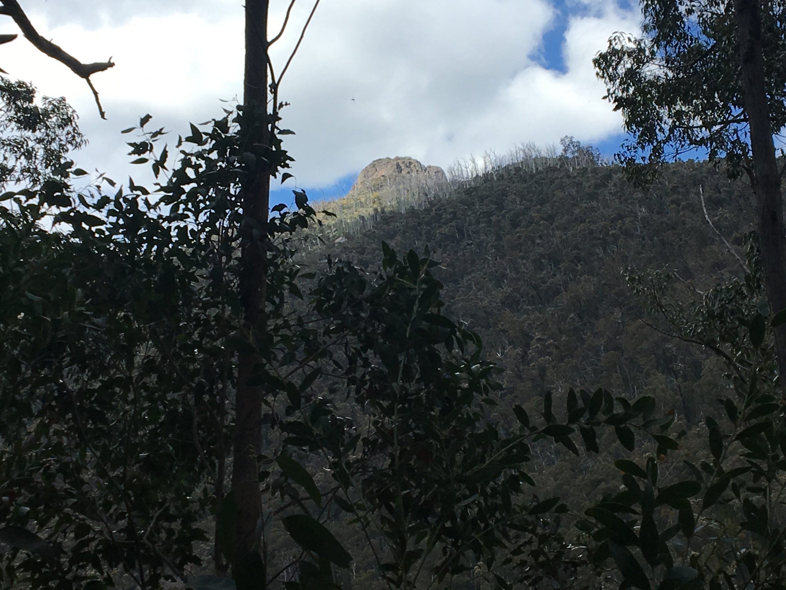
Rather than head back up Gillios Track to get back to Nyimba, we went up the Echo Point Track which leads to an intersection at Riggal Spur Track.
Unfortunately, I was unable to record the return journey on WikiLoc as there was no reception at the lake for me to do so.
However, if you would like to download the trail we took to get to Lake Tali Karng, you can do so here.
The Secret Waterfall in Lake Tali Karng
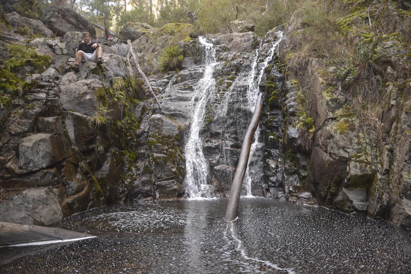
Despite getting to the bottom of the lake and there not being much to do despite skirting around parts of the lake, there is something very cool you can access in certain conditions – a secret waterfall.
Now, the only time you can access this waterfall is when the water levels of the lake have to come down significantly to the point where you are walking over debris and soft muddy sections to get to it.
In short, you have to be incredibly lucky for this to happen.
It’s a nice little waterfall with plenty of places to sit around and relax. I felt incredibly lucky to be able to find it because as mentioned it’s typically hidden by the rising water levels of the lake.
The Stats – Lake Tali Karng via Gillios Track
Length (km): 4.08km (according to WikiLoc)
Time: 1hr 46 mins (1hr 34 mins moving time)
Average Speed: 2.21 km/h
Difficulty: Difficult
Maximum Elevation: 1477m
Accum. elev. uphill: 0m
Accum. elev. downhill: 604m
Return/Circuit/One Way: One way/return (recommend one way and return another way)
