The Mitchell River Walking track, located in the Mitchell River National Park in the Gippsland region of Victoria, is a near-on 21 kilometre Grade 4 trail that has everything from beautiful rainforest gullies to stunning views from its various lookout points.
I would argue that it’s one of the more underrated hikes available to outdoor enthusiasts in Victoria.
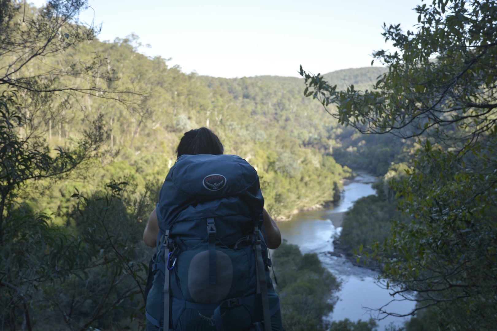
Often hiked as a one-way trail, or as a multi-day hike, you can start at one of two locations – the Angusvale campground or the Den of the Nargun.
Angusvale is a wide-open area with seemingly unlimited spots for you to pitch a tent for the night.
It’s quite close to the river and, if you get up early enough, kangaroos can be seen in their droves.
Whilst you can’t legally camp at the Den of the Nargun, there is a picnic area and car park situated here and a campsite located nearby at a spot known as Woolshed Creek.
Again, it’s quite close to the river, so if you are camping here, there is ample opportunity to filter your water here.
The only thing I will say about this campsite is that the ground is mainly clay and can be difficult to insert your tent pegs into it.
However, there is an official campsite a little further south called Echo Bend Camp Ground. It’ll cost you $26 per head per night for an unpowered site.
But, if you have a group of 10 or more, it’ll cost you $10 per head.
It’s a very well-run campground and the owners – Jeff & Julie – are incredibly good hosts and very welcoming of their guests.
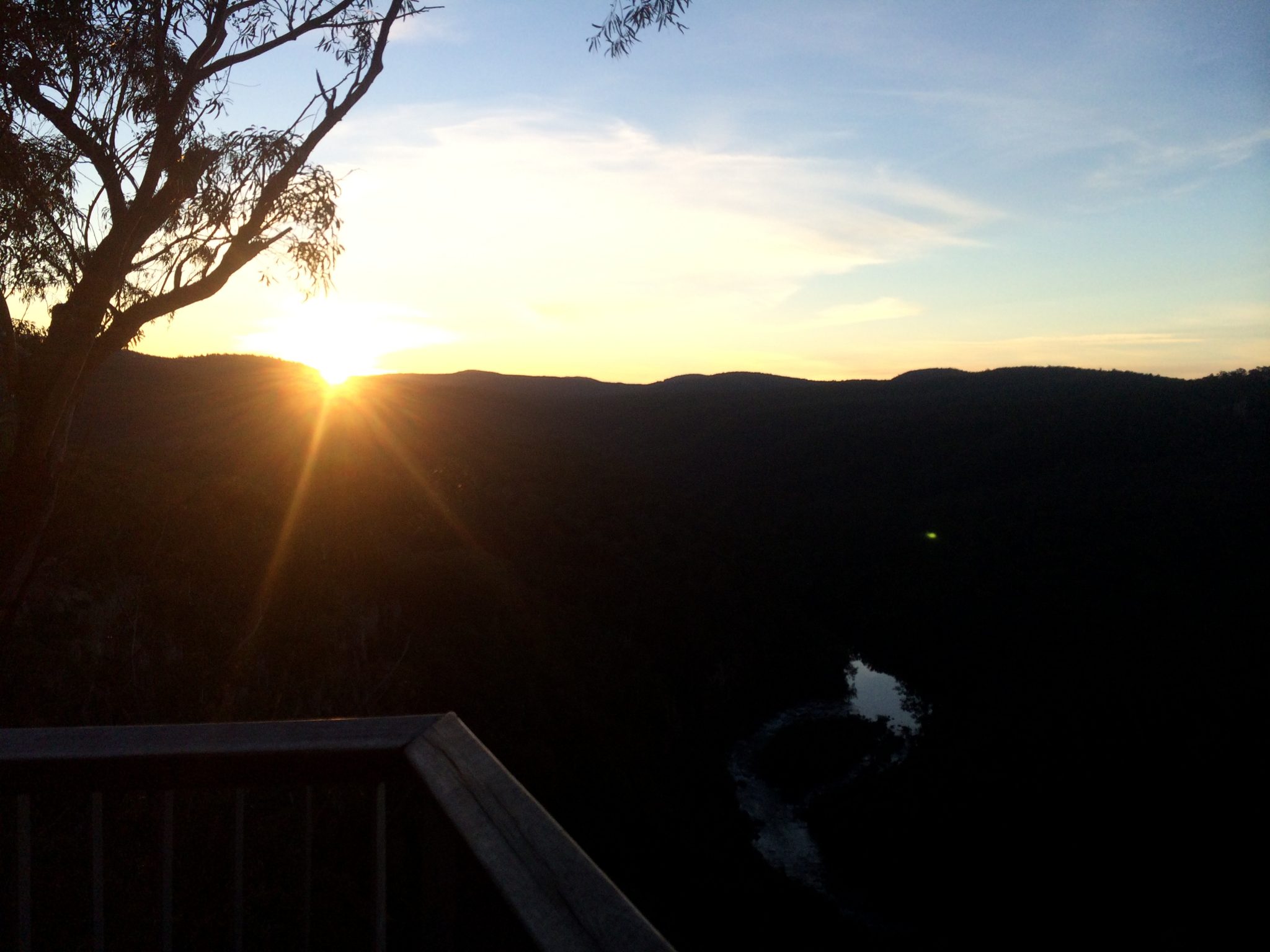
My friends and I started our hike from Angusvale, made our way down to the Woolshed Creek camp spot, and back again.
Whilst 21 kilometres may not seem long, it can be quite deceiving given how low the trail goes into the gullies and how high it goes to the top of the gorge.
Particularly at the lookout point near Billy Goat’s Bend. So expect a good workout for your quads and calves.
With that in mind, give yourself plenty of time during the day to complete the hike.
While my friends and I completed the Mitchell River Walking Track over two days, you could do it as a one-way trek and incorporate a car shuffle into it from either end.
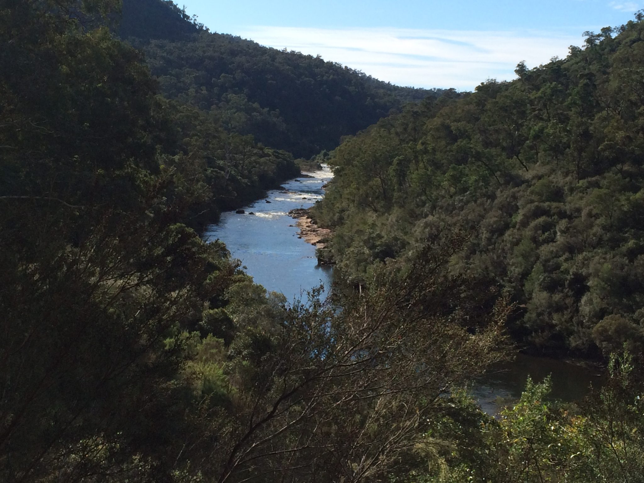
My suggestion would be to start no later than 9-9:30am. That way you can have a fair few breaks, take in all there is to take in, and still finish the day during daylight.
Furthermore, if you are feeling a little more adventurous, Mitchell River is also a great place to do some canoeing or kayaking.
The track has also been known to be used for trail running events.
***PLEASE NOTE: I have since been back to the Mitchell River Walking Track and was able to record both day’s hikes which included walking to and from Echo Bend.***
Day one of the Mitchell River Walking Track (Angusvale to Echo Bend including Den of Nargun) can be found here via WikiLoc.
Day two of the Mitchell River Walking Track (Echo Bend to Angusvale) can be found here via WikiLoc.
The Stats – Mitchell River Walking Track
Day One
Length (km): 23.8kms
Time: 8hr 7 mins
Moving Time: 6hr 22 mins
Average Speed: 2.93 km/h
Difficulty: Very Difficult
Maximum Elevation: 235m
Accum. elev. uphill: 653m
Accum. elev. downhill: 683m
Return/Circuit/One Way: One way
Day Two
Length (km): 22.6kms
Time: 6hr 40 mins
Moving Time: 5hr 33 mins
Average Speed: 3.37 km/h
Difficulty: Very Difficult
Maximum Elevation: 230m
Accum. elev. uphill: 548m
Accum. elev. downhill: 551m
Return/Circuit/One Way: One way
