If there is one thing that I love when I’m out hiking, it’s a challenge; and that’s exactly what you get when you hike the Morley’s Walking Track towards the beginning of the Black Spur.
Located amongst the lush green ferns in a largely isolated part of the area, the Morley’s Walking Track can be started from either Fernshaw or Dom Dom Saddle Picnic Ground.
For the purpose of this blog, I’ve written about it based on starting from the Fernshaw Picnic Ground.
This 20km hike not only weaves its way through some incredibly nice scenery with some spectacular views, but it is also home to three fairly steep sections.
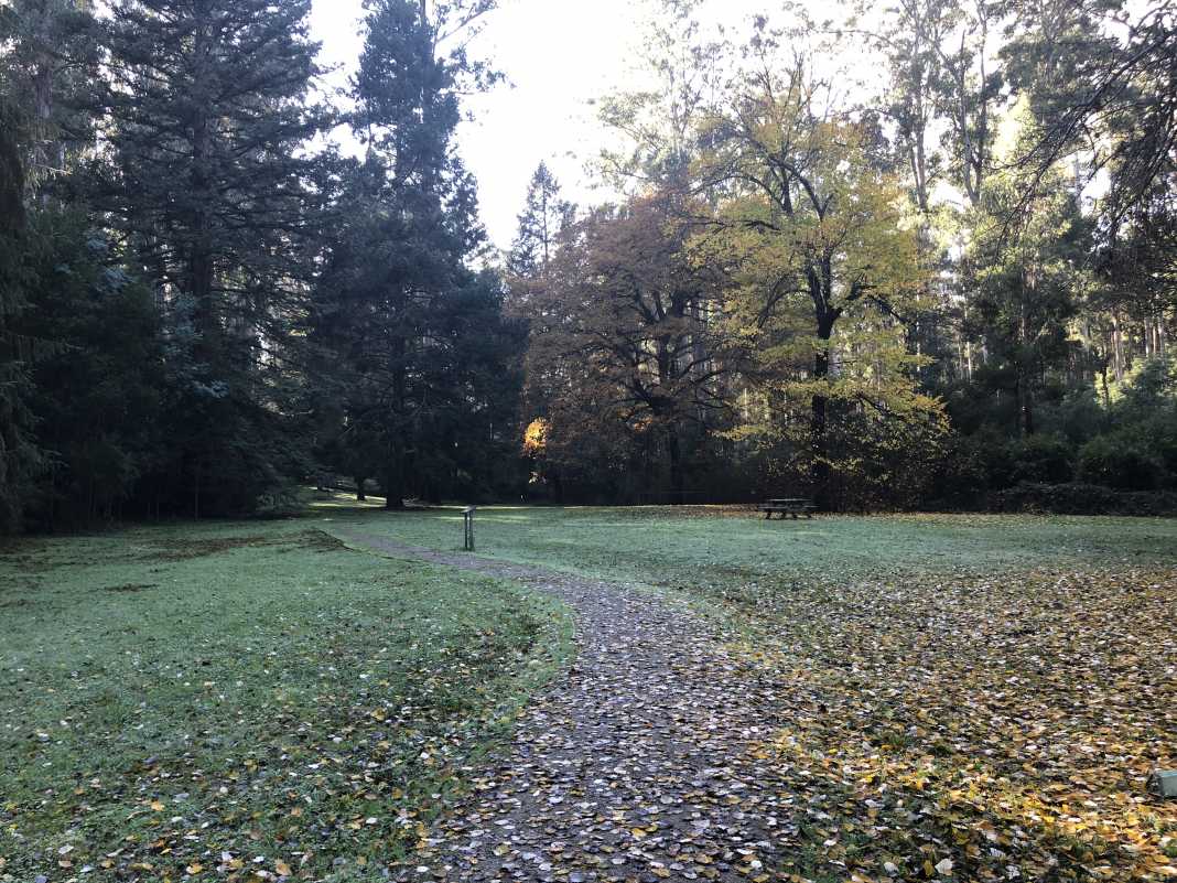
To make a comparison, I would liken the steep sections of Morley’s Walking Track to:
- Mount Donna Buang
- Parts of the Mount Juliet return track
- The section heading up to the top of Mount St Leonard and all of Condons Track
In short, they’re bloody steep! Especially the one that confronts you at about the 8km mark. Trust me! You’ll know what I mean when you come to it. Aside from the hills, the rest of the walk really is fantastic.
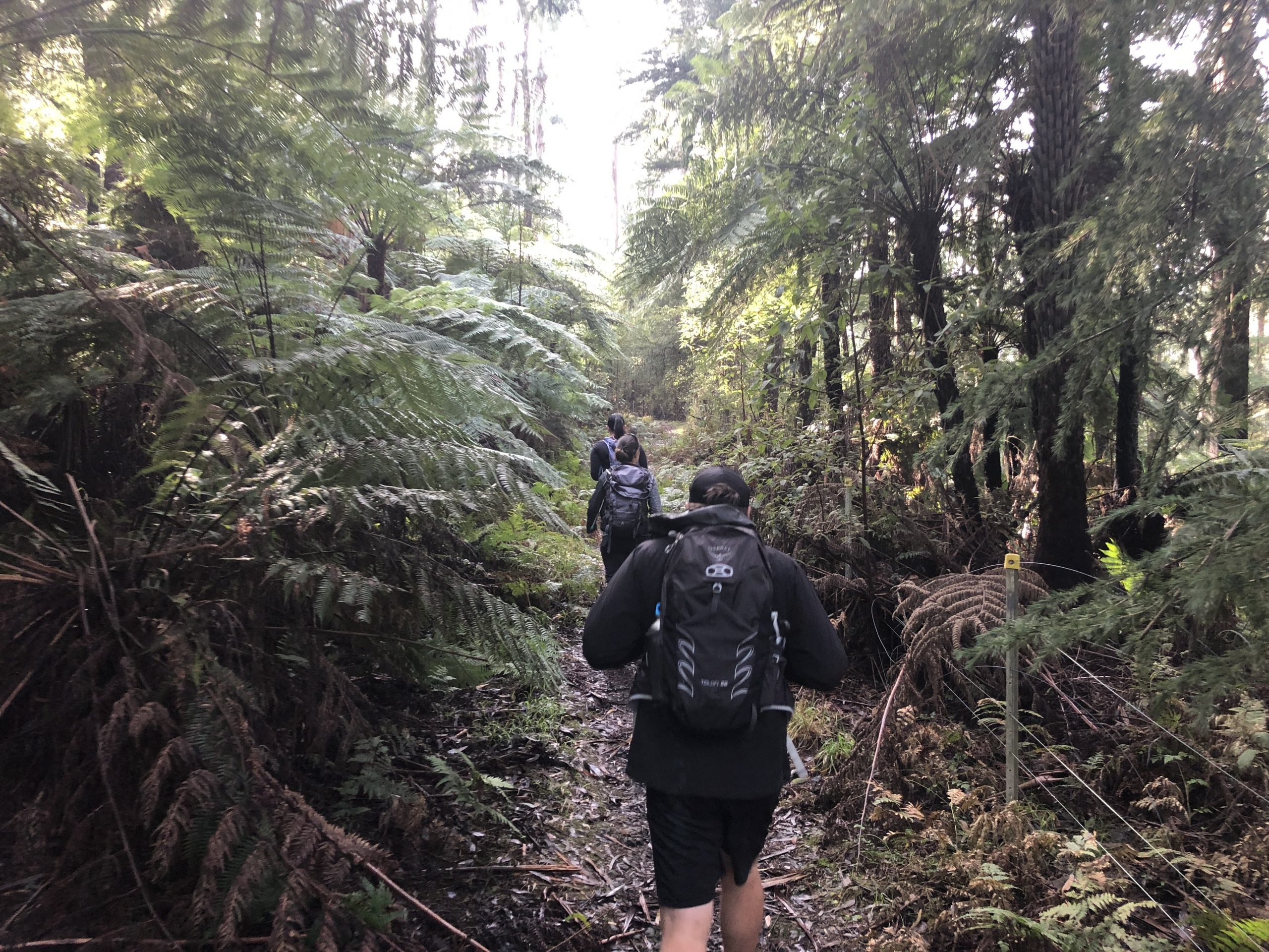
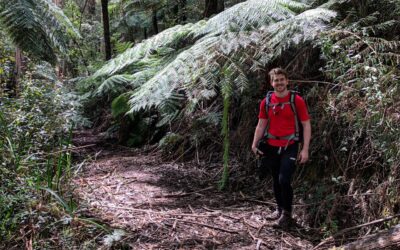
There are ferns and Mountain Ash absolutely everywhere, the track is clear and well-formed and is easy to navigate. Of course, it has been known to be overgrown in parts as it is only maintained semi-regularly.
If you have done any of the other hikes in Warburton such as Big Pats Creek to Starlings Gap Return, you’ll be aware of how dense the forest is in parts.
It’s very much like that on Morley’s Walking Track where you get that sense of being surrounded by low-hanging trees and branches.
And much like Warburton where the tracks are muddy and the weather is cold and wet, you might get the odd leech as well.
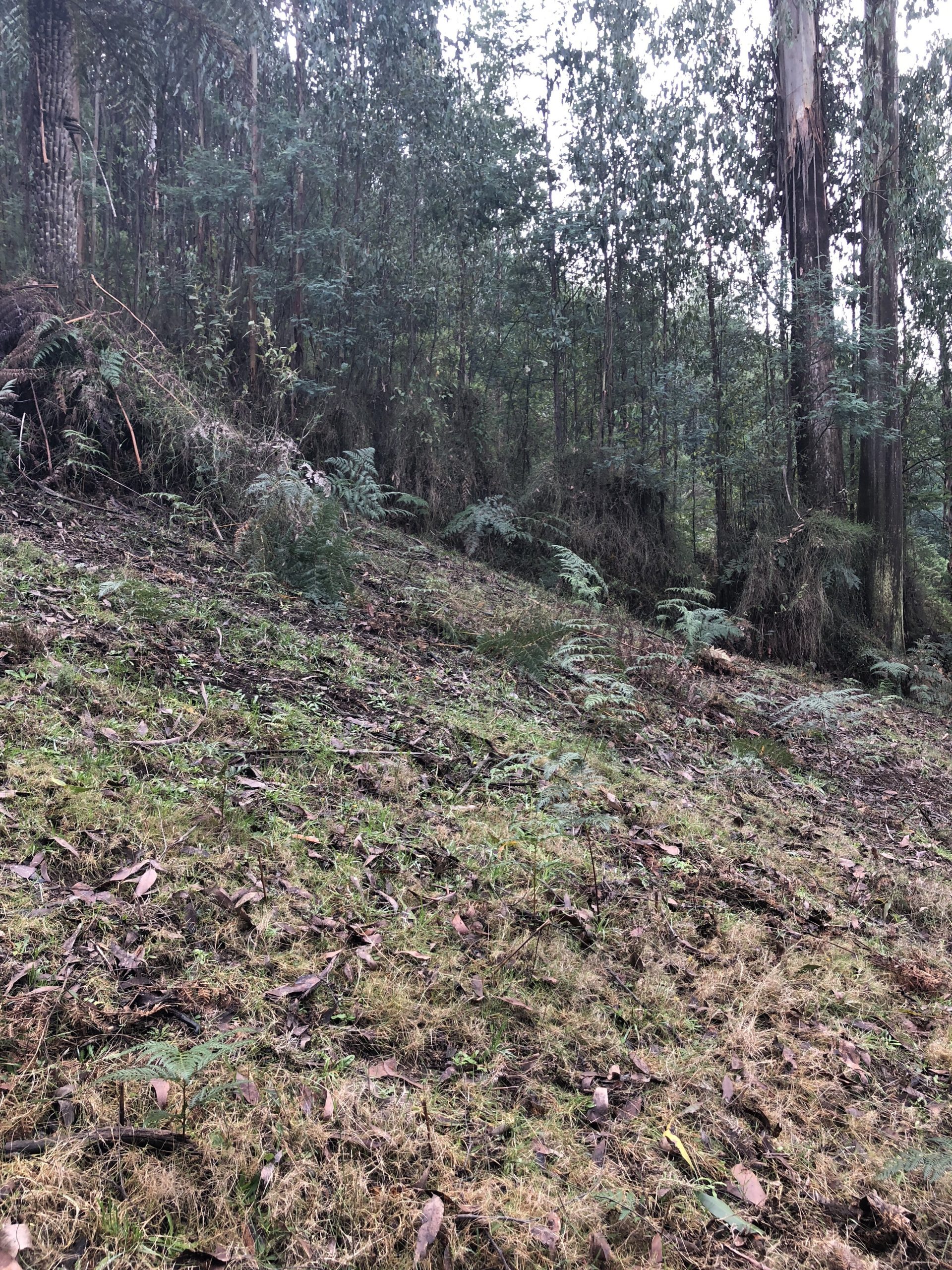
Once you get out of the main section of the forest at around the 8km mark, the track turns into a management vehicle track and becomes significantly wider.
To get back to Fernshaw Picnic Ground simply go back the way you came.
Apart from the challenges that the hills present on this hike, it is, in my opinion, a really good hike for a number of reasons.
First of all, there are two really spacious car parks at either end of the track which can be easily accessed from Maroondah Highway and the Black Spur
Both picnic grounds would make for a great place to bring the kids for a run around the place and, obviously, a picnic.
Second, even though there is very little online information about the hike itself, the track is incredibly well-signed.
It’s worth noting that at about the 2-3km mark, you’ll come to an open junction. Make sure you stick to the left of the wooden post and follow that path.
I would probably rate Morley’s Walking Track as a Grade 4 hike due to the multiple hills you’ll have to ascend/descend across the 20kms.
By no means is it incredibly difficult, but if you struggle with hills then you may want to avoid this one.
Getting There – Morley’s Walking Track
Follow Maroondah Highway through Healesville and keep an eye out for the Fernshaw Picnic Ground on your right. It’s located roughly 11kms outside of Healesville, with the trailhead located at the back of the picnic ground.
There’s also a toilet block and plenty of space to park.
As always, if you have the WikiLoc nav app and want to download this trek, you can do so here.
The Stats – Morley’s Walking Track
Length (km): 20.04kms (according to WikiLoc)
Time: 5hrs 48mins
Moving Time: 3hr 58mins
Difficulty: Difficult (Grade 4)
Maximum Elevation: 671m
Accum. elev. uphill: 784m
Accum. elev. downhill: 784m
Return/Circuit/One Way: Return
