First of all, let me tell you a little about Getaway Trekking and all the awesome treks they go on.
With offices in Melbourne and Cairns, they have established a reputation for leading culturally and ecologically sensitive treks in places such as Papua New Guinea, Indonesia, Nepal, and more.
The jewel in the crown of their treks is the iconic Kokoda Trak in PNG; a trek that has historical significance for Australia.
But, these treks aren’t something you can simply book today and do tomorrow.
They require significant training and this is where Mount Donna Buang, and other nearby locations, come into play as training hikes.
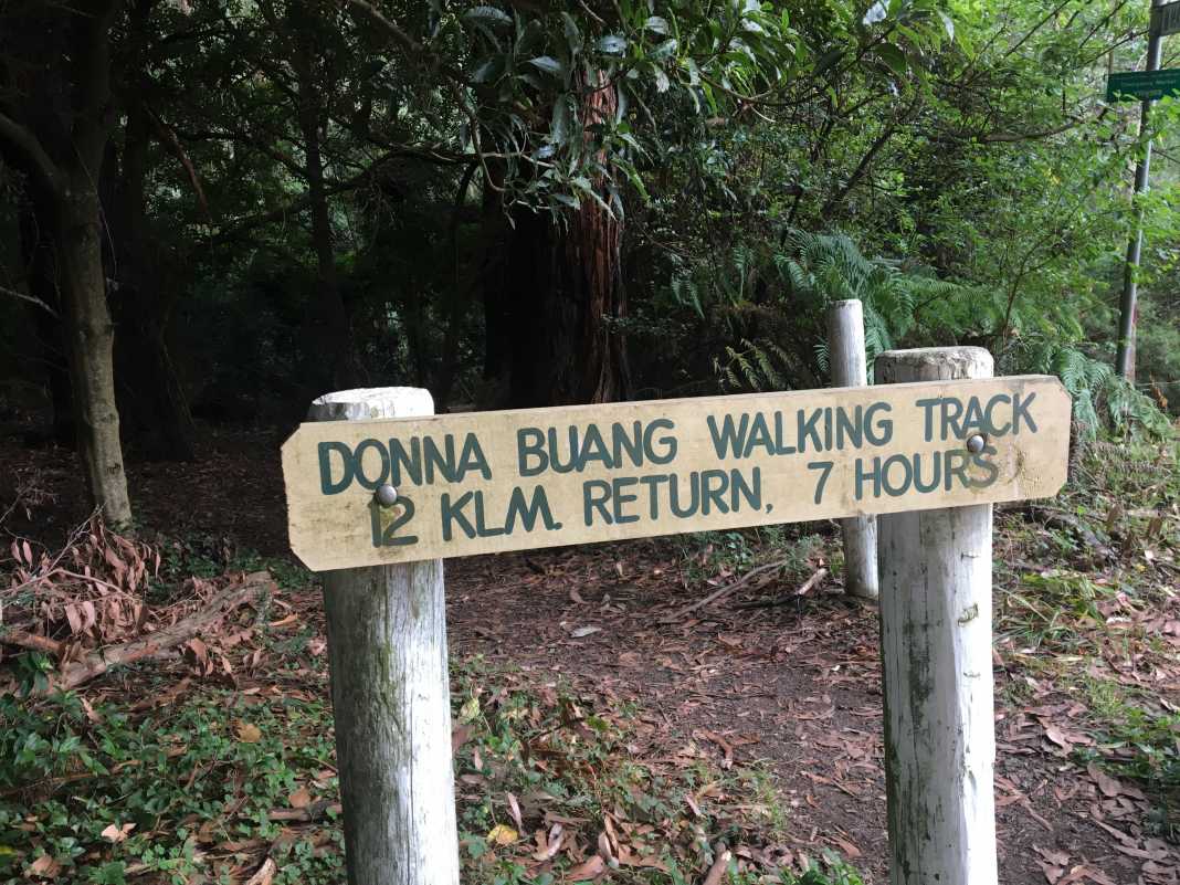
This near-on 14km trek is an absolute cracker and is quite steep, so be prepared to slip over now and again.
Starting at the Warburton Tennis Club car park, make your way over the bridge and head left until you come to the corner of Martyr Road.
This is where the fun begins as you’re confronted with a steep road hill and are given no time to adapt to what is to come.
After you have completed the hill, it will flatten out and descend into the forest area. There is a sign indicating that this is the way to the Mount Donna Buang summit.
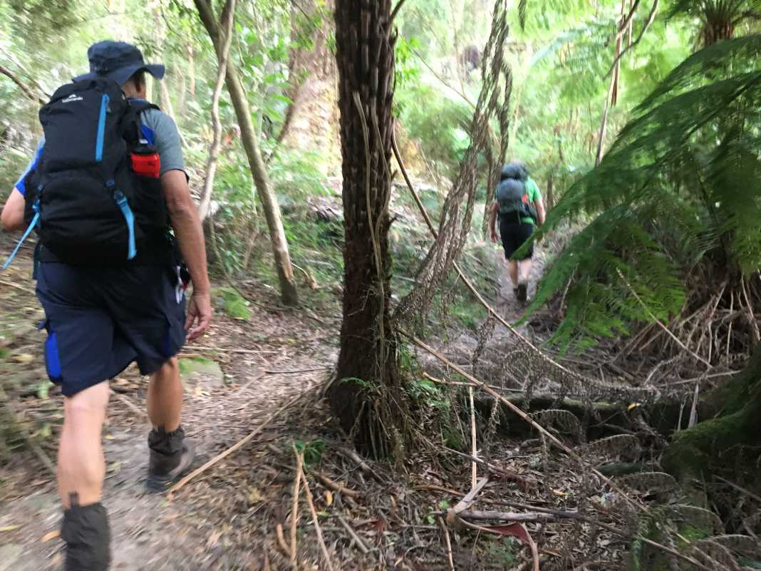
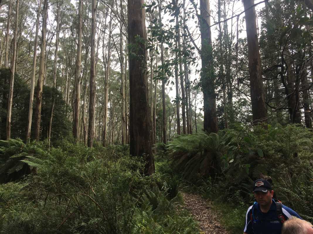
Follow this trail through the dense forest area for a short while until you find yourself walking alongside a barbed wire and electrified fence.
Keep heading up this track until you come to the t-intersection of the O’Shannassy Aqueduct.
This is the beginning of the Mount Victoria Walking Track and probably the most relentlessly steep section of the entire hike.
There are some flat sections in this part of the hike, but it is mostly steep.
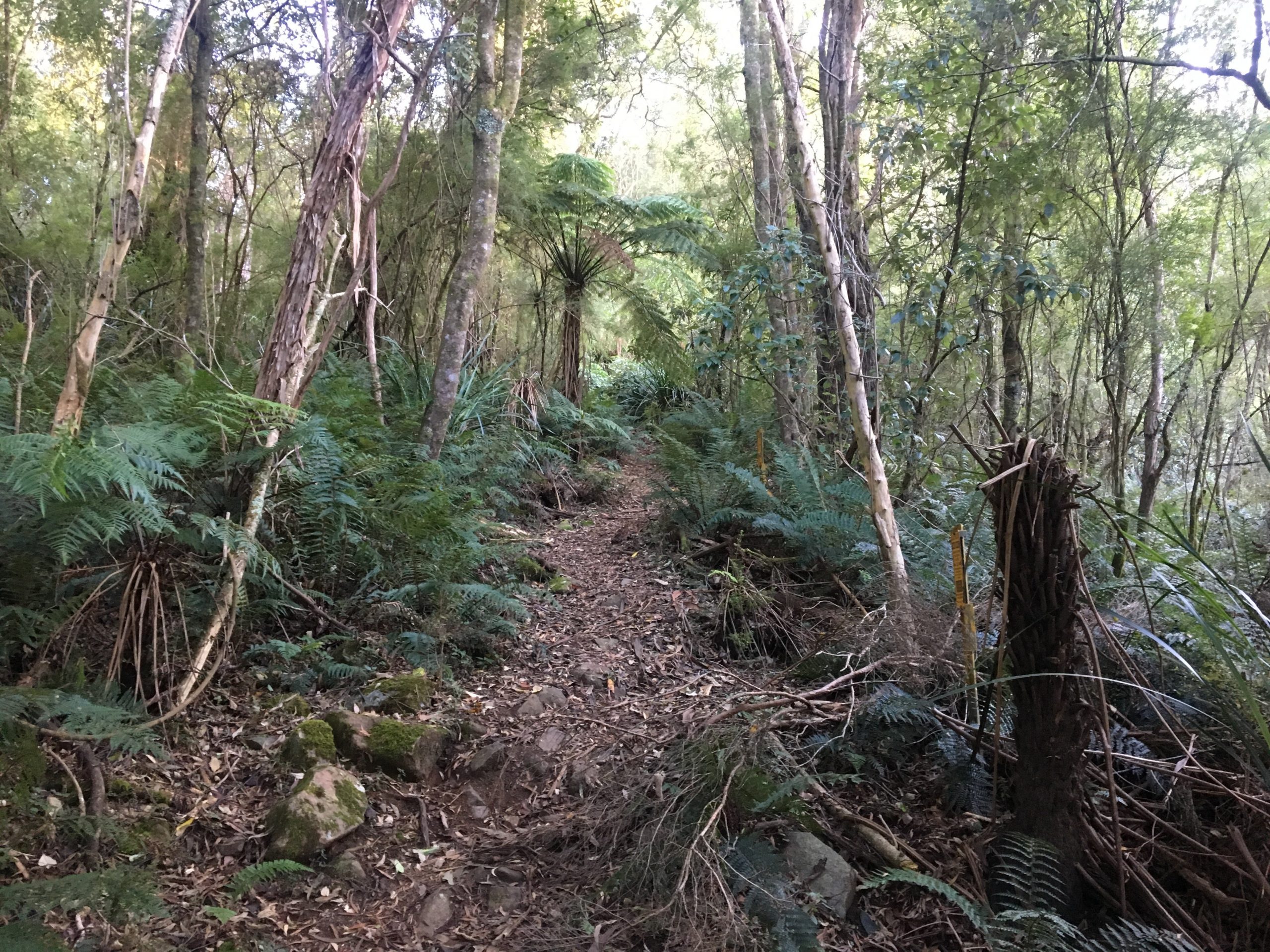
After some time dodging and stepping over rocks and debris from the trees, you’ll come out onto Donna Buang Road.
Take a left and walk alongside the road until you come to a car park area where a natural spring is located. It’s a great spot to rest and fill up your water supply!
There is a nearby wooden fence you can climb over and continue heading up onto the path that will lead you all the way to the summit of Mount Donna Buang.
And all that effort you put in to get to the top is handsomely rewarded with spectacular views some 1245m up.
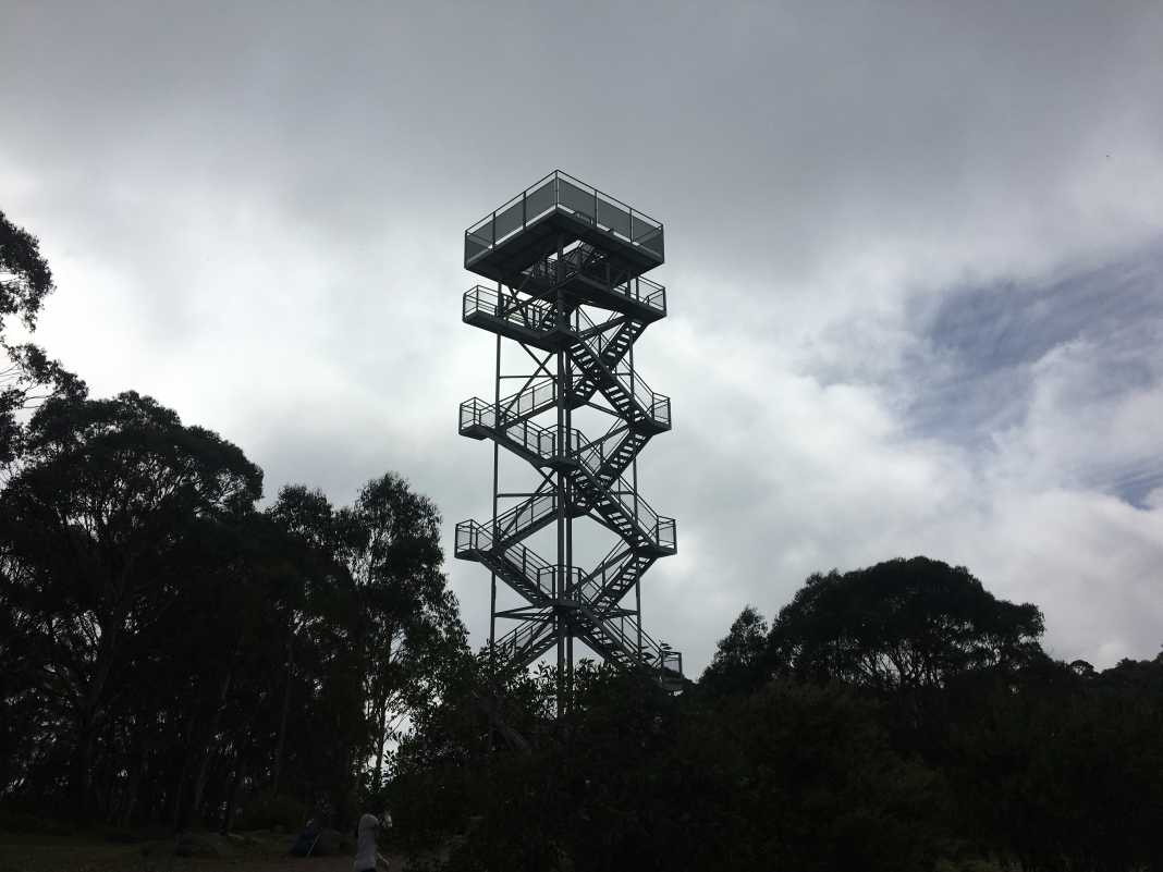
You can also climb the lookout tower to get an even better view of the surrounding Warburton area.
Overall, the Mount Donna Buang via Mt Victoria hike is a reasonably challenging hike and one that is ideal if you are training for a longer hike such as the Kokoda Track.
Be prepared for leeches, steep hills, mud, fallen trees, steep hills, branches, epic views…oh, and did I mention steep hills?
As always, if you wish to follow the same track I did, please download it here from WikiLoc.
How high is Mount Donna Buang?
Mount Donna Buang sits at an elevation of 1,245 metres. The summit includes a lookout tower that stands approximately 21 metres high and offers stunning views of Melbourne, the Yarra Valley, the Dandenong Ranges, the Cathedral Ranges, Mount Baw Baw, and the Australian Alpine Region.
 The Stats – Mount Donna Buang via Mt Victoria
Length (km): 13.7km (according to WikiLoc)
Time: 6hr 2 mins
Moving Time: 5hr 39 mins
Average Speed: 2.27 km/h
Difficulty: Difficult
Maximum Elevation: 1261m
Accum. elev. uphill: 1142m
Accum. elev. downhill: 1142m
Return/Circuit/One Way: Return
