While hiking up to Mushroom Rocks over the weekend, I took a side trip to hike the return Mount Erica Trail.
Starting from the rocks, the trail takes you northwest towards Mount Baw Baw and on an average uphill elevation of 362m according to WikiLoc.
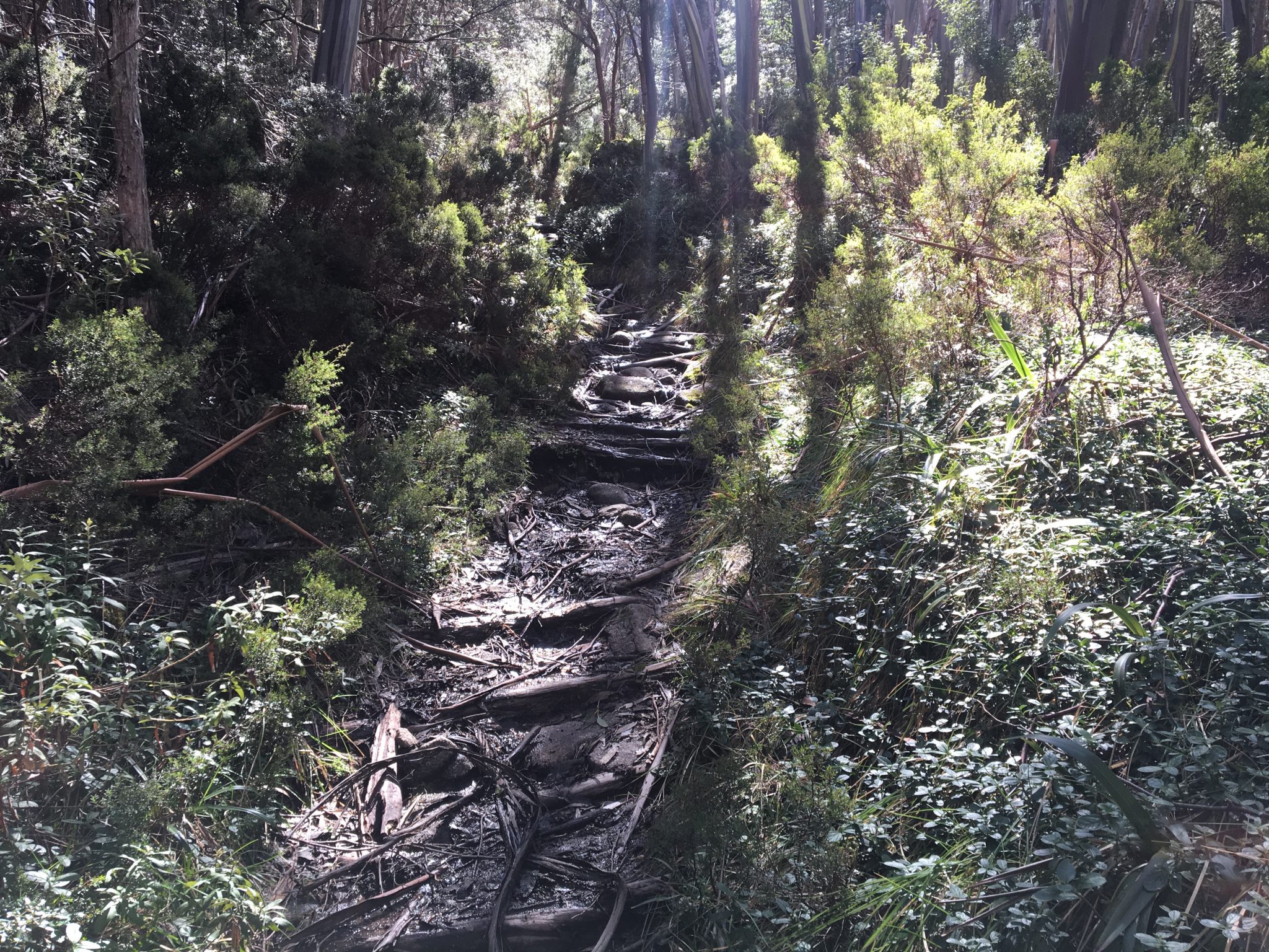
Initially, the trail is flat once you’ve left Mushroom Rocks, but it becomes gradually steeper the further you hike.
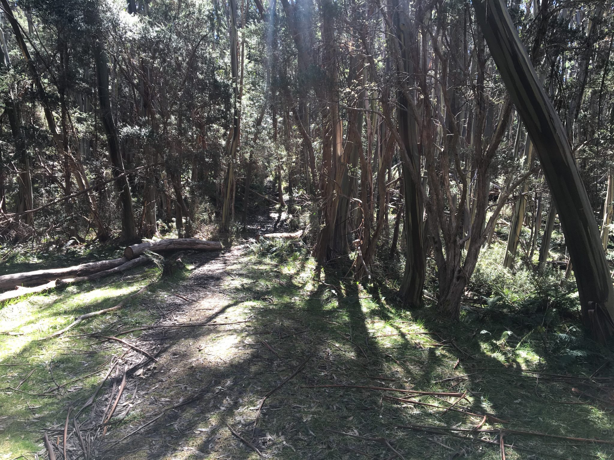
It’s roughly a 4km round hike, yet those first two kilometres feel like they go on forever as you navigate your way up the rocky path to Mount Erica.
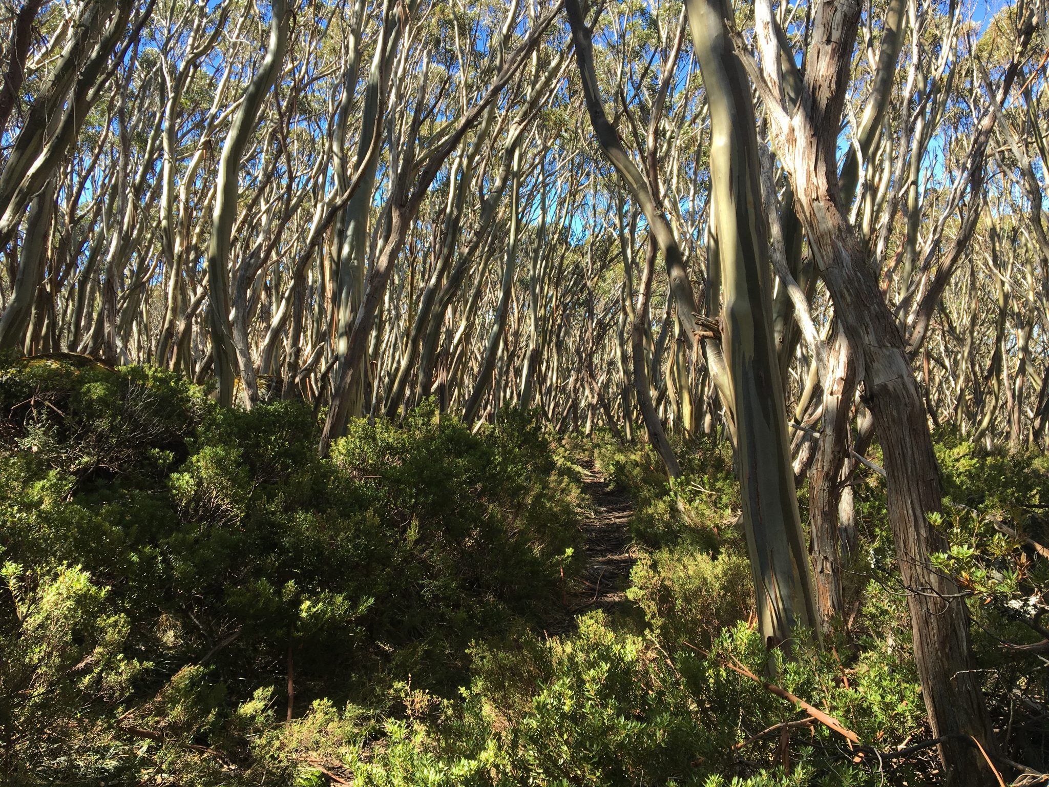
Given the area is an alpine area, the trail is littered with snow gums which further adds to the scenery and the overall experience of the walk.
The only disappointing aspect of this walk is that there is bugger all to see or do up at Mount Erica. In fact, it’s nothing more than a sign on top of a boulder that is stuck in the ground.
However, if you’re camping at Mushrooms Rocks overnight or only up there for the day, it’s worth heading up to Mount Erica if you are looking to walk a bit further than the 1.5-2km Mushroom Rocks trail.
You can also camp at the nearby Talbot Peak. But again, there’s not much to do there.
I will say that you might need a hiking pole or two if you aren’t used to hiking hills on a regular basis.
If you wish to follow the trail that I recorded via WikiLoc, you download the file here to use on your own WikiLoc app.
 The Stats – Mount Erica Trail Return
Length (km): 4.5km (according to WikiLoc)
Time: 1hr 15 mins (1hr 14 mins moving time)
Average Speed: 3.55 km/h
Difficulty: Easy-Moderate
Maximum Elevation: 1509m
Accum. elev. uphill: 362m
Accum. elev. downhill: 362m
Return/Circuit/One Way: One way/return
Location: Baw Baw
