A track that I believe rivals the Mount St Leonard and Condons Track in terms of difficulty, the Mount Juliet return track is quite the trek.
Beginning at the Road 3 management track gate located 7kms outside of Healesville, this 9km trail rises almost a kilometre in elevation from base to summit.
One thing is certain with Mount Juliet – it’s definitely not for those who rarely hike hills or whose fitness isn’t quite there yet. But it’s a good trail to aim for.
One thing I am a big believer in when it comes to hiking is to put yourself in the best position to have the most enjoyment.
What I mean by that is that there is no point in tackling something as difficult and as tricky as this track if you are a beginner hiker.
You’ll absolutely hate it and you may never want to hike again!
The first section of the track is a gentle incline to the start of the ascent up the mountain. There’s no need to rush this part so my advice to you is to treat it as a warm-up. Trust me you’ll be glad you did!
From there the Mount Juliet track rises again and flattens out in some parts.
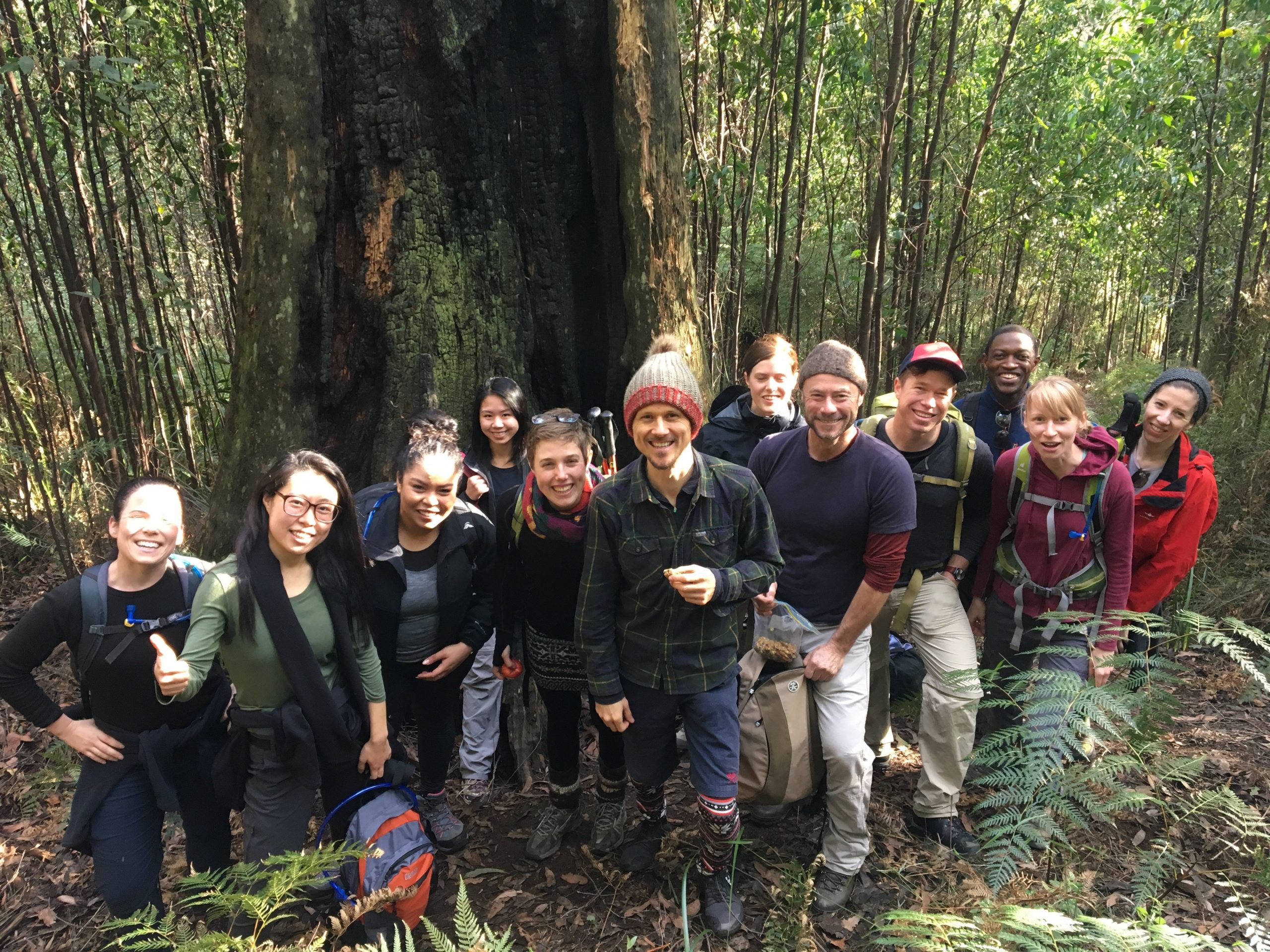
There is a particular tree on the trail that I stopped at for a break and I feel that this was the point where the track begins to get much steeper.
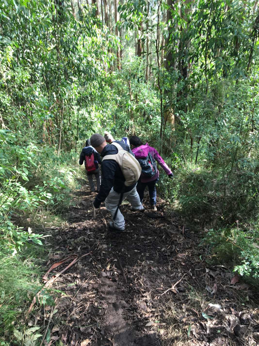
From here, it’ll be a mix of walking, scrambling, the odd tumble, and taking a rest here and there.
My advice to you would be to make sure that a) you wear a sturdy pair of hiking boots (no runners, folks!).
And b) consider bringing hiking poles as they will assist in pulling you up on the uphill, and steadying you while you make your way down.
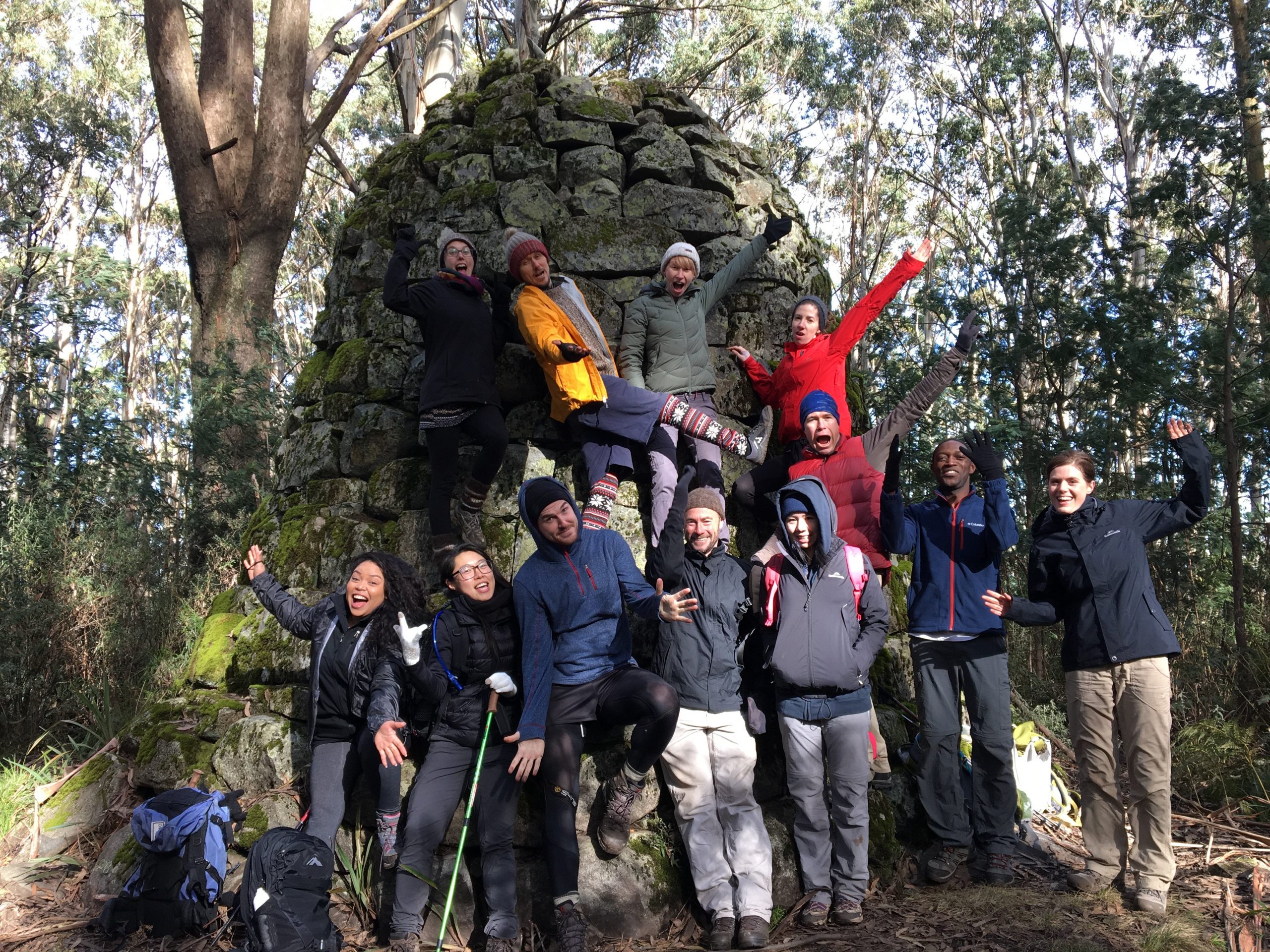 Once you get to the top, much like Mount Riddell in Healesville, there isn’t much of a view given the density of the trees.
However, there is a bell-shaped cairn that you can sit against and have a well-earned break.
Things to remember about the Mount Juliet walk
- It’s bloody hard, so consider if you’re at a point where you can do it without destroying your body
- Consider bringing hiking poles
- You will fall over and you will get muddy. It’s unavoidable
- Bring at least 3 litres of water – you’ll be working pretty hard going uphill.
As always, if you wish to download my WikiLoc recording of this, you can do so via my account.
The Stats – Mount Juliet Return Walk
Length (km): 9km (according to WikiLoc)
Time: 4hr 37 mins
Moving Time: 3hr 58 mins
Average Speed: 2.42km/h
Difficulty: Difficult/Very Difficult
Maximum Elevation: 1132m (the summit sign says 1120)
Accum. elev. uphill: 979m
Accum. elev. downhill: 938m
Return/Circuit/One Way: Return
