Starting at the Silvan Overflow Car Park, the 9.8km Olinda Creek Walking track return hike will lead you along a simple path to the Mount Evelyn Recreation Reserve.
The best place to start this hike is the car park located opposite the Silvan Reservoir Picnic Ground car park.
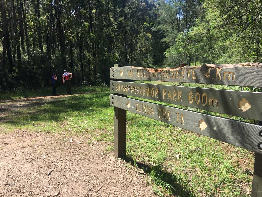
The trail begins at the bottom end/left-hand side of the car park and follows a short section of the Grey Gum Track to the fence line of the nearby Silvan Water Treatment Plant.
From there, you hike through the forest area for about 350m where you will descend a few steps, cross a bridge and come to a junction that is essentially the beginning of the Olinda Creek Walking Track.
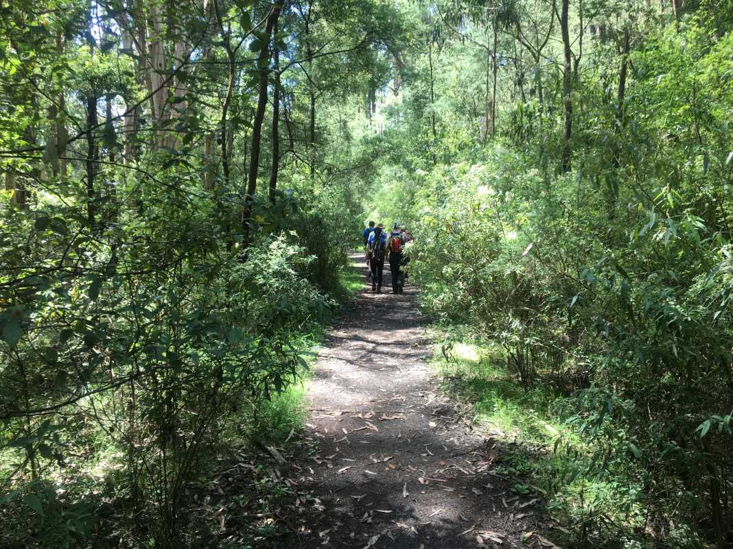
This section of the hike is nice and shaded and includes a track that is incredibly easy to follow as you make your way through the forest.
The track widens significantly and it’s a good three-kilometre hike to the top of a rather steep hill that you descend.
What I like about this track is that it is wide open and well-signed so there is very little chance of getting lost.
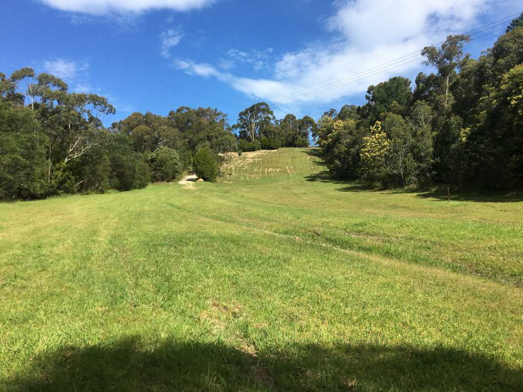
Furthermore, there are very few hills which makes this an appealing hike for those of you who are beginner hikers. Or for those of you who are looking for an easier hike to do.
As mentioned, there is a fairly steep hill that takes you to the bottom of a wide, grassy area, where there is a gate to the right.
After passing through the gate, there is another path veering off to the right that will take you to the Mount Evelyn Recreation Reserve.
Overall, the Olinda Creek Walking Track is a nice and easy hike that has very few obstacles for you to encounter. While the hill is steep, take your time descending it and you’ll be absolutely fine whilst doing so.
I’d almost certainly recommend it for those people who are only just getting into bushwalking/hiking or for those weekend wanderers who don’t mind taking a drive out into the Dandenongs for the day for a hike.
As always, if you wish to follow the same path, download it here via WikiLoc.
The Stats – Olinda Creek Walking Track Return
Length (km): 9.76km (according to WikiLoc)
Time: 2hr 32 mins
Average Speed: 3.80 km/h
Difficulty: Easy
Maximum Elevation: 248m
Accum. elev. uphill: 120m
Accum. elev. downhill: 120m
Return/Circuit/One Way: Return
