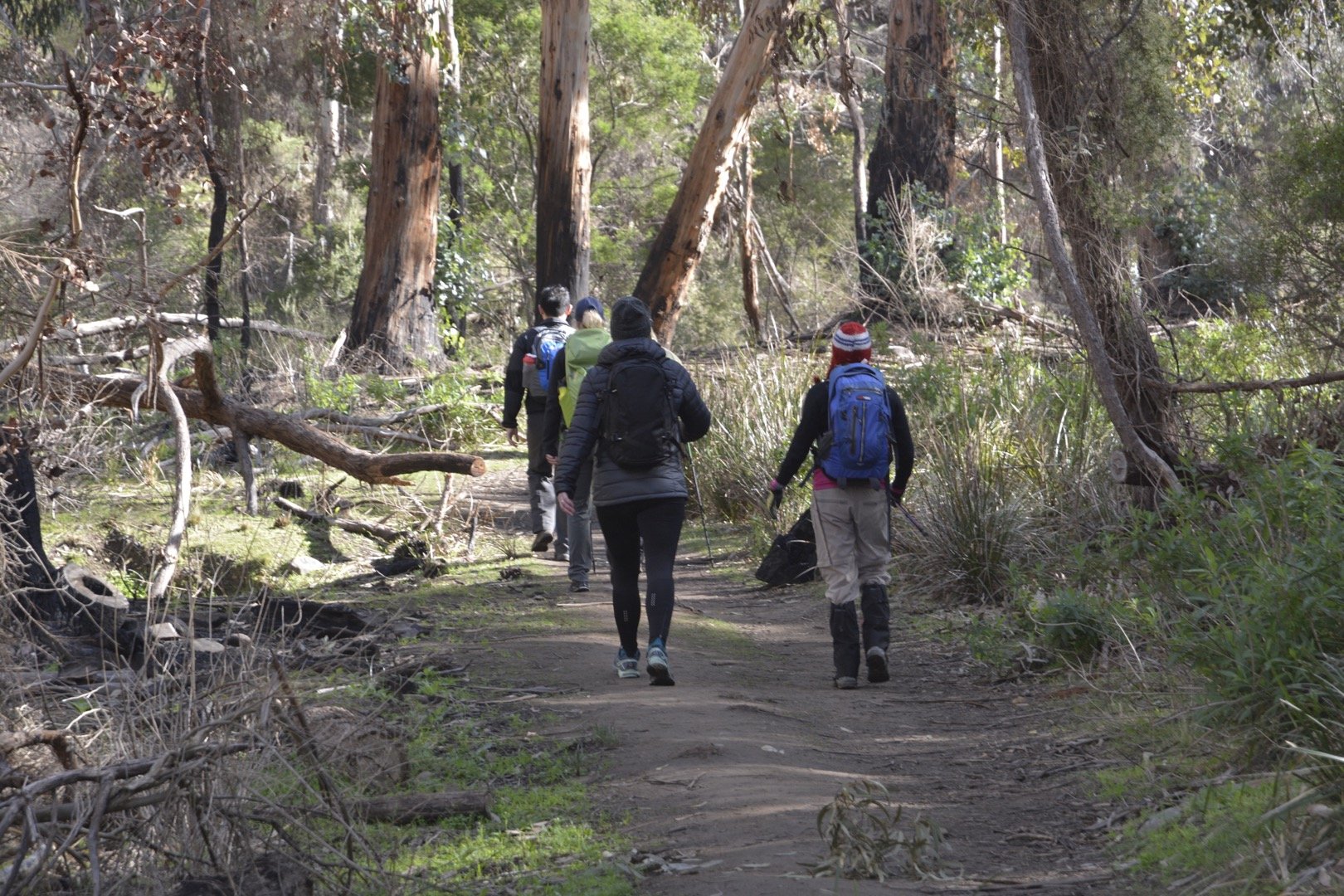
A hiking track located in the southern section of the Lerderderg Gorge State Park, the Scenic Rim track is a tough day hike in Victoria but with plenty to like about it.
In just over 16kms, and around 6 hours worth of hiking, the Scenic Rim track effectively skirts around the Lerderderg River taking in some incredible views of the surrounding mountains at the same time.
This track is a loop hike so it can be done one of two ways, but the trailhead is located at Mackenzies Flat Picnic Area.
This start point is ideal as it is complete with ample car park spots, a toilet block, plenty of grassy areas for a picnic, and plenty of nearby river crossings.
What to Expect – Scenic Rim
Well, to begin with, plenty of hills that consist of rocky paths where some climbing is required. You can also expect at least four river crossings where you’ll get your feet wet at least once.
Don’t worry – they’re a heap of fun and really add to the overall enjoyment of the hike.
Leaning on the map of the area provded by Parks Victoria, I gladly followed the markers as I continued on the path.
This came in handy more than once in the beginning as there are plenty of tracks going off in several directions which can be confusing at times (nice job, Parks Victoria!).
I followed the path around in an anti-clockwise direction which, in hindsight, I felt was the right decision in the end given the number of steep hills I had to come down towards the end.
I think what I like most about this hike is the variety of trails that you come across during the 16kms.
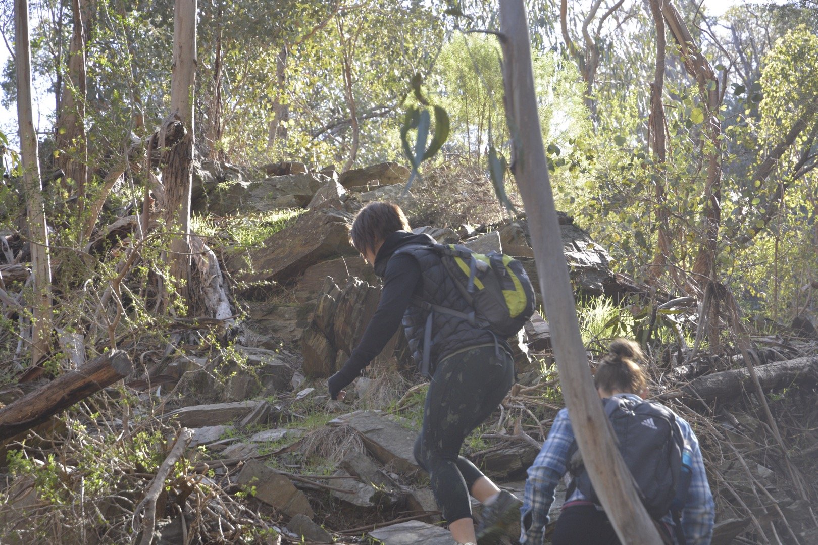
You’ll be treated to the usual well-worn bush track, as well as rocky spurs that feel like they go on forever and wide open management vehicle tracks. This is typical of the terrain in Lerderderg Gorge.
If you do the hike in an anti-clockwise direction, at around the 7km mark there’s a dam and a really nice spot to stop for lunch and put your feet up for a bit.
After this section, it’s mainly a number of sharp uphill sections until you get to the Blackwood Ranges Track which is a wide-open track and a welcome change from all the hills.
Follow this until you come to Link Track No.1 (signpost LER 506) which is a sharp descent back to the river which rejoins the trail back to the car park.
Summary – Scenic Rim in the Lerderderg Gorge State Park
To summarize this hike, and to give you some comparison hikes, I’d say it’s a mix of two of the most popular day hikes in Victoria:
It also has shades of the Mitchell River Walking Track and the ever-popular Werribee Gorge Circuit.
It’s a fairly taxing hike and you will be out there for most of the day so ensure you take plenty of water and food to last the entire hike.
I’d probably rank this hike as a Grade 4 as it contains some well-formed tracks but with many sharp inclines and hills that may test you.
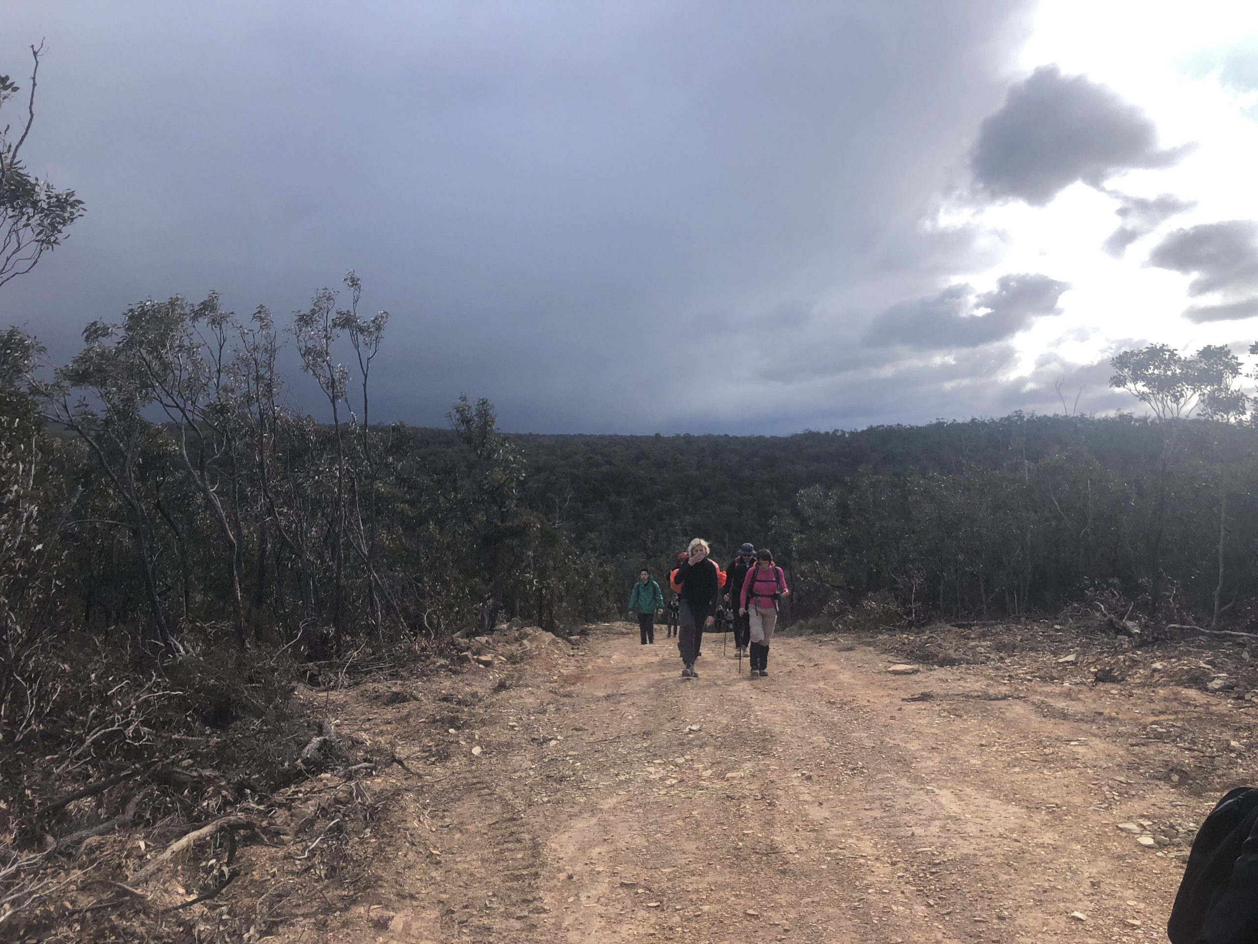 If you’re not a massive fan of hills, then you may want to consider an easier alternative in the park – the East/West and Cowan Track.
As always, if you want to follow the path I took on the Scenic Rim in the Lerderderg State Park, feel free to check out my WikiLoc version of it here.
Please note: it’s missing roughly 3kms as my phone malfunctioned, but if you continue on from where it was no longer being tracked it will take you back to the start.
The Stats – Scenic Rim, Lerderderg Gorge State Park
Length (km): 16.6km (according to WikiLoc)
Time: 5h 54mins
Moving Time: 4hr 17mins
Difficulty: Difficult (Grade 4)
Maximum Elevation: 512m
Accum. elev. uphill: 808m
Accum. elev. downhill: 512m
Return/Circuit/One Way: Loop/Circuit
