If you are looking for a shorter alternative to the Olinda Falls and Valley Circuit, then this is the hike in the Dandenong Ranges for you.
Now, you can start this hike from a number of locations, but we decided to start it from the Valley Picnic Ground.
Heading down Georges Track (located to the right when you arrive in the car park), this is a gentle descnet until you reach an intersection. The track flattens out and will lead you to the Rifle Range Gully Track.
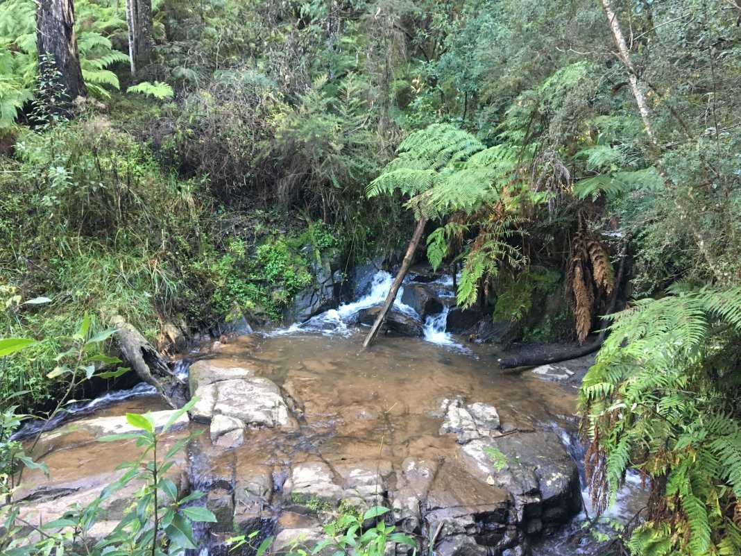
I think the best part about this section is that you enter into some pretty dense forest terrain where you feel a million miles away from everything.
It’s a fairly easy track to navigate but it can get quite muddy during the colder months.
The track itself is a gentle incline to the intersection of Bartlett Track where there’s an ideal spot to stop and have a bite to eat.
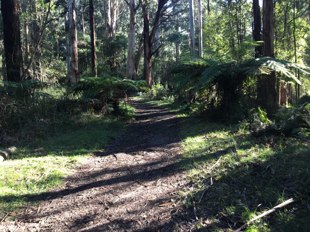
Follow Bartlett Track west to Falls Road where you will take a right and head north to Mechanics Track.
Mechanics Track, much like Rifle Range Gully Track, runs through quite a dense forest area while following Olinda Creek to the Olinda Falls.
The falls themselves are nice to look at but aren’t nearly as nice as some of the other waterfalls located in Victoria such as Steavenson Falls.
However, there are two viewing platforms at the upper and lower section of the falls and it is quite a popular attraction in the area.
To return to the Valley Picnic Ground, simply hike back the way that you came in.
This hike is a really enjoyable one and can be done in a number of ways given the number of separate trails in the forest.
I believe that this hike would be suitable for hikers of all abilities as there really aren’t many obstacles to tackle on your way to Olinda Falls.
As always, if you want to follow the track I did, feel free to download it from my Wikiloc account.
The Stats – Valley Picnic Ground to Olinda Falls Return
Length (km): 7.11km (according to WikiLoc)
Time: 1hr 58 mins
Average Speed: 3.59km/h
Difficulty: Easy-Moderate
Maximum Elevation: 448m
Accum. elev. uphill: 248m
Accum. elev. downhill: 248m
Return/Circuit/One Way: Return
