If you were ever short on time but still wanted to go on a decent little walk through the RJ Hamer Arboretum, then I would suggest the Valley Picnic Ground to Eagles Nest Picnic Ground return hike.
This almost 3.5km hike has very few hills, and two picturesque picnic grounds, and is located at the northern end of the RJ Hamer Arboretum.
The great thing about he RJ Hamer Arboretum is that there are so many tracks and trails to walk. You can make up whatever hike you want.
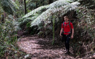
Much like the Olinda Falls and Valley Circuit, you are surrounded by lush forest areas including Mountain Ash and plenty of ferns.
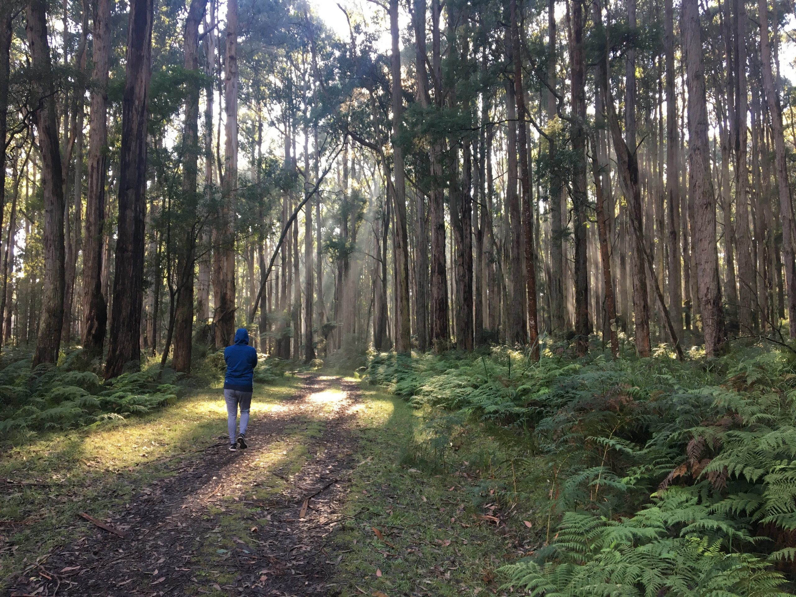
Starting at the Valley Picnic Ground, head north-west on a decline on Georges Track until you come to the t-intersection at Eagles Nest Track.
Taking a right here, you will immediately come to another descent into the forest.
However, once you get to the bottom, you’ll hike on a flat surface until Eagles Nest Picnic Ground.
The picnic ground itself has plenty of car park space and plenty of room on the grass area which makes it ideal for little kids.
Hermon Track is easily accessible and this is the track you need to take to continue the hike.
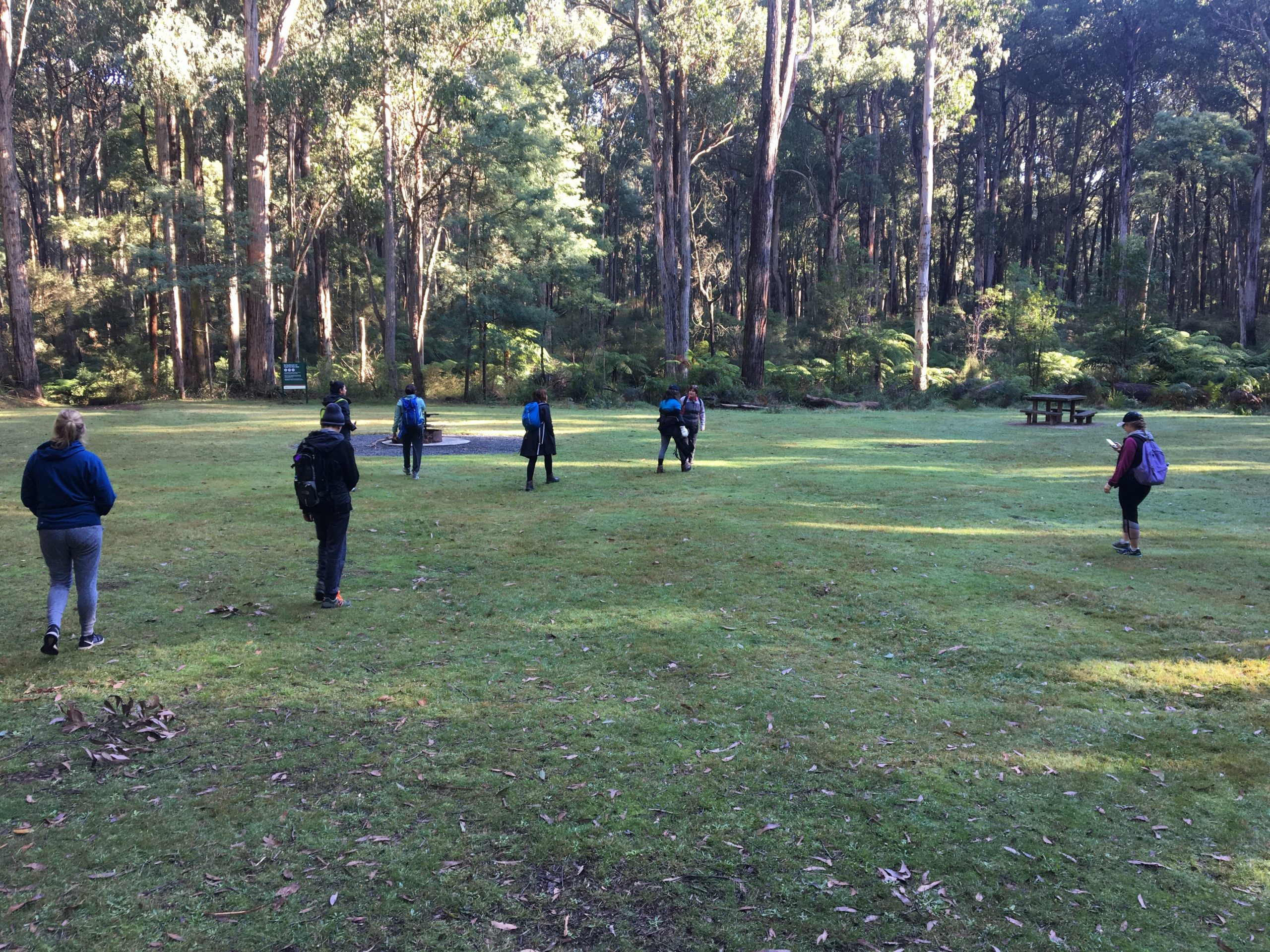
Cross the bridge and continue to follow this path until you come to the t-intersection of Eagles Nest Track and Rifle Range Gully. Take a left here.
Follow this for a short time until you come back to the first t-intersection at Georges Track, and ascend the hill back to the car park.
The Valley Picnic Ground to Eagles Nest Picnic Ground return is a fairly easy hike and one that parents could take their children on or one that you could do as a beginner hiker.
The reason it would be a good option for beginners is that there are few hills to navigate and the track itself is fairly wide.
As always, to follow this trail, you can download it here via my WikiLoc page.
The Stats – Valley Picnic Ground to Eagles Nest Picnic Ground Return
Length (km): 3.38km (according to WikiLoc)
Time: 1hr 43 mins
Moving Time: 59 mins
Average Speed: 3.32km/h
Difficulty: Easy
Maximum Elevation: 318m
Accum. elev. uphill: 92m
Accum. elev. downhill: 92m
Return/Circuit/One Way: Circuit
